Vernal Ridge Trail
- 0.4 mi
- distance
- 25 ft
- climb
- 360 ft
- high point
- Lollipop
- route
- Jan–Dec
- best months
Vernal Ridge Trail is a short, easy hike in California, about 1.8 miles from the town of Allegro Heights. The trail is only 0.36 miles long, and the climb is gentle, with a total elevation gain of 25 feet and a loss of 36 feet over the course of the route. The steepest stretch comes at about 0.28 miles, where the grade reaches 4 percent. Late summer and early fall are the most comfortable times to go. Typical averages from a nearby weather station in Santa Cruz show September highs around 77°F with only about one wet day in the month, while winter brings highs in the low 60s and roughly 10 wet days a month. The trip takes about half an hour, so it works well as a quick outing. Moore Creek Trail is just 0.3 miles away, and Wild Boar Trail is 0.8 miles off. For climbing, UC Santa Cruz is about 1.8 miles away, and The Forbidden Forest is about 1.9 miles away.
- Moore Creek TrailHiking0.3 mi
- Engelsman Loop TrailMountain biking0.7 mi
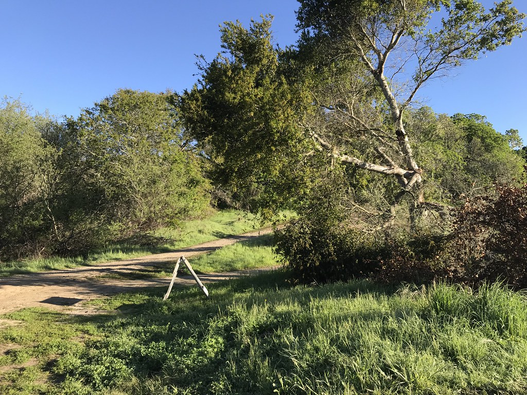 Wild Boar TrailHikingPhoto: fogcat5, CC BY-SA 2.0 (via Flickr)0.8 mi
- UC Santa CruzRock climbing1.8 mi
- The Forbidden ForestRock climbing1.9 mi
- Santa CruzRock climbing2.8 mi
 San Lorenzo RiverCanoeingPhoto: Chevy111, CC BY-SA 4.0 (via Wikimedia Commons)8.5 mi
- Zayante CreekCanoeing8.7 mi
Source: Roamze catalog (indexable pages within 10 miles, PostGIS distance)
- Wild Boar TrailHiking · ~1 min drivePhoto: fogcat5, CC BY-SA 2.0 (via Flickr)
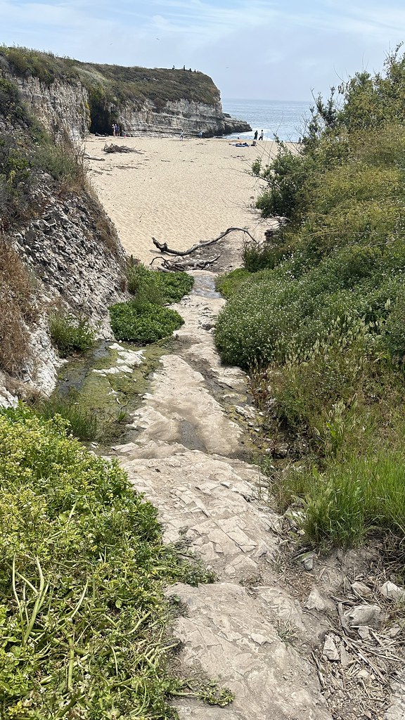 Engelsman Loop TrailHiking · ~2 min drivePhoto: lamblukas, CC BY 2.0 (via Flickr)
- Engelsman Loop Trail (old)Hiking · ~2 min drivePhoto: lamblukas, CC BY 2.0 (via Flickr)
 Ohlone Bluff TrailHiking · ~2 min drivePhoto: lamblukas, CC BY 2.0 (via Flickr)
- Cowboy Loop TrailHiking · ~2 min drivePhoto: lamblukas, CC BY 2.0 (via Flickr)
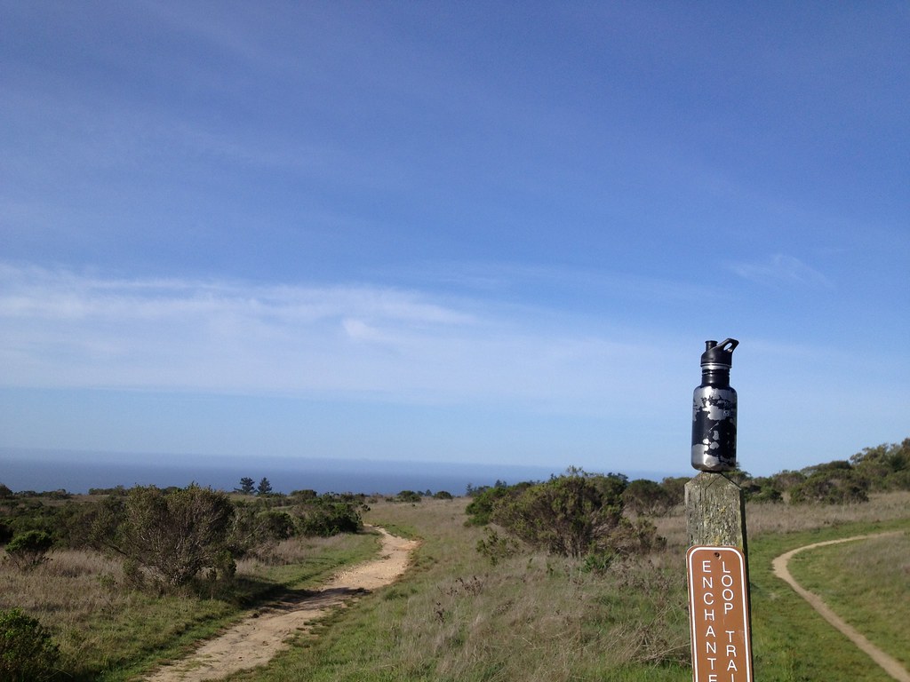 Baldwin LoopHiking · ~4 min drivePhoto: fogcat5, CC BY-SA 2.0 (via Flickr)
- Ridge LoopHiking · ~2 min drivePhoto: fogcat5, CC BY-SA 2.0 (via Flickr)
- Enchanted Loop TrailHiking · ~4 min drivePhoto: fogcat5, CC BY-SA 2.0 (via Flickr)
 Twin Oaks TrailHiking · ~2 min drivePhoto: fogcat5, CC BY-SA 2.0 (via Flickr)
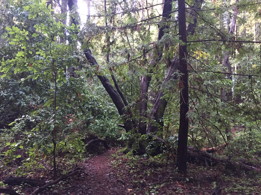 Holiday TrailHiking · ~5 min drivePhoto: fogcat5, CC BY-SA 2.0 (via Flickr)
Best time to visit Vernal Ridge Trail
Best months: Year-round. Best months have typical highs of 55–85 °F, lows of 30 °F or warmer (32 °F where the station doesn't record snow), at most one snowy day and no more than 12 wet days.
Jan
63° / 41°
11 wet
Feb
64° / 43°
10 wet
Mar
67° / 44°
10 wet
Apr
69° / 46°
6 wet
May
71° / 49°
3 wet
Jun
74° / 52°
1 wet
Jul
74° / 54°
1 wet
Aug
76° / 55°
1 wet
Sep
77° / 53°
1 wet
Oct
74° / 50°
4 wet
Nov
67° / 44°
7 wet
Dec
61° / 41°
10 wet
Typical high / low (°F) and days with rain or snow, 1991–2020. Measured at Santa Cruz, CA, 4.1 mi away at 70 ft. Source: NOAA NCEI U.S. Climate Normals 1991–2020.
Map and trail data © OpenStreetMap contributors
