Wilder Ranch State Park Horse Camping
Campground
Campground · 1.0 mi from the trail
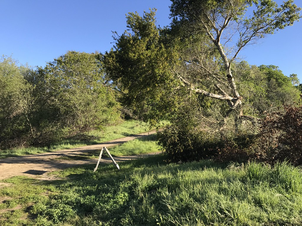 Photo: fogcat5, CC BY-SA 2.0 (via Flickr)
Clear at last check
Weather is good · OpenWeather · checked 14 h ago
Ridge Loop is an easy out-and-back hike in Wilder Ranch State Park in California, managed by State Park and Recreation. The route is 3.4 miles long, with a total elevation gain of 380 feet, and it reaches a high point of 287 feet. The climb is steady, and the steepest stretch comes at about 1.1 miles in, with an 8% grade. The most comfortable time to go is late summer into early fall. Typical averages from a nearby weather station in Santa Cruz show September highs around 77°F with only about one wet day, while winter brings highs in the low 60s and roughly 10 wet days a month. The hike takes about 1.5 hours. The Engelsman Loop Trail for mountain biking is 0.3 miles away, and the Cowboy Loop Trail and Twin Oaks Trail are both within a mile. Climbers can find UC Santa Cruz about 2.5 miles off.
Wilder Ranch State Park Horse Camping
Campground
Rachel Carson/Oakes Dining Hall
Fast food
 If it rainsMrwrite, CC BY-SA 3.0 · Wikimedia Commons
Places © OpenStreetMap contributors · Photos: Mrwrite, CC BY-SA 3.0 (commons)
More in PescaderoBest months: Year-round. Best months have typical highs of 55–85 °F, lows of 30 °F or warmer (32 °F where the station doesn't record snow), at most one snowy day and no more than 12 wet days.
Jan
63° / 41°
11 wet
Feb
64° / 43°
10 wet
Mar
67° / 44°
10 wet
Apr
69° / 46°
6 wet
May
71° / 49°
3 wet
Jun
74° / 52°
1 wet
Jul
74° / 54°
1 wet
Aug
76° / 55°
1 wet
Sep
77° / 53°
1 wet
Oct
74° / 50°
4 wet
Nov
67° / 44°
7 wet
Dec
61° / 41°
10 wet
Typical high / low (°F) and days with rain or snow, 1991–2020. Measured at Santa Cruz, CA, 5 mi away at 70 ft. Source: NOAA NCEI U.S. Climate Normals 1991–2020.
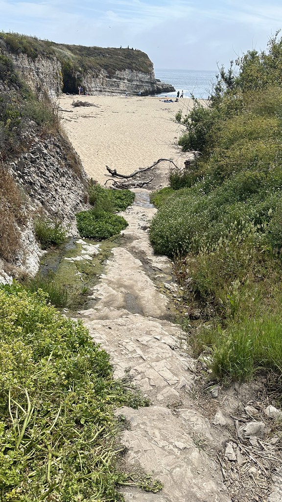 Photo: lamblukas, CC BY 2.0 (via Flickr)
Engelsman Loop Trail (old)
Next door
1.04-mile out-and-back trail in California with 196 ft elevation gain
Photo: lamblukas, CC BY 2.0 (via Flickr)Engelsman Loop Trail
Next door
3.46-mile loop in California with 1,146 ft gain and 559 ft max elevation.
Photo: lamblukas, CC BY 2.0 (via Flickr)Cowboy Loop Trail
Next door
1.55-mile loop trail in California with 336 ft elevation gain.
 Photo: lamblukas, CC BY 2.0 (via Flickr)
Ohlone Bluff Trail
~1 min drive
7.72-mile out-and-back hike in California with 1,362 ft of elevation gain
 Photo: fogcat5, CC BY-SA 2.0 (via Flickr)
Twin Oaks Trail
~1 min drive
2.18-mile out-and-back trail in California with 305 ft elevation gain.
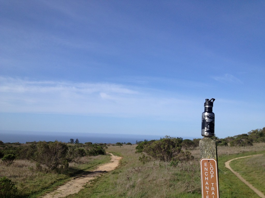 Photo: fogcat5, CC BY-SA 2.0 (via Flickr)
Enchanted Loop Trail
~3 min drive
2.66-mile out-and-back trail in California with 1,077 ft of elevation gain
Photo: fogcat5, CC BY-SA 2.0 (via Flickr)Zane Gray Cutoff
~1 min drive
1.78-mile out-and-back trail in California with 554 ft elevation gain
Photo: fogcat5, CC BY-SA 2.0 (via Flickr)Baldwin Loop
~3 min drive
3.86-mile out-and-back trail in California with 1,200 ft elevation gain
Photo: lamblukas, CC BY 2.0 (via Flickr)Old Cove Landing Trail
~1 min drive
1.98-mile loop trail in California with 303 ft elevation gain and loss.
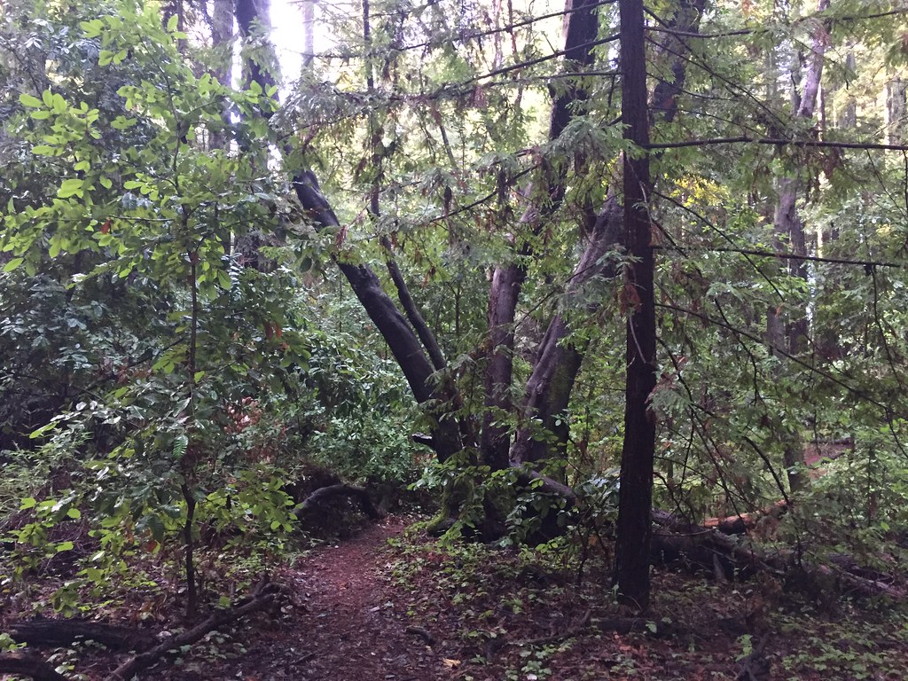 Photo: fogcat5, CC BY-SA 2.0 (via Flickr)
Holiday Trail
~5 min drive
3.34-mile out-and-back trail in California with 1,066 ft elevation gain/loss
Map and trail data © OpenStreetMap contributors
