Ramona Oaks RV Park
Campground
Campground · 6.2 mi from the trail
Upper Creek Trail is a short, easy out-and-back hike in Santa Ysabel Preserve, a county-managed preserve in California. The trail is about 0.9 miles long, and the round trip adds up to roughly 1.8 miles with a total elevation gain of about 450 feet. The climb is front-loaded, with the steepest stretch at about 0.2 miles from the start, where the grade reaches 18 percent. The trail's high point is about 3,020 feet, and the starting point sits at roughly 2,780 feet. Spring and fall are the most comfortable times to go. Typical averages from a nearby weather station at Henshaw Dam show May highs around 75°F and October highs near 79°F, while July and August average in the low 90s. The Ridge Trail lies just 0.2 miles away, and the Coast to Crest Trail is about 0.7 miles off. Lower Creek Trail is roughly a mile away, and paddlers can find Santa Ysabel Creek about 5.4 miles from the trail.
Ramona Oaks RV Park
Campground
Farmhouse 78
Restaurant
Places © OpenStreetMap contributors
More in JulianNot on Roamze yet. Their page has how to reach them.
 Ridge TrailHikingPhoto: Robert DuHamel, CC BY-SA 3.0 (via Wikimedia Commons)0.2 miCoast to Crest TrailHikingPhoto: Robert DuHamel, CC BY-SA 3.0 (via Wikimedia Commons)0.7 miLower Creek TrailHikingPhoto: Robert DuHamel, CC BY-SA 3.0 (via Wikimedia Commons)1 mi
Source: Roamze catalog (indexable pages within 10 miles, PostGIS distance)
Ridge TrailHiking · Next doorPhoto: Robert DuHamel, CC BY-SA 3.0 (via Wikimedia Commons) Gower Truck TrailHiking · ~15 min drivePhoto: beeron2003, CC BY-SA 2.0 (via Flickr)
 Pacific Crest National Scenic Trail #2000Hiking · ~17 min drivePhoto: lhogue46, CC BY 2.0 (via Flickr)Coast to Crest TrailHiking · ~1 min drivePhoto: Robert DuHamel, CC BY-SA 3.0 (via Wikimedia Commons)
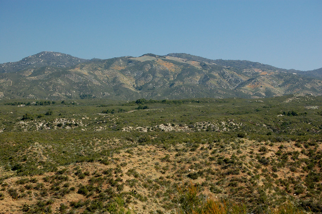 Pacific Crest National Scenic Trail #2000Hiking · ~17 min drivePhoto: lhogue46, CC BY 2.0 (via Flickr)Lower Creek TrailHiking · ~2 min drivePhoto: Robert DuHamel, CC BY-SA 3.0 (via Wikimedia Commons)
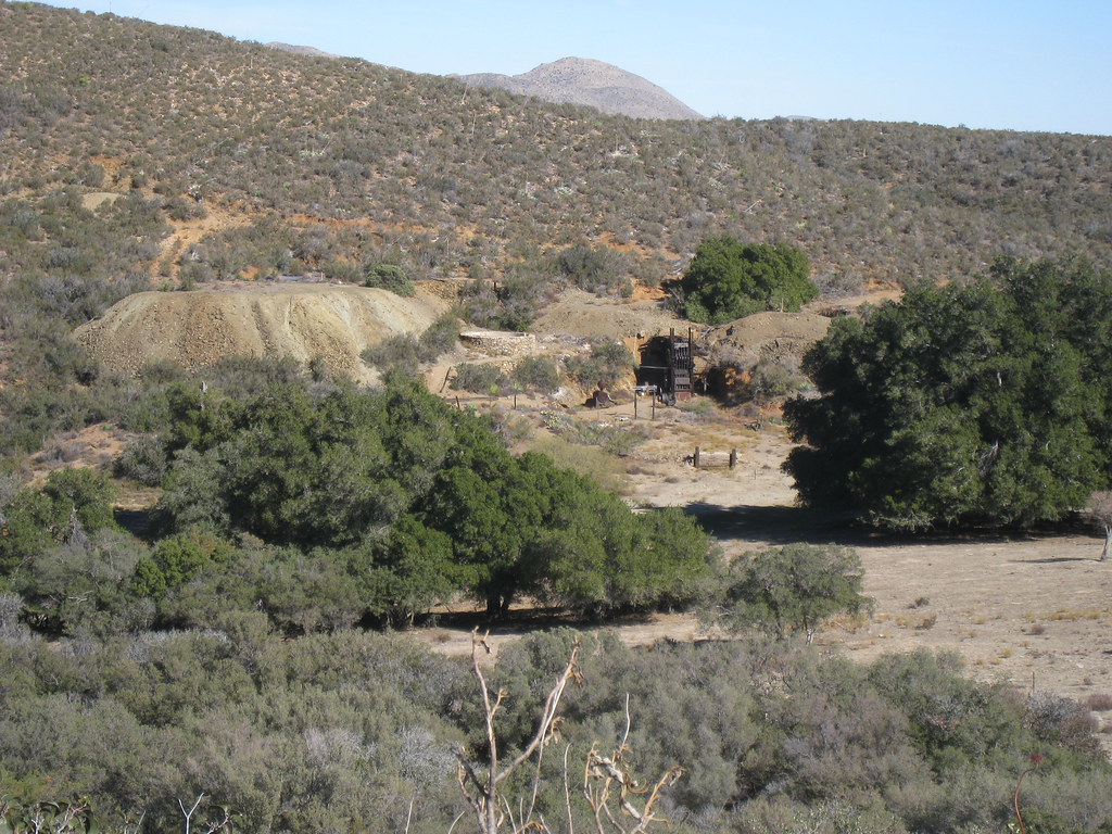 California Riding and Hiking TrailHiking · ~18 min drivePhoto: GSEC, CC BY 2.0 (via Flickr)
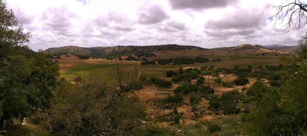 InajaHiking · ~5 min drivePhoto: Olivier Pasco, CC BY 2.0 (via Flickr)
Best months: February–June and October–November. Best months have typical highs of 55–85 °F, lows of 30 °F or warmer (32 °F where the station doesn't record snow), at most one snowy day and no more than 12 wet days.
Jan
60° / 31°
7 wet
Feb
61° / 32°
8 wet
Mar
65° / 35°
8 wet
Apr
69° / 38°
5 wet
May
75° / 43°
3 wet
Jun
85° / 46°
1 wet
Jul
92° / 53°
1 wet
Aug
93° / 54°
1 wet
Sep
89° / 49°
2 wet
Oct
79° / 40°
3 wet
Nov
68° / 34°
5 wet
Dec
60° / 30°
7 wet
Typical high / low (°F) and days with rain or snow, 1991–2020. Measured at Henshaw Dam, CA, 9.1 mi away at 2,700 ft. This station doesn't record snowfall. Source: NOAA NCEI U.S. Climate Normals 1991–2020.
Map and trail data © OpenStreetMap contributors
