Tuolumne River Trail
- 0.7 mi
- round trip
- 394 ft
- climb
- 166 ft
- high point
- Out and back
- route
- Oct–May
- best months
The Tuolumne River Trail is a short, easy out-and-back hike in Waterford River Walk Park, a city-managed park in California. The route is about 1.5 miles long, with a total elevation gain of 394 feet, and it starts and ends at nearly the same elevation, so it works well as a quick walk or a warm-up before a longer outing. The trail is rolling, with the steepest stretch coming at about 0.35 miles in, where the grade reaches 9 percent. The high point is 166 feet, and the low point is 79 feet, so the climb is gentle and the route stays close to the water. Spring and fall are the most comfortable times to go. Typical averages from a nearby weather station in Turlock show May highs around 80°F and October highs around 77°F, while July and August average in the low 90s. The trip takes about half an hour, so plan on a short visit. The park itself is the main draw, and the trail fits easily into a day spent exploring the surrounding area.
 Old Stage TrailHiking · ~35 min drivePhoto: Adam Schultz, CC BY 3.0 (via Wikimedia Commons)
- Soaproot Ridge TrailHiking · ~36 min drivePhoto: Adam Schultz, CC BY 3.0 (via Wikimedia Commons)
 Carson Creek TrailHiking · ~50 min drivePhoto: cogdogblog, CC BY 2.0 (via Flickr)
- Overlook Loop TrailHiking · ~36 min drivePhoto: Adam Schultz, CC BY 3.0 (via Wikimedia Commons)
 Pelican Nature TrailHiking · ~43 min drivePhoto: Elaine with Grey Cats, CC BY-SA 2.0 (via Flickr)
- Six Bit TrailHiking · ~38 min drive
 Jeff's Walk of ShameHiking · ~37 min drivePhoto: MarkDoliner, CC BY-SA 2.0 (via Flickr)
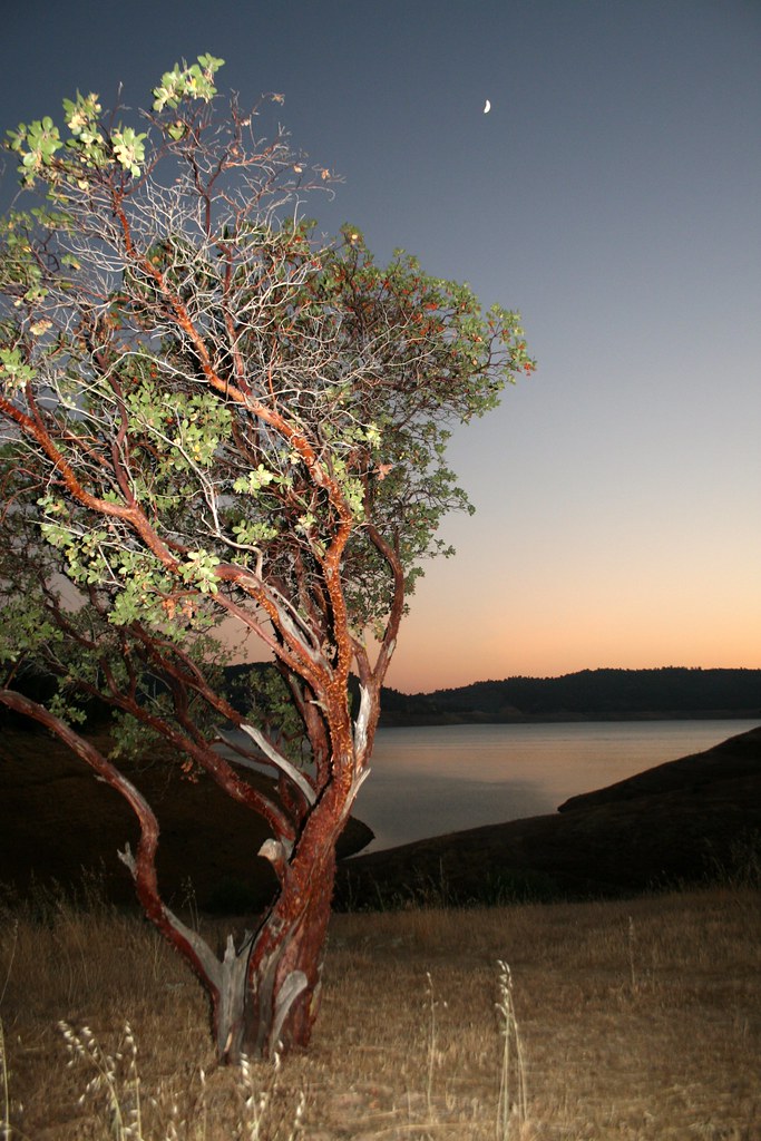 Heron Point TrailHiking · ~47 min drivePhoto: Genista, CC BY-SA 2.0 (via Flickr)
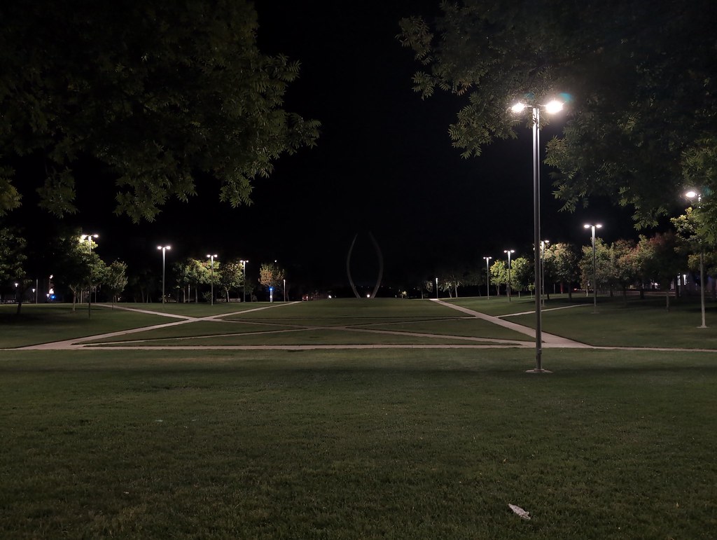 La Playa TrailHiking · ~44 min drivePhoto: ucanthavemyname, Public Domain Mark (via Flickr)
- Old Stage TrailHiking · ~38 min drive
Best time to visit Tuolumne River Trail
Best months: October–May. Best months have typical highs of 55–85 °F, lows of 30 °F or warmer (32 °F where the station doesn't record snow), at most one snowy day and no more than 12 wet days.
Jan
55° / 42°
10 wet
Feb
61° / 45°
10 wet
Mar
67° / 49°
9 wet
Apr
72° / 52°
5 wet
May
80° / 57°
3 wet
Jun
88° / 62°
1 wet
Jul
93° / 66°
0 wet
Aug
92° / 65°
0 wet
Sep
88° / 62°
1 wet
Oct
77° / 55°
3 wet
Nov
64° / 47°
6 wet
Dec
55° / 42°
9 wet
Typical high / low (°F) and days with rain or snow, 1991–2020. Measured at Turlock #2, CA, 10.5 mi away at 103 ft. Source: NOAA NCEI U.S. Climate Normals 1991–2020.

Map and trail data © OpenStreetMap contributors
