Tres Sendas Trail
- 0.4 mi
- round trip
- 240 ft
- climb
- 1,399 ft
- high point
- Out and back
- route
- Jan–Dec
- best months
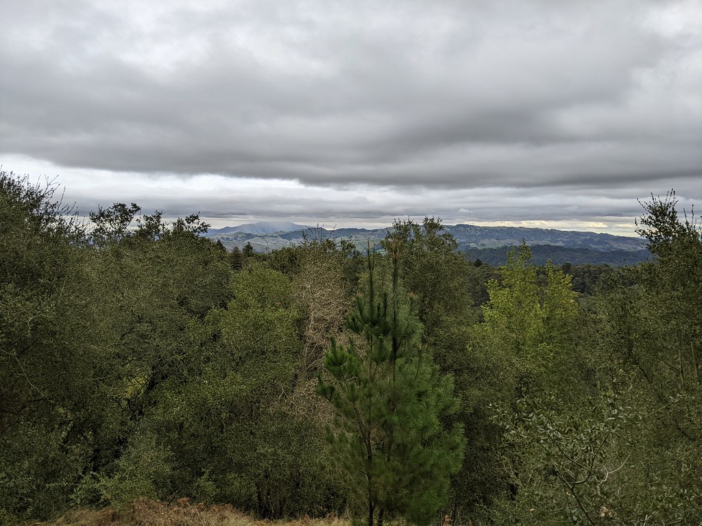
Tres Sendas Trail is a short, easy out-and-back hike in Redwood Regional Park, a regional agency land unit in California. The trail is about 0.4 miles long, and the round trip adds up to roughly 0.8 miles with a total elevation gain of about 240 feet. The high point is 1,399 feet, and the low point is 1,163 feet, so the climb is gentle and the route is suited to a quick stop. The trail starts at 1,399 feet, and the steepest stretch comes at about 0.28 miles in, where the grade reaches 18 percent. That makes the middle of the route the most noticeable part of the climb, but the overall change in elevation is small, and the hike can be done in about half an hour. Late summer and early fall are the driest and warmest times to go. Typical averages from a nearby weather station in Berkeley show September highs around 76°F with only about one wet day, while winter brings highs near 59°F and roughly 11 wet days a month. That station sits well below the trail, so temperatures on the route run cooler. Castle Park Trail and French Trail both lie about 0.3 miles away, and Stream Trail is about half a mile off. For climbers, Grizzly Peak Boulders is about 5 miles away.
Local outfitters
- Point Reyes Outdoors38 mi away
Not on Roamze yet. Their page has how to reach them.
- Castle Park TrailHiking0.3 mi
- French TrailHiking0.3 mi
 Stream TrailHikingPhoto: vonguard, CC BY-SA 2.0 (via Flickr)0.5 mi
- Chaparral TrailHiking0.5 mi
- Grizzly Peak BouldersRock climbing5 mi
- Main RockRock climbing5.1 mi
- Short Traverse RockRock climbing5.1 mi
- Diagonal Traverse RockRock climbing5.1 mi
Source: Roamze catalog (indexable pages within 10 miles, PostGIS distance)
 Tres Sendas TrailHiking · Next doorPhoto: weldonwk, CC BY 2.0 (via Flickr)
- Stream TrailHiking · Next doorPhoto: vonguard, CC BY-SA 2.0 (via Flickr)
- Phillips LoopHiking · ~1 min drivePhoto: vonguard, CC BY-SA 2.0 (via Flickr)
- West Ridge TrailHiking · Next doorPhoto: vonguard, CC BY-SA 2.0 (via Flickr)
 Madrone TrailHiking · ~1 min drivePhoto: tobo, CC BY-SA 2.0 (via Flickr)
- French TrailHiking · ~1 min drivePhoto: weldonwk, CC BY 2.0 (via Flickr)
- Big Trees TrailHiking · ~1 min drivePhoto: tobo, CC BY-SA 2.0 (via Flickr)
 Dunn TrailHiking · ~2 min drivePhoto: tobo, CC BY-SA 2.0 (via Flickr)
- Sunset LoopHiking · ~2 min drivePhoto: tobo, CC BY-SA 2.0 (via Flickr)
 Lower Huckleberry Loop TrailHiking · ~2 min drivePhoto: vonguard, CC BY-SA 2.0 (via Flickr)
Best time to visit Tres Sendas Trail
Best months: Year-round. Best months have typical highs of 55–85 °F, lows of 30 °F or warmer (32 °F where the station doesn't record snow), at most one snowy day and no more than 12 wet days.
Jan
59° / 43°
11 wet
Feb
62° / 44°
10 wet
Mar
65° / 46°
10 wet
Apr
67° / 47°
7 wet
May
70° / 49°
3 wet
Jun
74° / 52°
1 wet
Jul
74° / 53°
0 wet
Aug
75° / 54°
1 wet
Sep
76° / 54°
1 wet
Oct
73° / 52°
3 wet
Nov
65° / 47°
7 wet
Dec
59° / 43°
11 wet
Typical high / low (°F) and days with rain or snow, 1991–2020. Measured at Berkeley, CA, 5.4 mi away at 310 ft. The station sits about 1,100 ft lower than this place, so expect it a little cooler here. Source: NOAA NCEI U.S. Climate Normals 1991–2020.

Map and trail data © OpenStreetMap contributors
