Trabuco Canyon
- 8.6 mi
- round trip
- 2,324 ft
- climb
- 4,194 ft
- high point
- Out and back
- route
Caution at last check
Agency alerts are in effect for this area; weather is good · USFS, OpenWeather · checked 18 h ago
Is Trabuco Canyon open right now?
Closure in the area
There's a closure order in Cleveland National Forest. It doesn't name Trabuco Canyon, so check the source for the area it covers.
Airport Fire Burned Area Closure
Agency closure covering Cleveland National Forest · Order 02-26-09 · USFS · Cleveland National Forest
Cedar Creek Falls Visitor Use Permit Area
Agency alert covering Cleveland National Forest · Order 02-26-07 · USFS · Cleveland National Forest
Cedar Creek Falls Cliff Closure Area
Agency alert covering Cleveland National Forest · Order 02-26-06 · USFS · Cleveland National Forest
Cedar Creek Falls Alcohol Prohibition
Agency alert covering Cleveland National Forest · USFS · Cleveland National Forest
As of · Source: USFS · Cleveland National Forest. Agencies don't list every closure — check before you go.
Trabuco Canyon is an out-and-back hike in the Trabuco Ranger District of Cleveland National Forest in California, about 8.6 miles long with a total elevation gain of 2,324 feet. The trail reaches a high point of 4,194 feet and starts at a low of 1,967 feet, and it is rated hard. The Forest Service manages the land. The route works for hikers and riders: horses and bikes are both allowed. The trail stays open year-round. Trabuco Creek, a climbing area, sits about a mile away, and Holy Jim and Falls Canyon Trail are hikes within about 2 miles. For an overnight stay, Blue Jay Campground is about 3.3 miles off.
- Trabuco CreekRock climbing1.1 mi
 Holy JimHikingPhoto: rmceoin, CC BY 2.0 (via Flickr)1.9 mi
- Falls Canyon TrailHiking2 mi
- Holy Jim Hiking TrailHikingPhoto: rmceoin, CC BY 2.0 (via Flickr)2.1 mi
- Batman BoulderRock climbing2.6 mi
- Santa Ana MountainsRock climbing2.7 mi
- Falcon GroupCamping3.1 mi
- Blue Jay CampgroundCamping3.3 mi
Source: Roamze catalog (indexable pages within 10 miles, PostGIS distance)
- Holy JimHiking · ~3 min drivePhoto: rmceoin, CC BY 2.0 (via Flickr)
- Holy Jim Hiking TrailHiking · ~4 min drivePhoto: rmceoin, CC BY 2.0 (via Flickr)
 Vulture Crags TrailHiking · ~9 min drivePhoto: Kitt O'Malley, CC BY 2.0 (via Flickr)
- Bell RidgeHiking · ~6 min drive
 FalconHiking · ~6 min drivePhoto: Steve Riggins, CC BY 3.0 (via Wikimedia Commons)
 Cold Water CanyonHiking · ~4 min drivePhoto: rmceoin, CC BY 2.0 (via Flickr)
 Silverado Motor WayHiking · ~11 min drivePhoto: Steve Riggins, CC BY 3.0 (via Wikimedia Commons)
- Sitton Peak TrailHiking · ~11 min drive
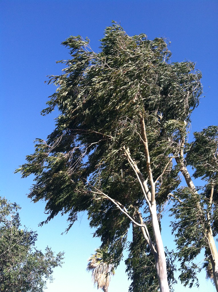 Pawfoot TrailHiking · ~10 min drivePhoto: Kitt O'Malley, CC BY 2.0 (via Flickr)
 JoplinHiking · ~6 min drivePhoto: nazotoko, CC BY 2.0 (via Flickr)
Also worth it near here
 Trabuco PeakSummit · ~4 min drivePhoto: Don Ramey Logan, CC BY-SA 4.0 (via Wikimedia Commons)
- Glen Ivy Hot SpringsHot spring · ~8 min drive
 Lazy-W-Ranch CampCamping · ~9 min drivePhoto: Orange County Archives — CC BY 2.0 (via Flickr)
 San Juan CanyonRock climbing · ~11 min drivePhoto: Ken Lund, CC BY-SA 2.0 (via Flickr)
