Lazy-W-Ranch Camp
Campground
Campground · 1.2 mi from the trail
Sitton Peak Trail is an expert-level out-and-back hike in California, about half a mile from the town of San Juan Hot Springs. The route is roughly 18 miles long, with a total elevation gain of about 4,773 feet, and it starts at a low point of about 680 feet before climbing to a high point of about 3,090 feet. The climb is front-loaded, with the steepest stretch coming within about a mile of the start, where the grade reaches about 28%. That makes the first part of the trail the most demanding, and the descent mirrors the ascent. Several other trails sit close by. Hot Springs Trail is about 0.2 miles away, San Juan Creek Trail is about half a mile off, and Cold Springs Trail is about 0.8 miles away. For climbers, the Santa Ana Mountains are about 5 miles from the trail.
Lazy-W-Ranch Camp
Campground
Jimmy's Station
Bar
Fallbrook Gem & Mineral Society
Museum
Places © OpenStreetMap contributors, Places © Overture Maps Foundation
More in Fallbrook San Juan CanyonRock climbingPhoto: Ken Lund, CC BY-SA 2.0 (via Flickr)5.5 mi
Source: Roamze catalog (indexable pages within 10 miles, PostGIS distance)
 San JuanHiking · ~2 min drivePhoto: NancyFry, CC BY 2.0 (via Flickr)
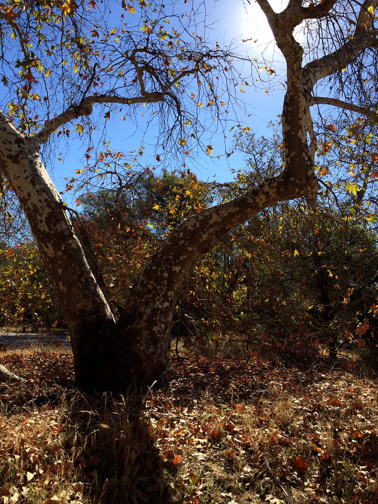 Juaneño Loop 2 TrailHiking · ~5 min drivePhoto: tinyfroglet, CC BY 2.0 (via Flickr)
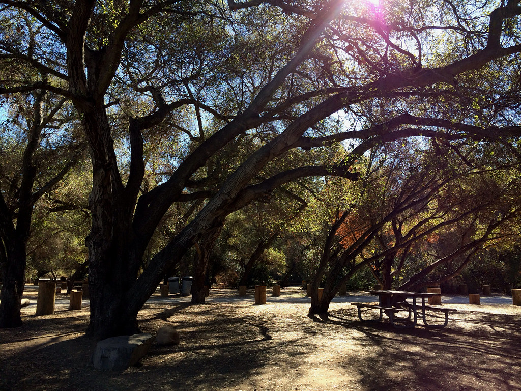 East Ridge TrailHiking · ~7 min drivePhoto: tinyfroglet, CC BY 2.0 (via Flickr)
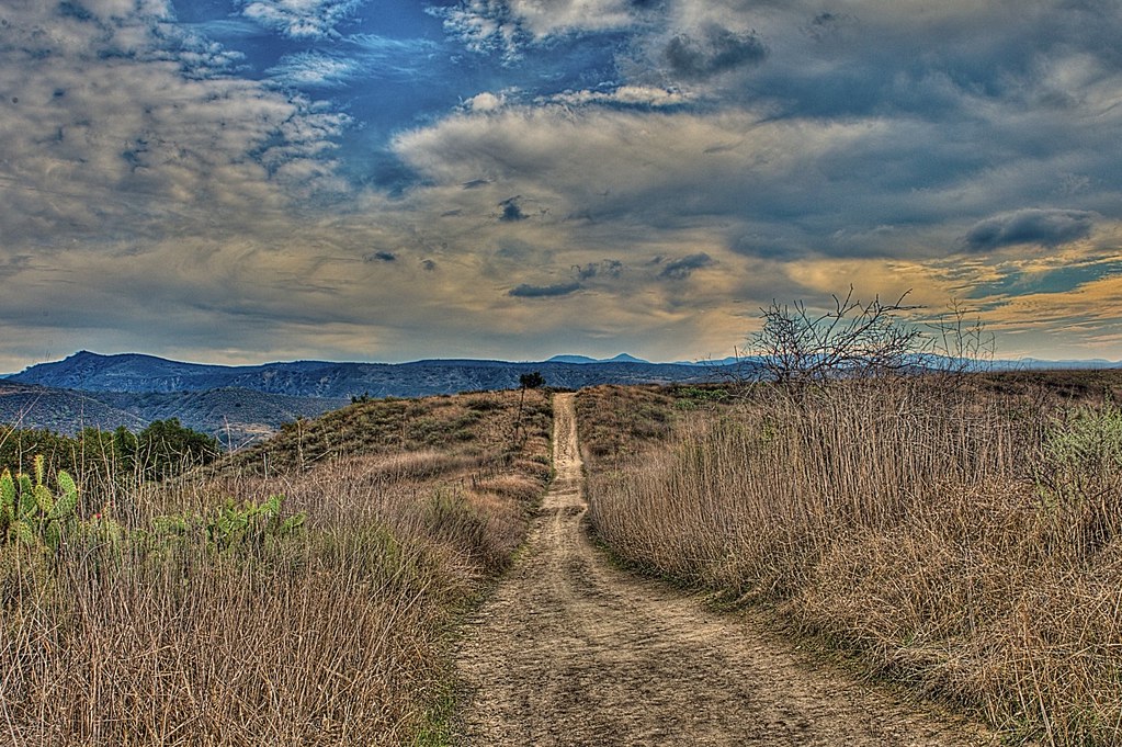 Bell View TrailHiking · ~6 min drivePhoto: stevetulk, CC BY 2.0 (via Flickr)West Ridge TrailHiking · ~7 min drivePhoto: tinyfroglet, CC BY 2.0 (via Flickr)
 Juaneño Loop 1 TrailHiking · ~6 min drivePhoto: tinyfroglet, CC BY 2.0 (via Flickr)
Also worth it near here
 Lazy-W-Ranch CampCamping · ~2 min drivePhoto: Orange County Archives — CC BY 2.0 (via Flickr)
 Fox SpringMountain biking · ~5 min drivePhoto: Jengod, CC BY 4.0 (via Wikimedia Commons)San Juan CanyonRock climbing · ~9 min drivePhoto: Ken Lund, CC BY-SA 2.0 (via Flickr)
Map and trail data © OpenStreetMap contributors
