Paso Picacho Campground
Campground
Campground · 6.3 mi from the trail
Closure in the area
There's a closure order in Cleveland National Forest. It doesn't name Three Sisters Falls, so check the source for the area it covers.
Airport Fire Burned Area Closure
Agency closure covering Cleveland National Forest · Order 02-26-09 · USFS · Cleveland National Forest
Cedar Creek Falls Visitor Use Permit Area
Agency alert covering Cleveland National Forest · Order 02-26-07 · USFS · Cleveland National Forest
Cedar Creek Falls Cliff Closure Area
Agency alert covering Cleveland National Forest · Order 02-26-06 · USFS · Cleveland National Forest
Cedar Creek Falls Alcohol Prohibition
Agency alert covering Cleveland National Forest · USFS · Cleveland National Forest
As of · Source: USFS · Cleveland National Forest. Agencies don't list every closure — check before you go.
Three Sisters Falls is an easy out-and-back hike in California's Cleveland National Forest, within the Palomar Ranger District. It covers less than a mile round trip, with a total elevation gain of about 900 feet, and the route is managed by the Forest Service. The climb is rolling, and the steepest stretch comes at about 0.3 miles, where the grade reaches 32%. The trail starts near 2,256 feet and climbs to about 2,399 feet at the high point before descending back. Spring and fall are the most comfortable times to go. Typical averages from a nearby weather station in Alpine show May highs around 74°F with lows near 51°F and October highs around 78°F, while summer runs hotter, with July and August highs near 87 to 89°F. The Three Sisters Falls Trail is about 0.8 miles away, and Eagle Peak Trail is about half a mile off. Climbers can reach Right Wall and Left Wall within about a mile and a quarter.
Paso Picacho Campground
Campground
Glen S. Wyatt Memorial Viewpoint
Viewpoint
Places © OpenStreetMap contributors, Places © Overture Maps Foundation
More in JulianNot on Roamze yet. Their page has how to reach them.
 San Diego River Gorge TrailHikingPhoto: beeron2003, CC BY-SA 2.0 (via Flickr)3 mi
Source: Roamze catalog (indexable pages within 10 miles, PostGIS distance)
San Diego River Gorge TrailHiking · ~5 min drivePhoto: beeron2003, CC BY-SA 2.0 (via Flickr) Gower Truck TrailHiking · ~7 min drivePhoto: beeron2003, CC BY-SA 2.0 (via Flickr)San Diego River Gorge TrailHiking · ~7 min drivePhoto: beeron2003, CC BY-SA 2.0 (via Flickr)
 Burnt Pine TrailHiking · ~11 min drivePhoto: danhurt, CC BY-SA 2.0 (via Flickr)
 Fire TrailHiking · ~12 min drivePhoto: BOB PERRY, CC BY 3.0 (via Wikimedia Commons)
 West Mesa TrailHiking · ~11 min drivePhoto: GaryGnu, CC BY 2.0 (via Flickr)
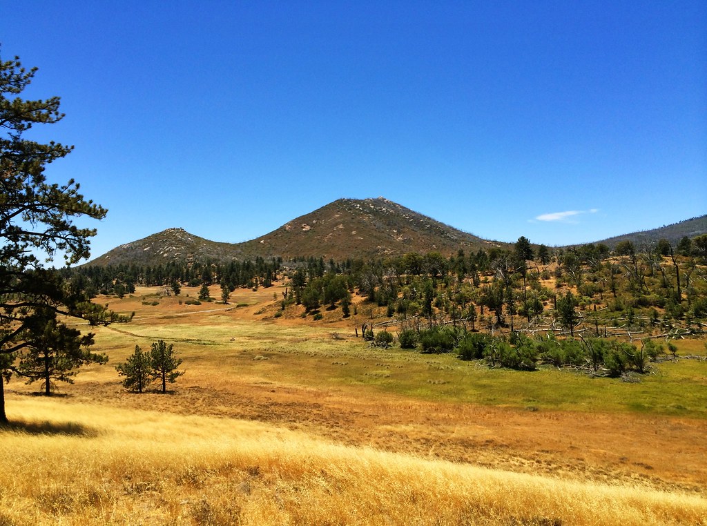 Marty Minshall trailHiking · ~12 min drivePhoto: elemenous, CC BY-SA 2.0 (via Flickr)Marty Minshall TrailHiking · ~12 min drivePhoto: elemenous, CC BY-SA 2.0 (via Flickr)
Best months: October–June. Best months have typical highs of 55–85 °F, lows of 30 °F or warmer (32 °F where the station doesn't record snow), at most one snowy day and no more than 12 wet days.
Jan
64° / 42°
6 wet
Feb
64° / 42°
7 wet
Mar
67° / 44°
6 wet
Apr
71° / 47°
4 wet
May
74° / 51°
3 wet
Jun
81° / 54°
1 wet
Jul
87° / 60°
1 wet
Aug
89° / 62°
1 wet
Sep
86° / 60°
1 wet
Oct
78° / 54°
2 wet
Nov
71° / 48°
4 wet
Dec
63° / 42°
6 wet
Typical high / low (°F) and days with rain or snow, 1991–2020. Measured at Alpine, CA, 11.1 mi away at 1,695 ft. The station sits about 700 ft lower than this place, so expect it a little cooler here. This station doesn't record snowfall. Source: NOAA NCEI U.S. Climate Normals 1991–2020.
Extreme Heat Closure Three Sisters Falls 9/9-9/10
Cleveland National Forest · Order dated September 9, 2026; seen Sep 9, 2026 → lifted Sep 10, 2026 · Forest Service
Three Sisters Closure Area
Cleveland National Forest · Order dated August 4, 2026; seen Aug 23, 2026 → lifted Sep 1, 2026 · Forest Service
Map and trail data © OpenStreetMap contributors

