The Walkable Historical Timeline
- 0.5 mi
- round trip
- 41 ft
- climb
- 281 ft
- high point
- Out and back
- route
- Oct–Jul
- best months
The Walkable Historical Timeline is a short out-and-back trail in California covering 0.94 miles with 41 feet of elevation gain. The trail returns via the same path it went out on.
 Sunset Point TrailHiking · ~8 min drivePhoto: mutovkin, CC BY 2.0 (via Flickr)
- Quail TrailHiking · ~6 min drive
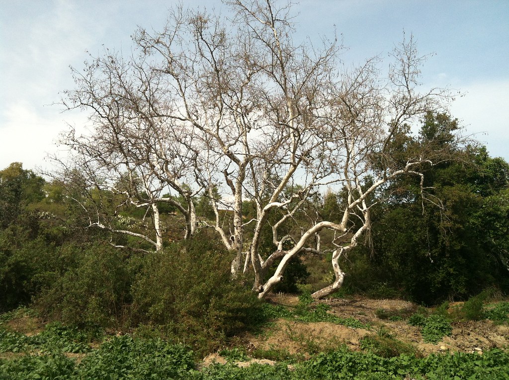 Aliso Creek Riding and Hiking TrailHiking · ~9 min drivePhoto: Kitt O'Malley, CC BY 2.0 (via Flickr)
- West Canyon TrailHiking · ~6 min drive
- Jeffrey Open Space TrailHiking · ~4 min drive
- Stagecoach South TrailHiking · ~8 min drive
- Jogging TrailHiking · ~4 min drive
- Serrano Creek TrailHiking · ~4 min drive
- Jeffrey Open Space TrailHiking · ~5 min drive
- Quail Hill Loop TrailHiking · ~5 min drive
Also worth it near here
Best time to visit The Walkable Historical Timeline
Best months: October–July. Best months have typical highs of 55–85 °F, lows of 30 °F or warmer (32 °F where the station doesn't record snow), at most one snowy day and no more than 12 wet days.
Jan
68° / 43°
6 wet
Feb
69° / 45°
6 wet
Mar
72° / 48°
5 wet
Apr
74° / 50°
3 wet
May
77° / 55°
2 wet
Jun
80° / 58°
0 wet
Jul
85° / 61°
0 wet
Aug
87° / 63°
0 wet
Sep
87° / 61°
0 wet
Oct
84° / 55°
1 wet
Nov
76° / 47°
3 wet
Dec
70° / 43°
5 wet
Typical high / low (°F) and days with rain or snow, 1991–2020. Measured at Tustin Irvine Rch, CA, 2.1 mi away at 235 ft. Source: NOAA NCEI U.S. Climate Normals 1991–2020.
Map and trail data © OpenStreetMap contributors
