Stagecoach South Trail
- 3.2 mi
- round trip
- 1,327 ft
- climb
- 627 ft
- high point
- Out and back
- route
- Oct–Jun
- best months
Stagecoach South Trail is a 3.2-mile moderate hike in Laguna Coast Wilderness Park, on county land in California. The trail is an out-and-back with a steady climb, and the round trip adds up to about 6.4 miles with a total elevation gain of 1,327 feet. The high point is 627 feet, and the steepest stretch comes at about 2 miles in, with a grade of 13 percent. Spring and fall are the most comfortable times to go. Typical averages from a nearby weather station show April highs around 76°F and October highs around 84°F, while July and August average in the upper 80s to 90s. The trail starts close to several other routes. Little Sycamore Canyon Trail and Stagecoach North Trail are each about 0.1 mile away, and Gravel Trail is about 0.2 mile off. Climbers can find Laguna Beach about 5 miles away.
- Little Sycamore Canyon TrailHiking0.1 mi
- Stagecoach North TrailHiking0.1 mi
- Gravel TrailHiking0.2 mi
- Sunflower TrailHiking0.6 mi
- Laguna BeachRock climbing5 mi
- Parking Lot BouldersRock climbing6.7 mi
- Pirate's Cove (aka The Beach or Corona Del Mar)Rock climbing6.7 mi
- Corona Del MarRock climbing6.7 mi
Source: Roamze catalog (indexable pages within 10 miles, PostGIS distance)
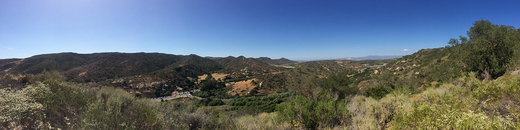 Laurel Canyon TrailHiking · ~3 min drivePhoto: sergei.gussev, CC BY 2.0 (via Flickr)
- West Canyon TrailHiking · ~2 min drive
- Stair Steps TrailHiking · ~3 min drivePhoto: sergei.gussev, CC BY 2.0 (via Flickr)
- Lizard TrailHiking · ~2 min drive
 Cholla TrailHiking · ~4 min drivePhoto: sergei.gussev, CC BY 2.0 (via Flickr)
- Serrano Ridge TrailHiking · ~2 min drive
 Lynx TrailHiking · ~4 min drivePhoto: sergei.gussev, CC BY 2.0 (via Flickr)
- Quail TrailHiking · ~4 min drive
- Rock-It TrailHiking · ~4 min drivePhoto: sergei.gussev, CC BY 2.0 (via Flickr)
 Old Emerald Falls TrailHiking · ~4 min drivePhoto: rmceoin, CC BY 2.0 (via Flickr)
Best time to visit Stagecoach South Trail
Best months: October–June. Best months have typical highs of 55–85 °F, lows of 30 °F or warmer (32 °F where the station doesn't record snow), at most one snowy day and no more than 12 wet days.
Jan
69° / 49°
4 wet
Feb
70° / 48°
4 wet
Mar
73° / 50°
3 wet
Apr
76° / 52°
2 wet
May
79° / 56°
2 wet
Jun
82° / 59°
0 wet
Jul
88° / 62°
0 wet
Aug
90° / 62°
0 wet
Sep
89° / 62°
1 wet
Oct
84° / 58°
2 wet
Nov
76° / 53°
2 wet
Dec
68° / 48°
4 wet
Typical high / low (°F) and days with rain or snow, 1991–2020. Measured at Irvine Rch, CA, 8.1 mi away at 540 ft. This station doesn't record snowfall. Source: NOAA NCEI U.S. Climate Normals 1991–2020.
Map and trail data © OpenStreetMap contributors
