The Mystery Spot Hiking Trail
 Photo: Melissa Clark, CC BY 2.0 (via Wikimedia Commons)
- 0.5 mi
- loop
- 187 ft
- climb
- 405 ft
- high point
- Loop
- route
- Jan–Dec
- best months
Clear at last check
Weather is good · OpenWeather · checked 12 h ago
The Mystery Spot Hiking Trail is a short, easy loop in California, about 1.2 miles from the town of Beulah Park. The trail is 0.54 miles long, with a total elevation gain of 187 feet, and it makes a steady climb from a starting point around 342 feet to a high of 405 feet before returning to the start. The steepest stretch comes early, at about 0.11 miles in, with a grade of 12 percent. Late summer into early fall is the most comfortable time to go. Typical averages from a nearby weather station in Santa Cruz show September highs around 77°F with only about one wet day, while winter brings highs in the low 60s and roughly 10 wet days a month. Several other outings sit close by. Branciforte Creek Trail is 0.8 miles away and La Corona Trail is about a mile off. Climbers can head to Order of the Moose Wall, about 1.3 miles away, and the Redwood Lower Loop is a similar distance.
- Branciforte Creek TrailHikingPhoto: Melissa Clark, CC BY 2.0 (via Wikimedia Commons)0.8 mi
- La Corona TrailHikingPhoto: Melissa Clark, CC BY 2.0 (via Wikimedia Commons)1 mi
- Order of the Moose WallRock climbing1.3 mi
- Redwood Lower LoopHiking1.3 mi
- Garden of Eden BoulderingRock climbing3.1 mi
- Garden of EdenRock climbing3.1 mi
- Soquel CreekCanoeing5.5 mi
- Zayante CreekCanoeing5.8 mi
Source: Roamze catalog (indexable pages within 10 miles, PostGIS distance)
- Branciforte Creek TrailHiking · ~1 min drivePhoto: Melissa Clark, CC BY 2.0 (via Wikimedia Commons)
- La Corona TrailHiking · ~2 min drivePhoto: Melissa Clark, CC BY 2.0 (via Wikimedia Commons)
 Old Vineyard Trail (East)Hiking · ~3 min drivePhoto: gracewardphotographynyc, CC BY 2.0 (via Flickr)
 River TrailHiking · ~5 min drivePhoto: BoltSnypr, CC BY 3.0 (via Wikimedia Commons)
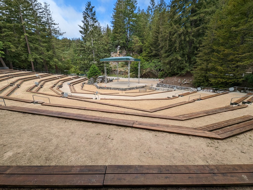 Emma McCrary TrailHiking · ~4 min drivePhoto: mliu92, CC BY-SA 2.0 (via Flickr)
 Bear Mountain TrailHiking · ~6 min drivePhoto: mutovkin, CC BY 2.0 (via Flickr)
 Pogonip Creek Nature LoopHiking · ~5 min drivePhoto: Arbron, CC BY 2.0 (via Flickr)
- Enchanted TrailHiking · ~3 min drive
- Prairie TrailHiking · ~5 min drivePhoto: mliu92, CC BY-SA 2.0 (via Flickr)
- Spring TrailHiking · ~6 min drive
Best time to visit The Mystery Spot Hiking Trail
Best months: Year-round. Best months have typical highs of 55–85 °F, lows of 30 °F or warmer (32 °F where the station doesn't record snow), at most one snowy day and no more than 12 wet days.
Jan
63° / 41°
11 wet
Feb
64° / 43°
10 wet
Mar
67° / 44°
10 wet
Apr
69° / 46°
6 wet
May
71° / 49°
3 wet
Jun
74° / 52°
1 wet
Jul
74° / 54°
1 wet
Aug
76° / 55°
1 wet
Sep
77° / 53°
1 wet
Oct
74° / 50°
4 wet
Nov
67° / 44°
7 wet
Dec
61° / 41°
10 wet
Typical high / low (°F) and days with rain or snow, 1991–2020. Measured at Santa Cruz, CA, 2.1 mi away at 70 ft. Source: NOAA NCEI U.S. Climate Normals 1991–2020.
Map and trail data © OpenStreetMap contributors
