Sweetwater Park Trail
- 0.8 mi
- round trip
- 53 ft
- climb
- 61 ft
- high point
- Out and back
- route
- Jan–Dec
- best months
Sweetwater Park Trail is a short, easy walk of about 1.6 miles in Sweetwater Summit Regional Park, on county land in California. It's a flat, out-and-back route that gains about 31 feet from the start, with the high point at 61 feet and the low at 44 feet. The trail is well suited to a quick outing, and the whole trip takes about half an hour. The most comfortable time to visit is summer, when typical highs reach the mid-70s in July and August and there are almost no wet days, based on averages from a nearby weather station in Chula Vista. Winter stays mild, with typical highs around 67 degrees and lows in the mid-40s. Rice Canyon Trail is about 1.4 miles away, and Snake Trail is about 1.7 miles away. Climbers can find the Bonita climbing area about 3.9 miles off, and Aztec Creek is about 8.9 miles away.
Local outfitters
- Hike Bike Kayak Adventure Tours18 mi away
Not on Roamze yet. Their page has how to reach them.
- Rice Canyon TrailHiking1.4 mi
- Snake TrailHiking1.7 mi
- SDG&E Utility Access PathHiking1.8 mi
- Quarry TrailHiking3.7 mi
- BonitaRock climbing3.9 mi
- Aztec CreekRock climbing8.9 mi
- Otay MesaRock climbing9.3 mi
Source: Roamze catalog (indexable pages within 10 miles, PostGIS distance)
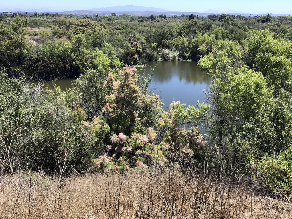 P.E.R.L. Loop TrailHiking · ~12 min drivePhoto: gary_leavens, CC BY-SA 2.0 (via Flickr)
- North Beach TrailHiking · ~13 min drivePhoto: gary_leavens, CC BY-SA 2.0 (via Flickr)
- Otay Mountain Truck TrailHiking · ~16 min drive
 Visitor Center TrailHiking · ~12 min drivePhoto: sergei.gussev, CC BY 2.0 (via Flickr)
- Spooners Mesa TrailHiking · ~13 min drivePhoto: gary_leavens, CC BY-SA 2.0 (via Flickr)
- River Mouth LoopHiking · ~13 min drivePhoto: sergei.gussev, CC BY 2.0 (via Flickr)
- Rock House TrailHiking · ~9 min drive
- Marsh Spur TrailHiking · ~13 min drivePhoto: gary_leavens, CC BY-SA 2.0 (via Flickr)
- San Miguel Mountain TrailHiking · ~13 min drive
- Amsod Farm TrailHiking · ~13 min drivePhoto: gary_leavens, CC BY-SA 2.0 (via Flickr)
Best time to visit Sweetwater Park Trail
Best months: Year-round. Best months have typical highs of 55–85 °F, lows of 30 °F or warmer (32 °F where the station doesn't record snow), at most one snowy day and no more than 12 wet days.
Jan
67° / 47°
5 wet
Feb
67° / 48°
6 wet
Mar
67° / 51°
5 wet
Apr
68° / 53°
3 wet
May
69° / 58°
1 wet
Jun
71° / 61°
1 wet
Jul
75° / 65°
0 wet
Aug
77° / 66°
0 wet
Sep
77° / 64°
1 wet
Oct
75° / 58°
1 wet
Nov
71° / 51°
3 wet
Dec
67° / 46°
5 wet
Typical high / low (°F) and days with rain or snow, 1991–2020. Measured at Chula Vista, CA, 1.8 mi away at 56 ft. Source: NOAA NCEI U.S. Climate Normals 1991–2020.
Map and trail data © OpenStreetMap contributors
