Buckeye Flats Campground
Campground
Campground · 3.0 mi from the trail
No closures listed
The National Park Service lists no closures for Sequoia National Park.
As of · Source: NPS · Sequoia National Park. Agencies don't list every closure — check before you go.
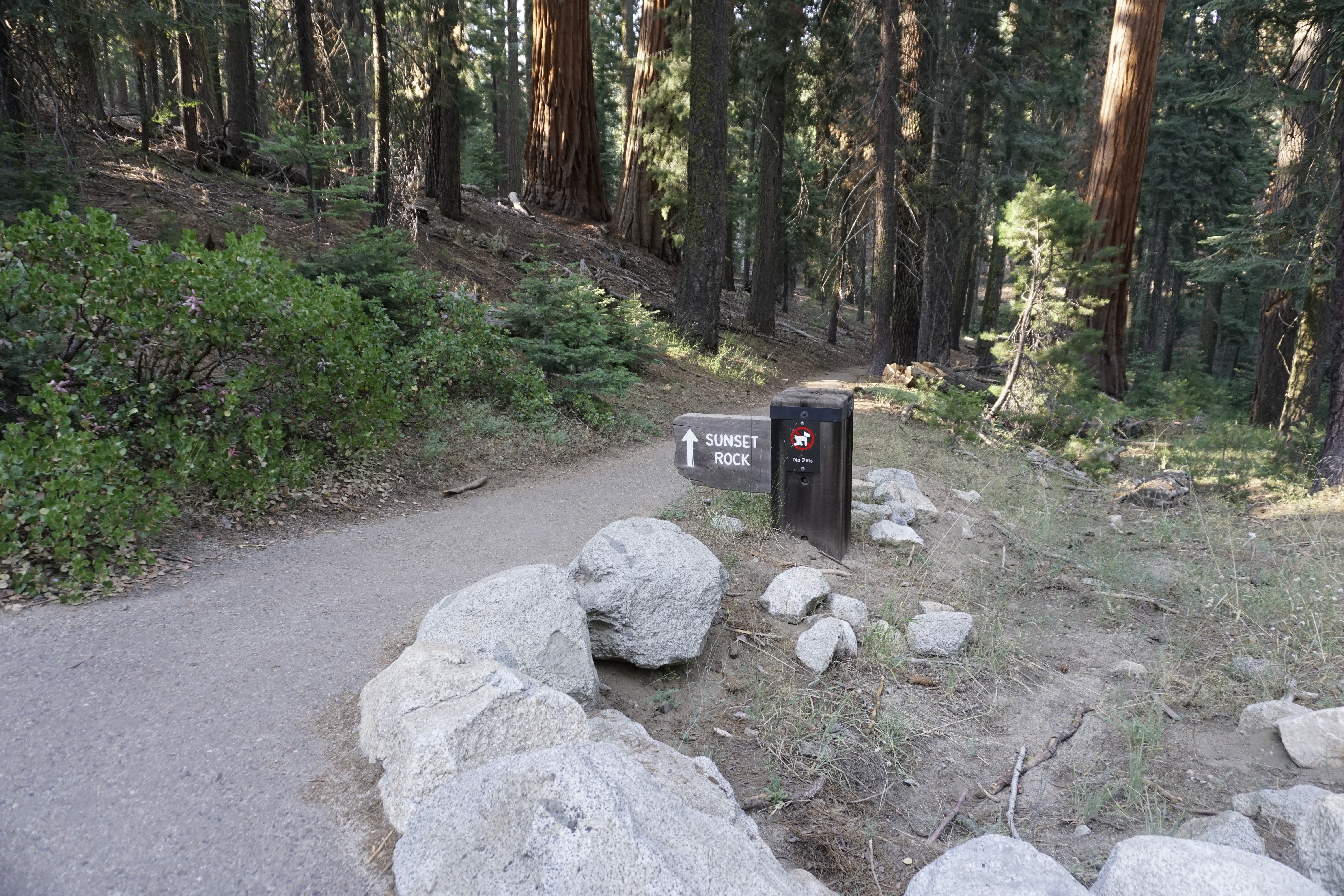
The trail to Sunset Rock offers a great path for wandering through the Giant Forest, even if you only go a short way. Peaceful spots along the way provide spots to relax. Families with small children may enjoy spending time here. If you go all the way to Sunset Rock, you'll be rewarded with views that extend into the foothills and beyond.
Buckeye Flats Campground
Campground
 If it rainsDavid Fulmer, CC BY 2.0 · Wikimedia Commons
Giant Forest Museum
Museum
Places © OpenStreetMap contributors · Photos: David Fulmer, CC BY 2.0 (commons)
More in Silver CityNot on Roamze yet. Their page has how to reach them.
Best months: June–October. Best months have typical highs of 55–85 °F, lows of 30 °F or warmer (32 °F where the station doesn't record snow), at most one snowy day and no more than 12 wet days.
Jan
39° / 17°
9 wet · 8 snow
Feb
41° / 18°
10 wet · 8 snow
Mar
45° / 22°
10 wet · 8 snow
Apr
50° / 26°
8 wet · 5 snow
May
58° / 33°
5 wet · 2 snow
Jun
68° / 40°
3 wet
Jul
76° / 46°
2 wet
Aug
76° / 44°
2 wet
Sep
70° / 39°
2 wet
Oct
59° / 31°
4 wet · 1 snow
Nov
47° / 23°
6 wet · 4 snow
Dec
37° / 17°
8 wet · 6 snow
Typical high / low (°F) and days with rain or snow, 1991–2020. Measured at Lodgepole, CA, 3.5 mi away at 6,735 ft. Source: NOAA NCEI U.S. Climate Normals 1991–2020.
HIKE
Giant Forest Museum Trail Center
Next door
Trails from here can lead you past the giant trees and lush meadows in this sequoia grove, whether you are an experienced hiker who wants to see miles of the parks or you would just like a gentle half-hour walk. Trails in this area can be confusing. We recommend purchasing a…
 Photo: Harald Hoyer from Schwerin, Germany, CC BY-SA 2.0 (via Wikimedia Commons)
Big Trees
Next door
0.60-mile loop trail in California with 33 ft elevation gain.
 Photo: Juhele_CZ, Public Domain Dedication (CC0) (via Flickr)
Crescent Mdw-Bearpaw
~3 min drive
10.77-mile out-and-back trail in California with 1,995 ft elevation gain
HIKE
How's the View?
Next door
This wayside exhibit, titled "How's the View?," shows the weather patterns that cause pollution in the valley.
 Photo: Dennis Heller, CC BY 2.0 (via Flickr)
Beetle Rock
Next door
0.53-mile out-and-back trail in California with 11 ft elevation gain.
HIKE
Hot Spots
Next door
This wayside exhibit, titled "Hot Spots," shows how fire helps giant sequoias grow.
 Photo: KELE118, CC BY 3.0 (via Wikimedia Commons)
Bear Hill
Next door
1.61-mile out-and-back trail in California with 287 ft gain and 6,679 ft max elevation.
HIKE
Inheritance
Next door
This outdoor exhibit, titled "Inheritance," shows why fallen trees create good conditions for sequoias to thrive.
Photo: KELE118, CC BY 3.0 (via Wikimedia Commons)Old Bear Hill Road
Next door
0.84-mile out-and-back trail in California with 190 ft elevation gain.
HIKE
Just Enough Soil
Next door
This wayside exhibit, titled "Just Enough Soil," shows why sequoias have shallow roots.
Season: Summer, fall.
About 0.8 mi round trip.
About 55 ft of climbing round trip.
It is rated easy.
Summer, fall.
Daily highs and lows, wind and the chance of precipitation at the summit and route start for the next 7 days, from the Open-Meteo model.

