Wooded Hill Group
Campground
Campground · 1.8 mi from the trail
Caution at last check
Agency alerts are in effect for this area; weather is good · USFS, OpenWeather · checked 12 h ago
Closure in the area
There's a closure order in Cleveland National Forest. It doesn't name Sunset, so check the source for the area it covers.
Airport Fire Burned Area Closure
Agency closure covering Cleveland National Forest · Order 02-26-09 · USFS · Cleveland National Forest
Cedar Creek Falls Visitor Use Permit Area
Agency alert covering Cleveland National Forest · Order 02-26-07 · USFS · Cleveland National Forest
Cedar Creek Falls Cliff Closure Area
Agency alert covering Cleveland National Forest · Order 02-26-06 · USFS · Cleveland National Forest
Cedar Creek Falls Alcohol Prohibition
Agency alert covering Cleveland National Forest · USFS · Cleveland National Forest
As of · Source: USFS · Cleveland National Forest. Agencies don't list every closure — check before you go.
Sunset is a hard hike in the Descanso Ranger District of Cleveland National Forest in California, managed by the Forest Service. The route is an out-and-back of about 8 miles, with a total elevation gain of 583 feet, taking you from a low point of about 5,360 feet to a high of about 5,745 feet. The trail is natural-surfaced and allows both horses and bikes, so it works for riders and pack animals as well as hikers. It stays open year-round, and the surrounding area has several other trails within a mile, including the Water of the Woods Spur and the Kemp Connector. For comfortable weather, late spring and early fall are the sweet spots. Typical averages from a nearby weather station at Mt Laguna show May highs around 68°F and October highs around 67°F, with July peaking near 83°F. Camping is close by at Wooded Hill Group and El Prado Group, both about 1.8 miles away. Climbers can head to Cottonwood Giants, roughly 8 miles off.
Wooded Hill Group
Campground
Cuyamaca Rancho Park Museum and Area Headquarters
Museum
Places © OpenStreetMap contributors
More in JulianNot on Roamze yet. Their page has how to reach them.
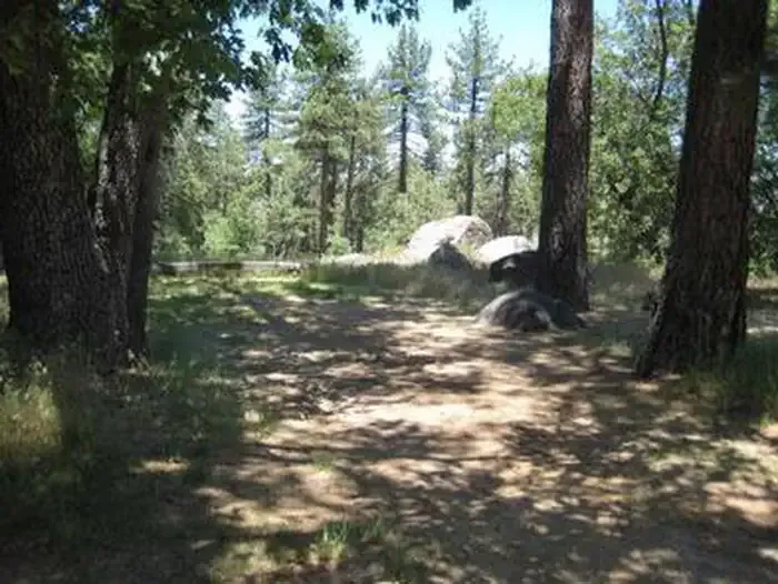 Wooded Hill GroupCampingPhoto: Recreation.gov (RIDB) / public domain1.8 mi
 El Prado GroupCampingPhoto: Recreation.gov (RIDB) / public domain1.8 mi
 LagunaCampingPhoto: Recreation.gov (RIDB) / public domain2 mi
 Upper TierRock climbingPhoto: Waifer X, CC BY 2.0 (via Flickr)9.3 mi
Source: Roamze catalog (indexable pages within 10 miles, PostGIS distance)
 Chico Ravine TrailHiking · ~1 min drivePhoto: danhurt, CC BY-SA 2.0 (via Flickr)
 REDTAIL ROOST LOOP SPURHiking · ~3 min drivePhoto: Jacob Reyes, CC BY 2.0 (via Flickr)
 Monument PeakHiking · ~4 min drivePhoto: danhurt, CC BY-SA 2.0 (via Flickr)
 Meadow Spur TrailHiking · ~2 min drivePhoto: MossRacy, CC BY-SA 2.0 (via Flickr)
 Secret Canyon TrailHiking · ~8 min drivePhoto: lovebycycle, CC BY 2.0 (via Flickr)
 Big LagunaHiking · ~5 min drivePhoto: gabofr, CC BY 2.0 (via Flickr)
 Kemp Spur TrailHiking · ~2 min drivePhoto: BOB PERRY, CC BY 3.0 (via Wikimedia Commons)
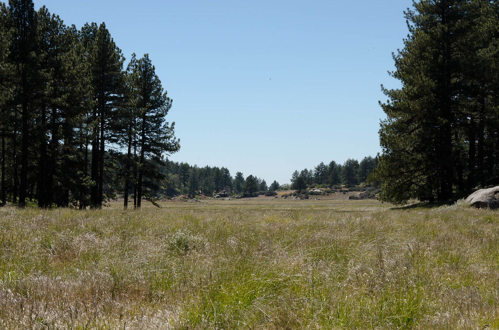 Agua Dulce TrailHiking · ~2 min drivePhoto: danhurt, CC BY-SA 2.0 (via Flickr)
Best months: April–November. Best months have typical highs of 55–85 °F, lows of 30 °F or warmer (32 °F where the station doesn't record snow), at most one snowy day and no more than 12 wet days.
Jan
50° / 33°
Feb
50° / 34°
Mar
54° / 36°
Apr
61° / 40°
May
68° / 46°
Jun
78° / 53°
Jul
83° / 60°
Aug
82° / 58°
Sep
76° / 54°
Oct
67° / 45°
Nov
57° / 38°
Dec
51° / 34°
Typical high / low (°F) and days with rain or snow, 1991–2020. Measured at Mt Laguna #3, CA, 2.5 mi away at 5,920 ft. This station doesn't record snowfall. Source: NOAA NCEI U.S. Climate Normals 1991–2020.

