Sunol Ridge Trail
- 2.3 mi
- round trip
- 803 ft
- climb
- 1,801 ft
- high point
- Out and back
- route
- Feb–Nov
- best months
Sunol Ridge Trail is an easy out-and-back hike in Pleasanton Ridge Regional Park, a regional agency land unit in California. The trail is about 4.5 miles long, with a total elevation gain of 803 feet, and it reaches a high point of 1,801 feet. The route starts at an elevation of 1,775 feet and ends at the same level, so the climb is steady and the trail is roughly twice the distance of the 2.26 miles listed in the place's stats. The most comfortable months for a visit are typically late spring and early fall. Typical averages from a nearby weather station at Mt Diablo Junction show May highs around 68°F and October highs around 72°F, with only a few wet days in each. Summer runs warmer, with July and August highs in the low 80s. The trip takes about two hours. Shady Creek Trail is about 0.6 miles away, Turtle Pond Trail about 0.9 miles, and Mariposa Trail about a mile. For paddling, Arroyo de la Laguna is about 3.9 miles away.
- Shady Creek TrailHiking0.6 mi
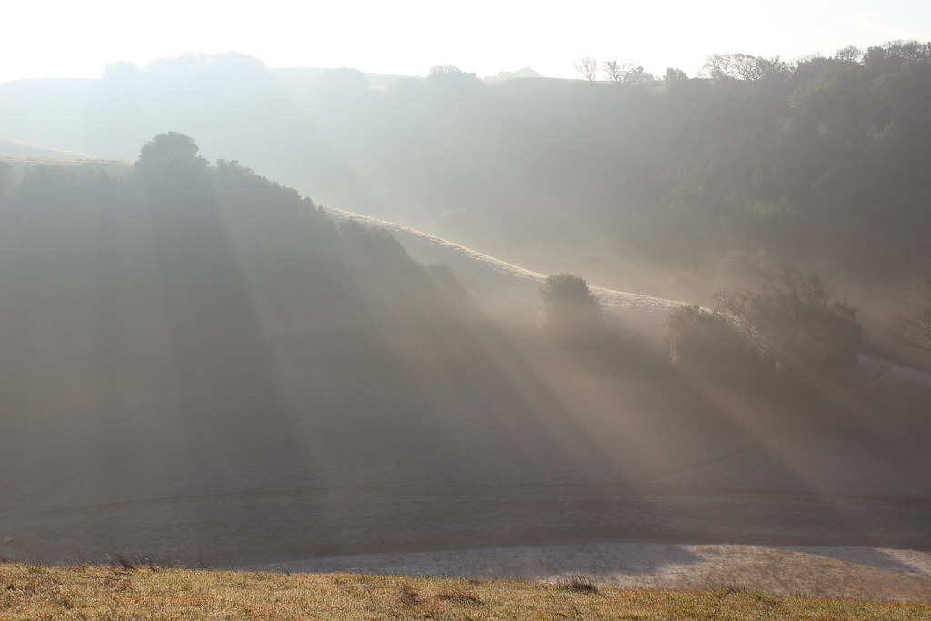 Turtle Pond TrailHikingPhoto: DreamSailors, CC BY 2.0 (via Flickr)0.9 mi
- Mariposa TrailHikingPhoto: DreamSailors, CC BY 2.0 (via Flickr)1 mi
- Bay Leaf TrailHiking1.2 mi
- Schuhart TrailHiking1.4 mi
- Ridgeline TrailHiking1.4 mi
- Sinbad Creek TrailHiking1.9 mi
 Arroyo de la LagunaCanoeingPhoto: Alameda County Resource Conservation District, CC BY-SA 4.0 (via Wikimedia Commons)3.9 mi
Source: Roamze catalog (indexable pages within 10 miles, PostGIS distance)
- Turtle Pond TrailHiking · ~2 min drivePhoto: DreamSailors, CC BY 2.0 (via Flickr)
 Tolman Peak TrailHiking · ~6 min drivePhoto: Pussreboots, CC BY 2.0 (via Flickr)
- Ridgeline TrailHiking · ~2 min drive
- Mariposa TrailHiking · ~2 min drivePhoto: DreamSailors, CC BY 2.0 (via Flickr)
- Bay Leaf TrailHiking · ~2 min drive
- Courdet TrailHiking · ~4 min drive
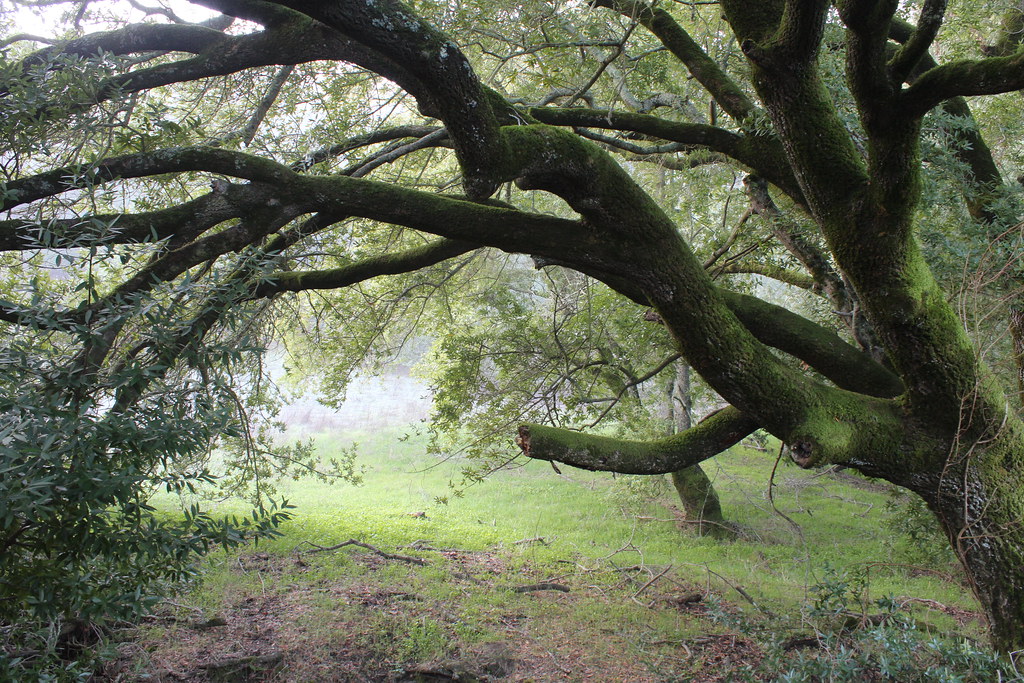 Loop TrailHiking · ~2 min drivePhoto: DreamSailors, CC BY 2.0 (via Flickr)
- Sinbad Creek TrailHiking · ~3 min drive
- Valley View TrailHiking · ~4 min drive
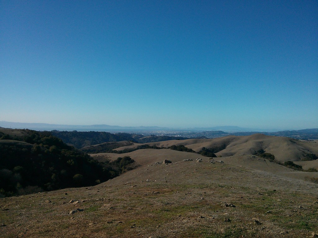 Cowing TrailHiking · ~4 min drivePhoto: lumachrome, CC BY-SA 2.0 (via Flickr)
Best time to visit Sunol Ridge Trail
Best months: February–November. Best months have typical highs of 55–85 °F, lows of 30 °F or warmer (32 °F where the station doesn't record snow), at most one snowy day and no more than 12 wet days.
Jan
54° / 42°
11 wet
Feb
55° / 42°
11 wet
Mar
58° / 43°
10 wet
Apr
62° / 44°
7 wet
May
68° / 49°
4 wet
Jun
76° / 55°
1 wet
Jul
82° / 62°
1 wet
Aug
83° / 61°
0 wet
Sep
80° / 60°
1 wet
Oct
72° / 54°
4 wet
Nov
60° / 46°
7 wet
Dec
53° / 41°
11 wet
Typical high / low (°F) and days with rain or snow, 1991–2020. Measured at Mt Diablo Junction, CA, 15.8 mi away at 2,170 ft. Source: NOAA NCEI U.S. Climate Normals 1991–2020.
Map and trail data © OpenStreetMap contributors
