Courdet Trail
- 2.0 mi
- round trip
- 2,659 ft
- climb
- 1,392 ft
- high point
- Out and back
- route
- Oct–Jun
- best months
Courdet Trail is a 3.98-mile out-and-back hike in California with 2,659 feet of elevation gain and loss. The trail reaches a maximum elevation of 1,392 feet.
- Ridgeline TrailHiking0.7 mi
- Schuhart TrailHiking0.7 mi
- Longview TrailHiking1.2 mi
- Bay Leaf TrailHiking1.4 mi
- Shady Creek TrailHiking1.5 mi
- Moller Ranch TrailHiking1.5 mi
- Valley View TrailHiking1.5 mi
 Arroyo de la LagunaCanoeingPhoto: Alameda County Resource Conservation District, CC BY-SA 4.0 (via Wikimedia Commons)3 mi
Source: Roamze catalog (indexable pages within 10 miles, PostGIS distance)
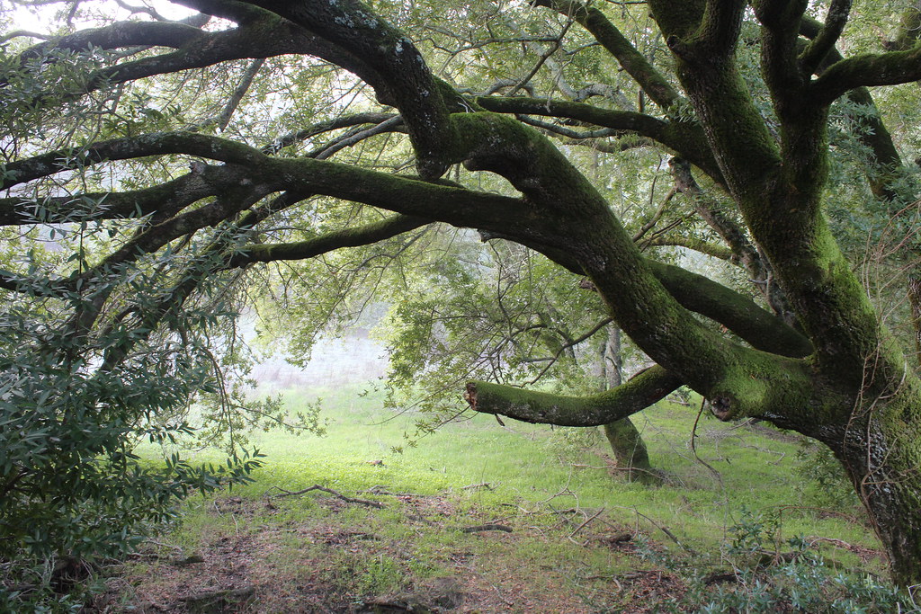 Loop TrailHiking · ~2 min drivePhoto: DreamSailors, CC BY 2.0 (via Flickr)
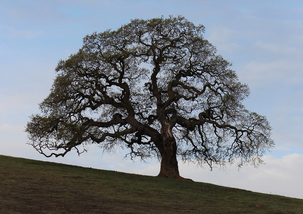 Callippe Preserve TrailHiking · ~6 min drivePhoto: DreamSailors, CC BY 2.0 (via Flickr)
- Ridgeline TrailHiking · ~1 min drive
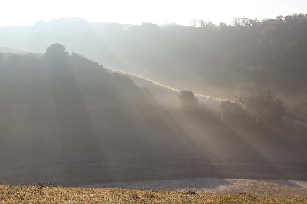 Turtle Pond TrailHiking · ~3 min drivePhoto: DreamSailors, CC BY 2.0 (via Flickr)
- Bay Leaf TrailHiking · ~2 min drive
- Valley View TrailHiking · ~3 min drive
- Mariposa TrailHiking · ~3 min drivePhoto: DreamSailors, CC BY 2.0 (via Flickr)
- Sinbad Creek TrailHiking · ~3 min drive
- Bay Valley View TrailHiking · ~6 min drive
 Lying Stump Shortcut TrailHiking · ~3 min drivePhoto: Doug Letterman, CC BY 2.0 (via Flickr)
Best time to visit Courdet Trail
Best months: October–June. Best months have typical highs of 55–85 °F, lows of 30 °F or warmer (32 °F where the station doesn't record snow), at most one snowy day and no more than 12 wet days.
Jan
57° / 39°
Feb
61° / 41°
Mar
66° / 43°
Apr
71° / 46°
May
77° / 50°
Jun
84° / 54°
Jul
89° / 57°
Aug
89° / 57°
Sep
86° / 55°
Oct
77° / 50°
Nov
65° / 43°
Dec
57° / 39°
Typical high / low (°F) and days with rain or snow, 1991–2020. Measured at Livermore, CA, 5.9 mi away at 393 ft. The station sits about 1,000 ft lower than this place, so expect it a little cooler here. Source: NOAA NCEI U.S. Climate Normals 1991–2020.
Map and trail data © OpenStreetMap contributors
