Owl/Quail Group Campground
Campground
Campground · 1.2 mi from the trail
Sun Rise Trail is a short, easy hike in Ronald W. Caspers Wilderness Park, a county-managed unit in California. The trail is about half a mile long and rises roughly 270 feet from a low point of 522 feet to a high of 789 feet, making it an out-and-back route that fits easily into a day spent exploring the park. Spring and fall are the most comfortable times to go. Typical averages from a nearby weather station show April highs around 76°F and October highs around 84°F, while July and August average in the upper 80s to around 90°F. Several other trails sit close by. Star Rise Trail is about 0.6 miles away, Oso Trail about 0.8 miles, and Juaneño Trail about a mile. For climbing, Batman Boulder is roughly 7.6 miles off.
Owl/Quail Group Campground
Campground
The Hilltop Bar
Bar
Fallbrook Gem & Mineral Society
Museum
Places © OpenStreetMap contributors, Places © Overture Maps Foundation
More in Fallbrook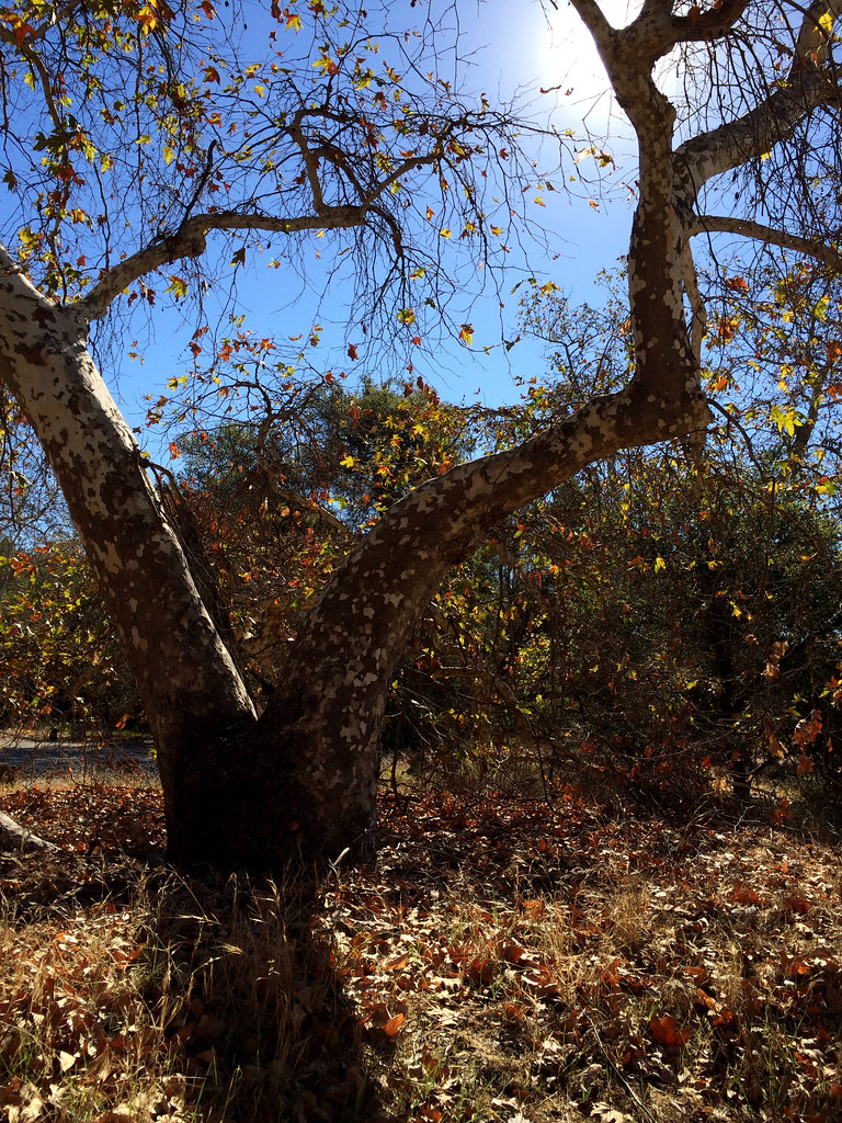 Star Rise TrailHikingPhoto: tinyfroglet, CC BY 2.0 (via Flickr)0.6 mi
Source: Roamze catalog (indexable pages within 10 miles, PostGIS distance)
Star Rise TrailHiking · ~1 min drivePhoto: tinyfroglet, CC BY 2.0 (via Flickr)West Ridge TrailHiking · ~2 min drivePhoto: tinyfroglet, CC BY 2.0 (via Flickr) San JuanHiking · ~7 min drivePhoto: NancyFry, CC BY 2.0 (via Flickr)Juaneño Loop 2 TrailHiking · ~1 min drivePhoto: tinyfroglet, CC BY 2.0 (via Flickr)
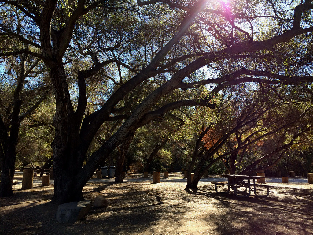 East Ridge TrailHiking · ~3 min drivePhoto: tinyfroglet, CC BY 2.0 (via Flickr)Loskorn TrailHiking · ~2 min drivePhoto: tinyfroglet, CC BY 2.0 (via Flickr)
Also worth it near here
Best months: October–June. Best months have typical highs of 55–85 °F, lows of 30 °F or warmer (32 °F where the station doesn't record snow), at most one snowy day and no more than 12 wet days.
Jan
69° / 49°
4 wet
Feb
70° / 48°
4 wet
Mar
73° / 50°
3 wet
Apr
76° / 52°
2 wet
May
79° / 56°
2 wet
Jun
82° / 59°
0 wet
Jul
88° / 62°
0 wet
Aug
90° / 62°
0 wet
Sep
89° / 62°
1 wet
Oct
84° / 58°
2 wet
Nov
76° / 53°
2 wet
Dec
68° / 48°
4 wet
Typical high / low (°F) and days with rain or snow, 1991–2020. Measured at Irvine Rch, CA, 14.2 mi away at 540 ft. This station doesn't record snowfall. Source: NOAA NCEI U.S. Climate Normals 1991–2020.
Map and trail data © OpenStreetMap contributors


