Camp Summertime
Campground
Campground · 7.5 mi from the trail
Suicide Connector Trail is a 0.88-mile hike on Regional Agency Land in California, about 0.5 miles from Suicide Trail. The route is an out-and-back that starts at 1,416 feet and climbs to 1,661 feet, with a total gain of 1,344 feet over 1.8 miles. The climb is steady, and the steepest stretch comes within the first 0.06 miles, where the grade reaches about 13%. Spring and fall are the most comfortable times to go. Typical averages from a nearby weather station show April highs around 74°F and October highs around 81°F, while July and August average in the low 90s. Several other trails sit within a short distance, including Suicide Trail, Lindero Canyon Trail and Simi Peak Trail, each about 0.6 miles away. Climbers can find Gainsborough Boulders roughly 6 miles off.
Camp Summertime
Campground
 If it rainsLos Angeles, CC BY-SA 3.0 · Wikimedia Commons
Art environment in Simi Valley, California, United States
Places © OpenStreetMap contributors, Places © Overture Maps Foundation · Photos: Los Angeles, CC BY-SA 3.0 (commons)
More in Moorpark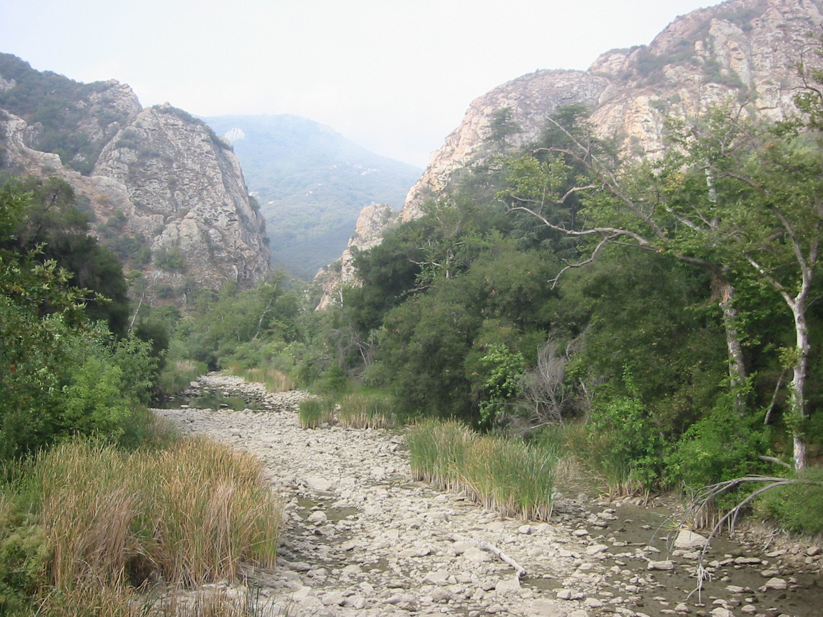 Malibu CreekCanoeingPhoto: Tobin/tobo, Rochester, NY, USA, CC BY-SA 2.0 (via Wikimedia Commons)8.2 mi
Source: Roamze catalog (indexable pages within 10 miles, PostGIS distance)
 Bus Canyon TrailHiking · ~3 min drivePhoto: freeloosedirt, CC BY-SA 2.0 (via Flickr)West Rim TrailHiking · ~3 min drivePhoto: freeloosedirt, CC BY-SA 2.0 (via Flickr)
 Meadow Vista TrailHiking · ~4 min drivePhoto: joefrogger, CC BY-SA 3.0 (via Wikimedia Commons)
Also worth it near here
Best months: October–May. Best months have typical highs of 55–85 °F, lows of 30 °F or warmer (32 °F where the station doesn't record snow), at most one snowy day and no more than 12 wet days.
Jan
63° / 47°
5 wet
Feb
65° / 45°
6 wet
Mar
70° / 47°
5 wet
Apr
74° / 49°
3 wet
May
81° / 53°
1 wet
Jun
87° / 57°
0 wet
Jul
94° / 63°
0 wet
Aug
96° / 64°
0 wet
Sep
91° / 62°
1 wet
Oct
81° / 56°
2 wet
Nov
71° / 49°
3 wet
Dec
62° / 44°
5 wet
Typical high / low (°F) and days with rain or snow, 1991–2020. Measured at Newhall 5nw, CA, 17.1 mi away at 1,765 ft. Source: NOAA NCEI U.S. Climate Normals 1991–2020.
Map and trail data © OpenStreetMap contributors
