Stony Creek
- 0.9 mi
- round trip
- 69 ft
- climb
- 500 ft
- high point
- Out and back
- route
- May–Oct
- best months
Is Stony Creek open right now?
No closures listed
The Forest Service lists no closures for Six Rivers National Forest.
As of · Source: USFS · Six Rivers National Forest. Agencies don't list every closure — check before you go.
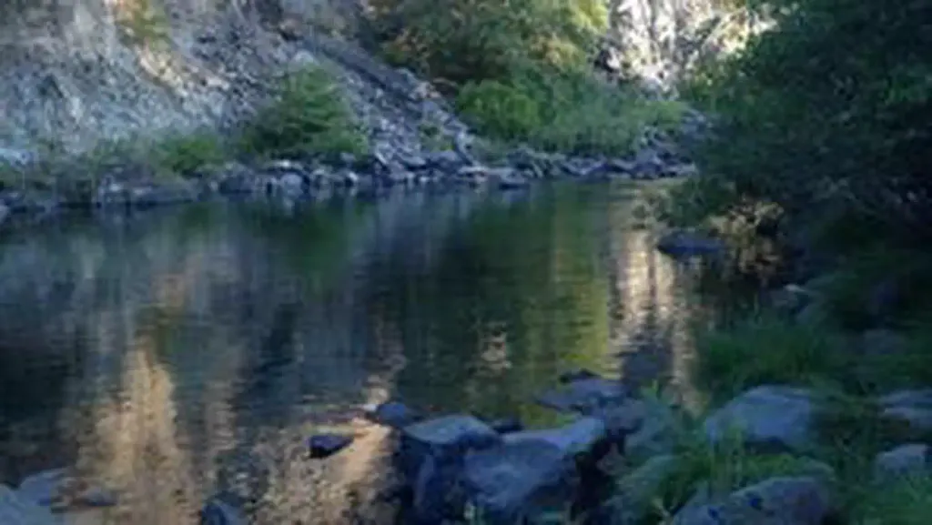
Stony Creek is an easy, short out-and-back hike of about 0.9 miles in the Gasquet Ranger District of Six Rivers National Forest in northwest California. The trail rises about 70 feet, from a low of around 400 feet to a high of about 500 feet, and it is short enough to fit into a day of exploring the surrounding forest. The route is a natural-surface path that works well for both hikers and cyclists. It is open year round, and the climb is gentle, making it a simple addition to a longer outing or a brief walk on its own. Summer and early fall are the most comfortable times to go. Typical averages from a nearby weather station in Crescent City show highs around 65 to 66°F in July and August, with only a few wet days a month, while winter brings highs in the mid-50s and rain on more than half the days. French Hill is the closest nearby hike, about 0.8 miles away, and Elk Camp Ridge lies roughly 1.9 miles off. Panther Flat Campground is about 2.1 miles away for an overnight stay, and paddlers can head to Hardscrabble Creek, about 3 miles from the trail.
Local outfitters
- Turtle Rock RV Resort43 mi away
- Applegate Trail Rides44 mi away
Not on Roamze yet. Their page has how to reach them.
- French HillHiking0.8 mi
 ELK CAMP RIDGEHikingPhoto: Tori Sloane, CC BY-SA 3.0 (via Wikimedia Commons)1.9 mi
 Panther Flat CampgroundCampingPhoto: Recreation.gov (RIDB) / public domain2.1 mi
- Hardscrabble CreekCanoeing3 mi
- Craigs CreekCanoeing3.6 mi
- Grassy Flat CampgroundCamping4.1 mi
 Smith RiverCanoeingPhoto: BigT67, CC BY-SA 3.0 (via Wikimedia Commons)4.7 mi
 Myrtle Creek TrailHikingPhoto: Ken Lund, CC BY-SA 2.0 (via Flickr)5.9 mi
Source: Roamze catalog (indexable pages within 10 miles, PostGIS distance)
- Myrtle Creek TrailHiking · ~10 min drivePhoto: Ken Lund, CC BY-SA 2.0 (via Flickr)
 Craigs Creek TrailHiking · ~10 min drivePhoto: Ken Lund, CC BY-SA 2.0 (via Flickr)
 Hatton TrailHiking · ~13 min drivePhoto: Ken Lund, CC BY-SA 2.0 (via Flickr)
- Lieffer Loop TrailHiking · ~14 min drive
- ELK CAMP RIDGEHiking · ~3 min drivePhoto: Tori Sloane, CC BY-SA 3.0 (via Wikimedia Commons)
 Wellman TrailHiking · ~12 min drivePhoto: PunkToad, CC BY 2.0 (via Flickr)
 Little Bald HillsHiking · ~16 min drivePhoto: BLUE • ǝnןq, CC BY 2.0 (via Flickr)
 Mill Creek TrailHiking · ~14 min drivePhoto: Tori Sloane, CC BY-SA 3.0 (via Wikimedia Commons)
 Adams TrailHiking · ~13 min drivePhoto: Ken Lund, CC BY-SA 2.0 (via Flickr)
- Hiouchi TrailHiking · ~12 min drive
Best time to visit Stony Creek
Best months: May–October. Best months have typical highs of 55–85 °F, lows of 30 °F or warmer (32 °F where the station doesn't record snow), at most one snowy day and no more than 12 wet days.
Jan
54° / 40°
16 wet
Feb
55° / 40°
14 wet
Mar
56° / 41°
16 wet
Apr
58° / 43°
13 wet
May
61° / 46°
9 wet
Jun
63° / 48°
5 wet
Jul
65° / 51°
3 wet
Aug
66° / 52°
3 wet
Sep
66° / 48°
4 wet
Oct
62° / 46°
9 wet
Nov
57° / 42°
15 wet
Dec
53° / 39°
17 wet
Typical high / low (°F) and days with rain or snow, 1991–2020. Measured at Crescent City 3 Nnw, CA, 13.4 mi away at 43 ft. Source: NOAA NCEI U.S. Climate Normals 1991–2020.
