Stewart Point Trail
- 1.4 mi
- round trip
- 1,997 ft
- climb
- 5,182 ft
- high point
- Out and back
- route
- Feb–May, Oct–Nov
- best months
Stewart Point Trail is a 2.8-mile out-and-back hike in California's Resting Spring Range Wilderness, managed by the Bureau of Land Management's Barstow Field Office. The trail starts at 5,182 feet and climbs to a high point of 5,182 feet, which makes the route a back-loaded climb with the steepest stretch at about 0.36 miles from the start. The total elevation gain is 1,997 feet, and the trail is rated moderate. Spring and fall are the most comfortable times to go. Typical averages from a nearby weather station show April highs around 70°F and October highs around 75°F, while July and August average in the mid-90s. That station sits about 1,400 feet lower than the trail, so temperatures on the route run cooler. The trip takes about two hours. The trail lies within the Resting Spring Range Wilderness, and the Barstow Field Office manages the surrounding land.
 Blue TrailHiking · ~23 min drivePhoto: string_bass_dave, CC BY-SA 2.0 (via Flickr)
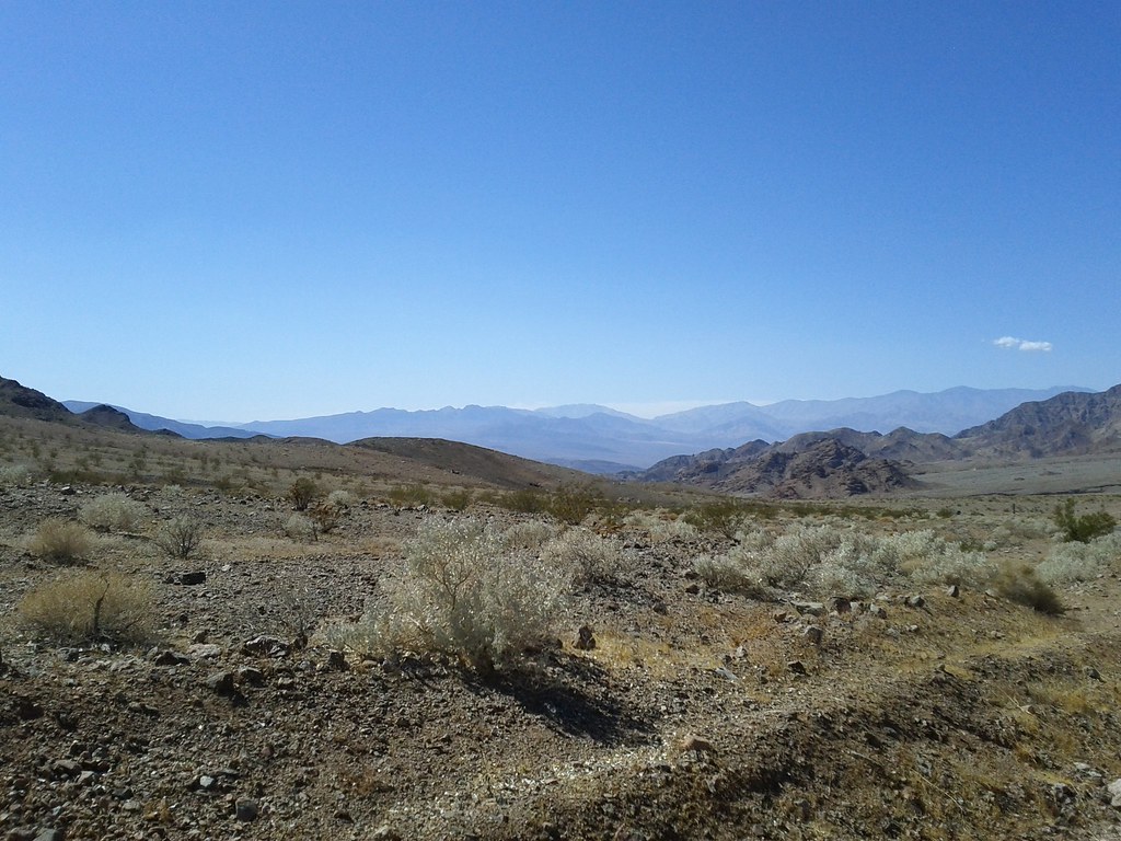 Virgin Springs CanyonHiking · ~45 min drivePhoto: Michael Voelker, CC BY 2.0 (via Flickr)
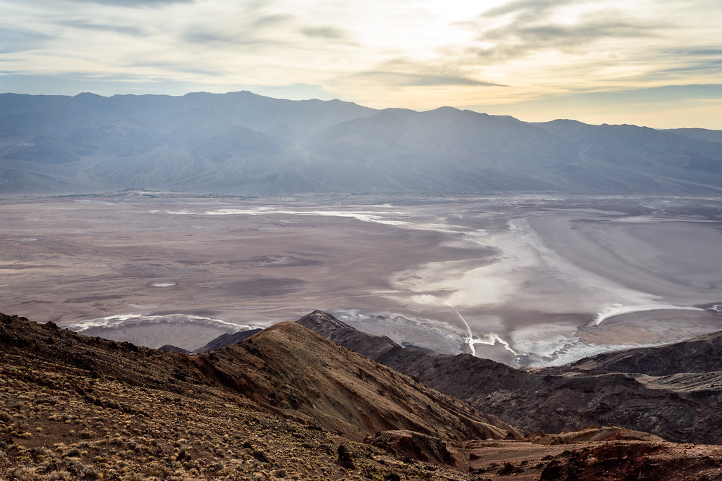 Dantes PeakHiking · ~50 min drivePhoto: dconvertini, CC BY-SA 2.0 (via Flickr)
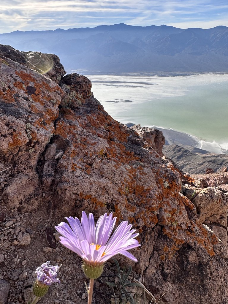 Mount PerryHiking · ~50 min drivePhoto: Seth Tisue, CC BY-SA 2.0 (via Flickr)
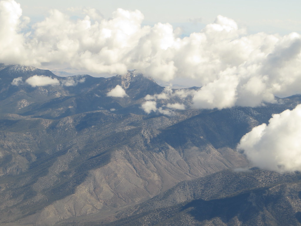 Charleston Peak Trail South LoopHiking · ~51 min drivePhoto: Ken Lund, CC BY-SA 2.0 (via Flickr)
- Shoshone Historic LoopHiking · ~24 min drivePhoto: string_bass_dave, CC BY-SA 2.0 (via Flickr)
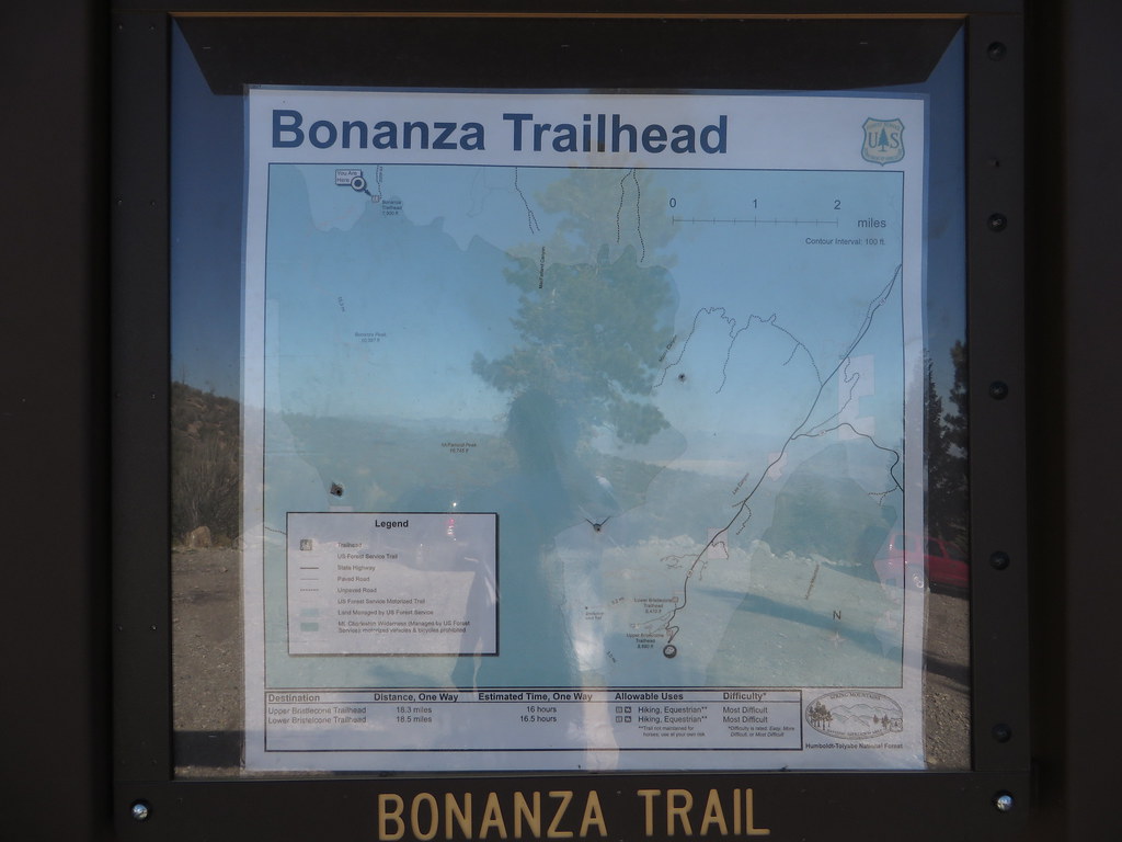 Bonanza TrailHiking · ~52 min drivePhoto: Ken Lund — CC BY-SA 2.0 (via Flickr)
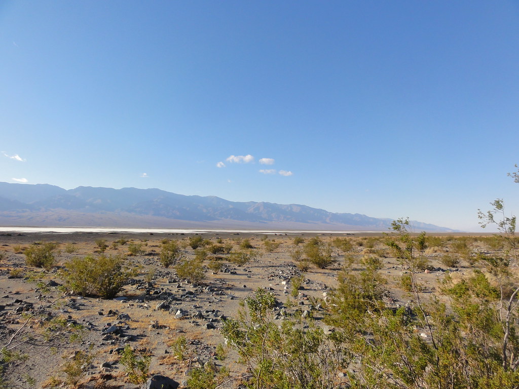 Willow CanyonHiking · ~53 min drivePhoto: inazakira, CC BY-SA 2.0 (via Flickr)
- Sheep CanyonHiking · ~43 min drive
 Crystal Springs BoardwalkHiking · ~32 min drivePhoto: cm195902, CC BY 2.0 (via Flickr)
Best time to visit Stewart Point Trail
Best months: February–May and October–November. Best months have typical highs of 55–85 °F, lows of 30 °F or warmer (32 °F where the station doesn't record snow), at most one snowy day and no more than 12 wet days.
Jan
53° / 32°
4 wet
Feb
56° / 35°
5 wet
Mar
64° / 41°
4 wet
Apr
70° / 47°
2 wet
May
80° / 56°
1 wet
Jun
90° / 66°
1 wet
Jul
95° / 73°
2 wet
Aug
94° / 72°
2 wet
Sep
87° / 62°
2 wet
Oct
75° / 50°
2 wet
Nov
62° / 38°
2 wet
Dec
52° / 31°
3 wet
Typical high / low (°F) and days with rain or snow, 1991–2020. Measured at Red Rock Canyon - Spg Mt Rch S, NV, 42.3 mi away at 3,780 ft. The station sits about 1,400 ft lower than this place, so expect it a little cooler here. This station doesn't record snowfall. Source: NOAA NCEI U.S. Climate Normals 1991–2020.


Map and trail data © OpenStreetMap contributors
