Split Mountain
- 3.0 mi
- round trip
- 358 ft
- climb
- 6,388 ft
- high point
- Out and back
- route
Is Split Mountain open right now?
Closure in the area
There's a closure order in Sequoia National Forest. It doesn't name Split Mountain, so check the source for the area it covers (2 listed).
Tule River Glass Container Prohibition Area
Agency closure covering Sequoia National Forest · Order 0513-26-02 · USFS · Sequoia National Forest
Trail of 100 Giants Boardwalk and Area Closure
Agency closure covering Sequoia National Forest · Order 0513-26-03 · USFS · Sequoia National Forest
PUBLIC NUDITY PROHIBITION - Sequoia National Forest
Agency alert covering Sequoia National Forest · Order 0513-26-06 · USFS · Sequoia National Forest
Chico Flat Dispersed Camping Area Prohibition 26-27
Agency alert covering Sequoia National Forest · Order 0513-26-09 · USFS · Sequoia National Forest
Wildlife Alert - BEARS
Agency alert covering Sequoia National Forest · USFS · Sequoia National Forest
As of · Source: USFS · Sequoia National Forest. Agencies don't list every closure — check before you go.
Split Mountain is a 3-mile out-and-back hike in the Kern River Ranger District of Sequoia National Forest in California, managed by the Forest Service. The trail rises from about 6,150 feet to a high point of 6,388 feet, with a total elevation gain of 358 feet. It is a moderate route, and the trail surface is natural, so expect dirt and rock rather than pavement. The climb is a steady one, and the trail is open year-round. Bikes are allowed, so it works for hikers and riders alike. Nearby, the Black Mountain Trail and Black Mountain Saddle both lie within about a mile and a half. Cedar Creek campground is about 3.5 miles away, and the Kern River Ranger District's river fishing is roughly 5 miles off.
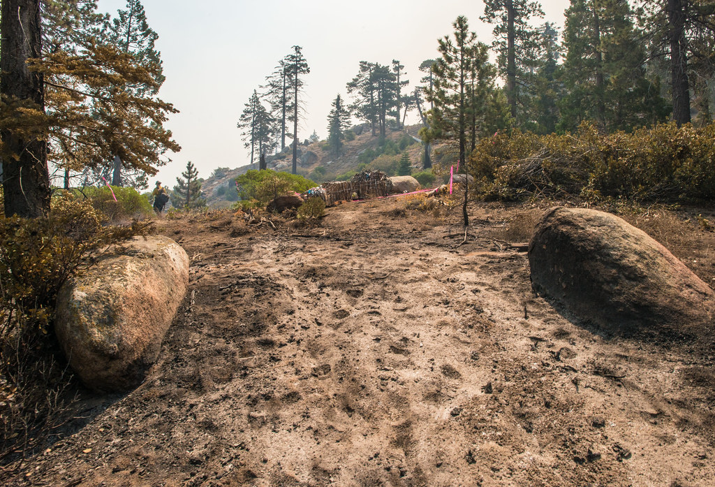 Black Mountain TrailHikingPhoto: USDAgov, Public Domain Mark (via Flickr)1.2 mi
- BLACK MOUNTAIN SADDLEHikingPhoto: USDAgov, Public Domain Mark (via Flickr)1.3 mi
- Cedar CreekCamping3.5 mi
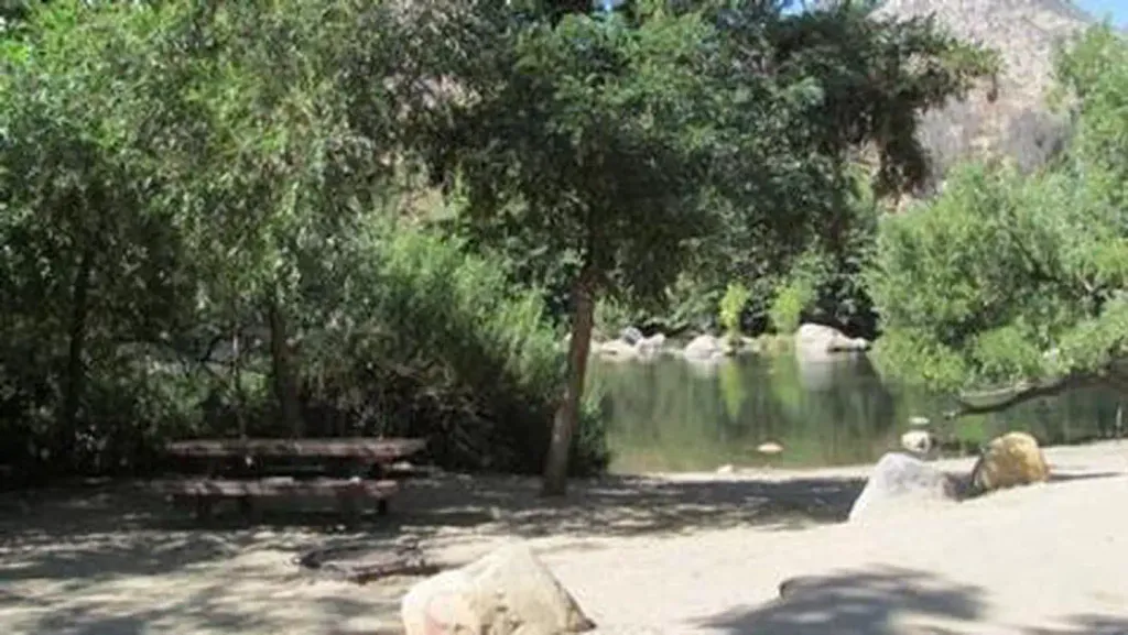 HeadquartersCampingPhoto: Recreation.gov (RIDB) / public domain4.9 mi
- Kern River Ranger DistrictRiver fishing5.2 mi
 Kernville Rock (a.k.a. Kern Slabs)Rock climbingPhoto: Mike Guy, CC BY 3.0 (via Wikimedia Commons)5.6 mi
- New DirectionsRock climbing5.8 mi
- Lake IsabellaLake fishing7.1 mi
Source: Roamze catalog (indexable pages within 10 miles, PostGIS distance)
- Black Mountain TrailHiking · ~2 min drivePhoto: USDAgov, Public Domain Mark (via Flickr)
- BLACK MOUNTAIN SADDLEHiking · ~2 min drivePhoto: USDAgov, Public Domain Mark (via Flickr)
 Potato PatchHiking · ~12 min drivePhoto: anon4809, Public Domain Dedication (CC0) (via Flickr)
- Cannell TrailHiking · ~16 min drive
 Isabella Peak LookoutHiking · ~11 min drivePhoto: bahniuk, CC BY 3.0 (via Wikimedia Commons)
- Coso Mine LoopHiking · ~11 min drivePhoto: bahniuk, CC BY 3.0 (via Wikimedia Commons)
 Flynn CanyonHiking · ~20 min drivePhoto: inkknife_2000 (7.5 million views +), CC BY-SA 2.0 (via Wikimedia Commons)
- Vista Del LagoHiking · ~11 min drivePhoto: bahniuk, CC BY 3.0 (via Wikimedia Commons)
 Cattle RunHiking · ~12 min drivePhoto: USDAgov, Public Domain Mark (via Flickr)
- Just Outstanding TrailHiking · ~7 min drive
