Berkeley Tuolumne Camp
Campground
Campground · 0.4 mi from the trail
Closure in the area
There's a closure order in Stanislaus National Forest. It doesn't name Small Falls Trail, so check the source for the area it covers (2 listed).
Stanislaus National Forest extends seasonal MVUM closure for two high elevation roads
Agency closure covering Stanislaus National Forest · USFS · Stanislaus National Forest
Extension of Seasonal Road Closures
Agency closure covering Stanislaus National Forest · USFS · Stanislaus National Forest
As of · Source: USFS · Stanislaus National Forest. Agencies don't list every closure — check before you go.
Small Falls Trail is a short, easy hike in the Groveland Ranger District of Stanislaus National Forest in California, managed by the Forest Service. The trail is about 0.3 miles long and makes a loop, so it's an out-and-back route that covers roughly 0.6 miles round trip. The start and end point sit at about 3,680 feet, and the trail climbs to around 3,710 feet, with a total gain of about 550 feet over the round trip. The climb is rolling, and the steepest stretch comes near the start, about a quarter of the way in, with a grade of about 22%. The hike is short enough to fit into a half day, and the trail's low elevation makes it a straightforward outing. For the most comfortable conditions, aim for late spring or early fall. Typical averages from the nearby Hetch Hetchy weather station, at a similar elevation, show May highs around 69°F and September highs around 81°F. Winter months there bring highs in the upper 40s and a few wet days a month. Several other spots lie within a few miles. Dam Trail is about a mile away, the South Fork Tuolumne River offers canoeing at about 2 miles, and Spinning Wheel and Hodgdon Meadow Campground are both around 3.5 miles off.
Berkeley Tuolumne Camp
Campground
Cedar House Restaurant
Restaurant
Roosevelt Point
Viewpoint
Scenic viewpoint in Yosemite National Park
Places © OpenStreetMap contributors
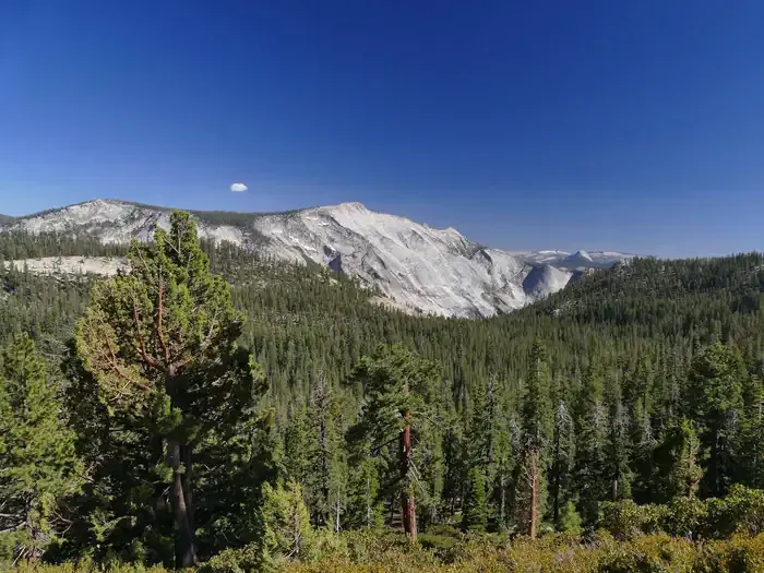
More in Yosemite Valley South Fork Tuolumne RiverCanoeingPhoto: Eeekster, CC BY 3.0 (via Wikimedia Commons)2.1 mi
 Hodgdon Meadow CampgroundCampingPhoto: Recreation.gov (RIDB) / public domain3.5 mi
 Carlon Falls TrailHikingPhoto: Elaine with Grey Cats, CC BY-SA 2.0 (via Flickr)3.7 mi
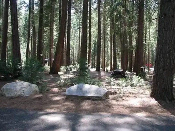 Dimond OCampingPhoto: Recreation.gov (RIDB) / public domain3.7 mi
Source: Roamze catalog (indexable pages within 10 miles, PostGIS distance)
Carlon Falls TrailHiking · ~6 min drivePhoto: Elaine with Grey Cats, CC BY-SA 2.0 (via Flickr) Railroad, South Fork TuolumneHiking · ~8 min drivePhoto: Eeekster, CC BY 3.0 (via Wikimedia Commons)
 Moss Canyon Truck TrailHiking · ~12 min drivePhoto: epredator, CC BY 2.0 (via Flickr)Golden Stairs to Cherry Oil RdHiking · ~9 min drivePhoto: Eeekster, CC BY 3.0 (via Wikimedia Commons)Golden Stairs TrailHiking · ~11 min drivePhoto: Eeekster, CC BY 3.0 (via Wikimedia Commons)
 Tuolumne CanyonHiking · ~13 min drivePhoto: Nerds For Nature, CC BY-SA 2.0 (via Flickr)
 Pilot RidgeHiking · ~10 min drivePhoto: paulinkenbrandt, CC BY-SA 2.0 (via Flickr)
 Hite CoveHiking · ~19 min drivePhoto: Ken Lund, CC BY-SA 2.0 (via Flickr)
 MatherHiking · ~11 min drivePhoto: Charkrem, CC BY 2.0 (via Flickr)
Best months: March–June and September–November. Best months have typical highs of 55–85 °F, lows of 30 °F or warmer (32 °F where the station doesn't record snow), at most one snowy day and no more than 12 wet days.
Jan
48° / 32°
10 wet
Feb
52° / 33°
10 wet
Mar
57° / 36°
11 wet
Apr
62° / 39°
8 wet
May
69° / 46°
6 wet
Jun
78° / 53°
3 wet
Jul
86° / 59°
1 wet
Aug
86° / 59°
1 wet
Sep
81° / 54°
2 wet
Oct
70° / 45°
4 wet
Nov
56° / 37°
7 wet
Dec
47° / 33°
10 wet
Typical high / low (°F) and days with rain or snow, 1991–2020. Measured at Hetch Hetchy, CA, 13 mi away at 3,870 ft. This station doesn't record snowfall. Source: NOAA NCEI U.S. Climate Normals 1991–2020.
Map and trail data © OpenStreetMap contributors
