Lazy-W-Ranch Camp
Campground
Campground · 2.0 mi from the trail
Closure in the area
There's a closure order in Cleveland National Forest. It doesn't name Old Sugarloaf Peak Trail, so check the source for the area it covers.
Airport Fire Burned Area Closure
Agency closure covering Cleveland National Forest · Order 02-26-09 · USFS · Cleveland National Forest
Cedar Creek Falls Visitor Use Permit Area
Agency alert covering Cleveland National Forest · Order 02-26-07 · USFS · Cleveland National Forest
Cedar Creek Falls Cliff Closure Area
Agency alert covering Cleveland National Forest · Order 02-26-06 · USFS · Cleveland National Forest
Cedar Creek Falls Alcohol Prohibition
Agency alert covering Cleveland National Forest · USFS · Cleveland National Forest
As of · Source: USFS · Cleveland National Forest. Agencies don't list every closure — check before you go.
Old Sugarloaf Peak Trail is a short, steep out-and-back route in California's Cleveland National Forest, within the Trabuco Ranger District. The Forest Service manages the land. The trail is under 0.7 miles long, and the climb to the high point of 3,264 feet rises about 765 feet from the trail's start at 2,763 feet, which makes the peak a quick but substantial objective for a short outing. The route is front-loaded, with the steepest stretch coming early, at about 0.23 miles in, where the grade reaches 53%. The trail is short enough to fit into a half-day, so plan on about 0.5 hours for the round trip. The Santa Ana Mountains climbing area lies about 1.7 miles away. Hikers can also look to Viejo Tie and Los Pinos, both within about 2 miles. Falcon Group campground, roughly 2.5 miles out, offers a place to stay.
Lazy-W-Ranch Camp
Campground
Hells Kitchen
Restaurant
Fallbrook Gem & Mineral Society
Museum
Places © OpenStreetMap contributors
More in FallbrookDaily highs and lows, wind and the chance of precipitation at the summit and route start for the next 7 days, from the Open-Meteo model.
 San JuanHikingPhoto: NancyFry, CC BY 2.0 (via Flickr)2.3 mi
Source: Roamze catalog (indexable pages within 10 miles, PostGIS distance)
San JuanHiking · ~4 min drivePhoto: NancyFry, CC BY 2.0 (via Flickr) FalconHiking · ~5 min drivePhoto: Steve Riggins, CC BY 3.0 (via Wikimedia Commons)
 ChiquitoHiking · ~5 min drivePhoto: Ken Lund, CC BY-SA 2.0 (via Flickr)Morgan TrailHiking · ~7 min drivePhoto: Ken Lund, CC BY-SA 2.0 (via Flickr)Bear CanyonHiking · ~7 min drivePhoto: Ken Lund, CC BY-SA 2.0 (via Flickr)
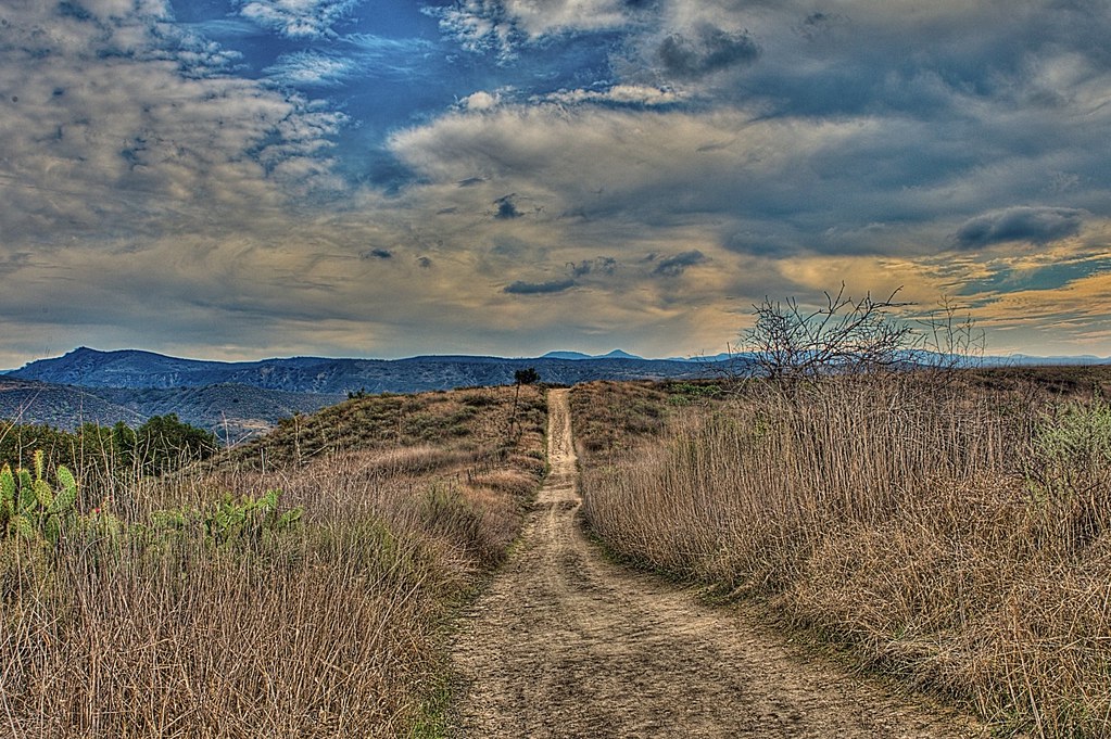 Bell View TrailHiking · ~9 min drivePhoto: stevetulk, CC BY 2.0 (via Flickr)
Also worth it near here
 Lazy-W-Ranch CampCamping · ~4 min drivePhoto: Orange County Archives — CC BY 2.0 (via Flickr)
 Los Pinos PeakSummit · ~5 min drivePhoto: Shannon1, CC BY-SA 4.0 (via Wikimedia Commons)San Juan CanyonRock climbing · ~6 min drivePhoto: Ken Lund, CC BY-SA 2.0 (via Flickr)
About 0.4 mi round trip.
About 765 ft of climbing round trip.
It is rated hard.
About 0.5 hours round trip.
Map and trail data © OpenStreetMap contributors
