Shasta Divide Trail
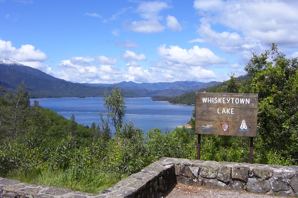 Photo: Scottb211, CC BY 2.0 (via Flickr)
- 0.5 mi
- round trip
- 423 ft
- climb
- 1,634 ft
- high point
- Out and back
- route
- Feb–May, Oct–Nov
- best months
Is Shasta Divide Trail open right now?
No closures listed
The National Park Service lists no closures for Whiskeytown-Shasta-Trinity National Recreation Area.
As of · Source: NPS · Whiskeytown-Shasta-Trinity National Recreation Area. Agencies don't list every closure — check before you go.
The Shasta Divide Trail is a short, easy out-and-back hike in California's Whiskeytown-Shasta-Trinity National Recreation Area, managed by the National Park Service. The trail is about half a mile long, with a total elevation gain of 423 feet, and it starts and ends at roughly 1,634 feet, with a high point of 1,634 feet. The climb is rolling, and the steepest stretch comes at about 0.37 miles in, with a grade of 19 percent. Spring and fall are the most comfortable times to go. Typical averages from a nearby weather station show May highs around 79°F and October highs around 78°F, while July and August average near 99°F. That station sits about 340 feet lower than the trail, so temperatures on the divide run a little cooler. The hike takes about half an hour. Guardian Rock Trail is about 2.3 miles away, and Peltier Bridge Primitive Campground is about 2.4 miles away. Whiskey Creek Group Picnic Area (Whiskeytown NRA) and Dry Creek Group Campground are both about 3 miles away.
- Guardian Rock TrailHiking2.3 mi
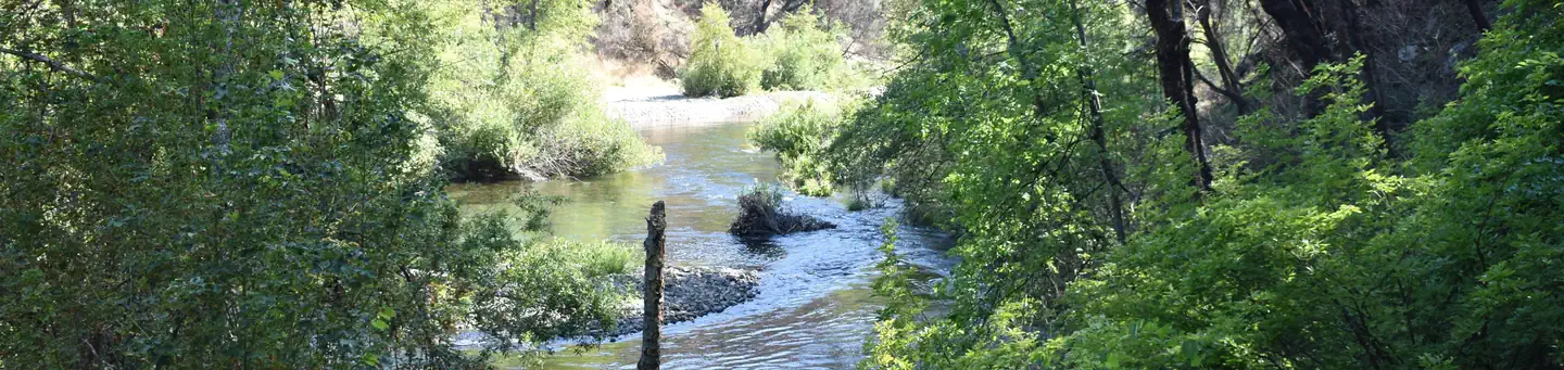 Peltier Bridge Primitive CampgroundSaltwater fishing2.4 mi
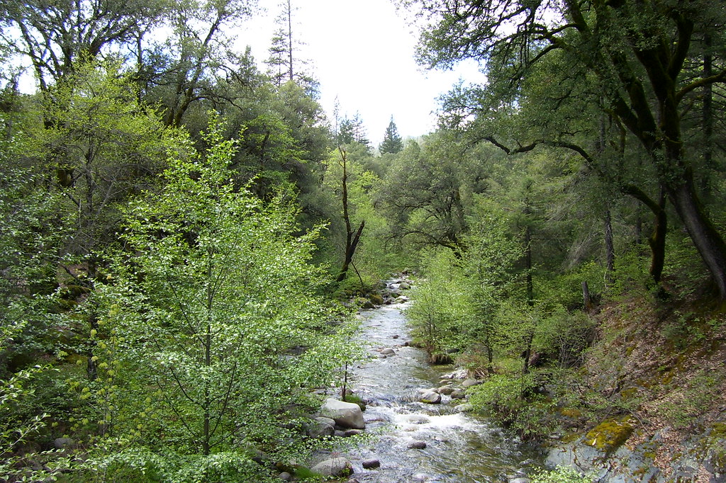 Peltier Valley TrailHikingPhoto: Scottb211, CC BY 2.0 (via Flickr)2.5 mi
- Whiskey Creek Group Picnic Area (Whiskeytown NRA)Camping3 mi
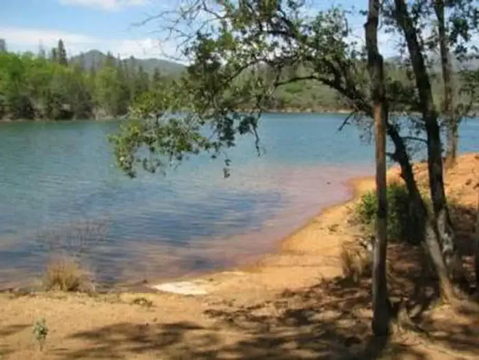 DRY CREEK GROUP CAMPGROUND (Whiskeytown NRA)CampingPhoto: Recreation.gov (RIDB) / public domain3.2 mi
 Sheep Camp Primitive CampgroundSaltwater fishing3.9 mi
- Mary Fork BouldersRock climbing9.4 mi
- Lower GulleyRock climbing9.4 mi
Source: Roamze catalog (indexable pages within 10 miles, PostGIS distance)
- Shasta Divide Nature TrailHiking · Next doorPhoto: Scottb211, CC BY 2.0 (via Flickr)
 Mount Shasta Mine Loop TrailHiking · ~3 min drivePhoto: Kevin Shorter, CC BY 2.0 (via Flickr)
- Davis Gulch TrailHiking · ~4 min drivePhoto: Scottb211, CC BY 2.0 (via Flickr)
- Princess Ditch TrailHiking · ~5 min drive
- Ridge TrailHiking · ~4 min drivePhoto: Kevin Shorter, CC BY 2.0 (via Flickr)
- Monarch Mountain TrailHiking · ~4 min drivePhoto: Scottb211, CC BY 2.0 (via Flickr)
- FB TrailHiking · ~8 min drive
- Hydraulic Loop TrailHiking · ~4 min drivePhoto: Kevin Shorter, CC BY 2.0 (via Flickr)
- Peltier Valley TrailHiking · ~4 min drivePhoto: Scottb211, CC BY 2.0 (via Flickr)
 Lower Brandy Creek TrailHiking · ~6 min drivePhoto: ray_explores, CC BY 2.0 (via Flickr)
Best time to visit Shasta Divide Trail
Best months: February–May and October–November. Best months have typical highs of 55–85 °F, lows of 30 °F or warmer (32 °F where the station doesn't record snow), at most one snowy day and no more than 12 wet days.
Jan
54° / 39°
14 wet
Feb
58° / 41°
12 wet
Mar
63° / 43°
12 wet
Apr
70° / 47°
10 wet
May
79° / 55°
7 wet
Jun
89° / 62°
4 wet
Jul
99° / 67°
1 wet
Aug
98° / 65°
1 wet
Sep
92° / 61°
2 wet
Oct
78° / 52°
5 wet
Nov
62° / 44°
10 wet
Dec
53° / 39°
14 wet
Typical high / low (°F) and days with rain or snow, 1991–2020. Measured at Whiskeytown Rsvr, CA, 0.3 mi away at 1,295 ft. This station doesn't record snowfall. Source: NOAA NCEI U.S. Climate Normals 1991–2020.
Closures we've recorded since August 2026
Prescribed Fire planned for November 9th and 10th for Shasta Divide.
Whiskeytown-Shasta-Trinity National Recreation Area · seen Nov 6, 2026 → lifted Nov 13, 2026 · National Park Service
Map and trail data © OpenStreetMap contributors
