Camp Summertime
Campground
Campground · 7.6 mi from the trail
Sandstone Hills Trail is a moderate out-and-back hike of about 3.7 miles on Regional Agency Land within North Ranch in California. The route gains about 1,500 feet in elevation, with the high point at 1,835 feet, and the steepest stretch comes around mile 1.3, where the grade reaches about 23%. Spring and fall are the most comfortable times to go. Typical averages from a nearby weather station show April highs around 74°F and October highs around 81°F, while July and August average in the low 90s. The trip takes about two hours. Hidden Meadow Trail starts just 0.1 mile away, and Little Sandstone Hills Trail1 is about 0.4 mile off. Hidden Canyon Trail and Ridgeline Singletrack are both within about a mile.
Camp Summertime
Campground
Gladstone Donuts
Fast food
 If it rainsLos Angeles, CC BY-SA 3.0 · Wikimedia Commons
Art environment in Simi Valley, California, United States
Places © OpenStreetMap contributors · Photos: Los Angeles, CC BY-SA 3.0 (commons)
More in Moorpark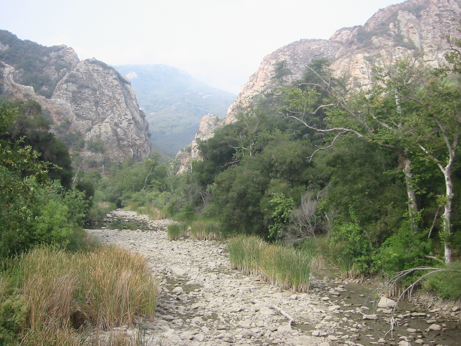 Malibu CreekCanoeingPhoto: Tobin/tobo, Rochester, NY, USA, CC BY-SA 2.0 (via Wikimedia Commons)9.2 mi
Source: Roamze catalog (indexable pages within 10 miles, PostGIS distance)
 Meadow Vista TrailHiking · ~2 min drivePhoto: joefrogger, CC BY-SA 3.0 (via Wikimedia Commons)Long Canyon TrailHiking · ~3 min drivePhoto: joefrogger, CC BY-SA 3.0 (via Wikimedia Commons)Woodridge Loop TrailHiking · ~3 min drivePhoto: joefrogger, CC BY-SA 3.0 (via Wikimedia Commons)
 Wood Ranch TrailHiking · ~4 min drivePhoto: freeloosedirt, CC BY-SA 2.0 (via Flickr)
 West Rim TrailHiking · ~4 min drivePhoto: freeloosedirt, CC BY-SA 2.0 (via Flickr)Bus Canyon TrailHiking · ~4 min drivePhoto: freeloosedirt, CC BY-SA 2.0 (via Flickr)
Also worth it near here
Best months: October–May. Best months have typical highs of 55–85 °F, lows of 30 °F or warmer (32 °F where the station doesn't record snow), at most one snowy day and no more than 12 wet days.
Jan
63° / 47°
5 wet
Feb
65° / 45°
6 wet
Mar
70° / 47°
5 wet
Apr
74° / 49°
3 wet
May
81° / 53°
1 wet
Jun
87° / 57°
0 wet
Jul
94° / 63°
0 wet
Aug
96° / 64°
0 wet
Sep
91° / 62°
1 wet
Oct
81° / 56°
2 wet
Nov
71° / 49°
3 wet
Dec
62° / 44°
5 wet
Typical high / low (°F) and days with rain or snow, 1991–2020. Measured at Newhall 5nw, CA, 17.7 mi away at 1,765 ft. Source: NOAA NCEI U.S. Climate Normals 1991–2020.
Map and trail data © OpenStreetMap contributors
