Sage Trail
- 0.4 mi
- distance
- 13 ft
- climb
- 1,581 ft
- high point
- Lollipop
- route
- Feb–May, Oct–Nov
- best months
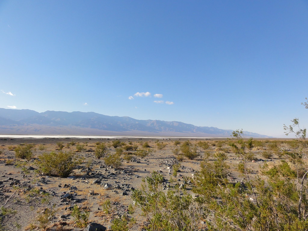
Sage Trail is a short, easy hike in California's Amargosa South Area of Critical Environmental Concern, managed by the Bureau of Land Management. The route is about 0.4 miles long, with a total elevation gain of 13 feet, so it's a gentle walk that can be done in about half an hour. Spring and fall are the most comfortable times to go. Typical averages from a nearby weather station in Pahrump, Nevada, show April highs around 76°F and October highs around 81°F, while July and August average about 100°F. The trail sits close to several other short routes. Blue Trail is about 0.2 miles away, and Red Trail and Aqua Trail are each about 0.4 miles off. For a longer outing, Grimshaw Lake Watchable Wildlife Trail lies about 9 miles away.
 Blue TrailHikingPhoto: string_bass_dave, CC BY-SA 2.0 (via Flickr)0.2 mi
- Red TrailHiking0.4 mi
- Aqua TrailHiking0.4 mi
- Grimshaw Lake Watchable Wildlife TrailHiking9.1 mi
Source: Roamze catalog (indexable pages within 10 miles, PostGIS distance)
- Blue TrailHiking · Next doorPhoto: string_bass_dave, CC BY-SA 2.0 (via Flickr)
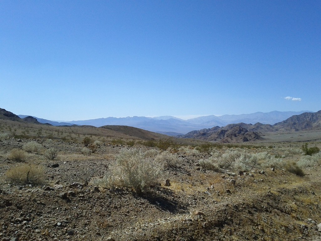 Virgin Springs CanyonHiking · ~30 min drivePhoto: Michael Voelker, CC BY 2.0 (via Flickr)
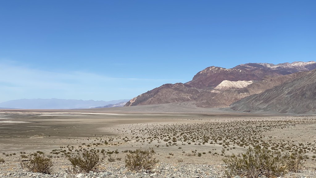 Sidewinder CanyonHiking · ~47 min drivePhoto: lamblukas, CC BY 2.0 (via Flickr)
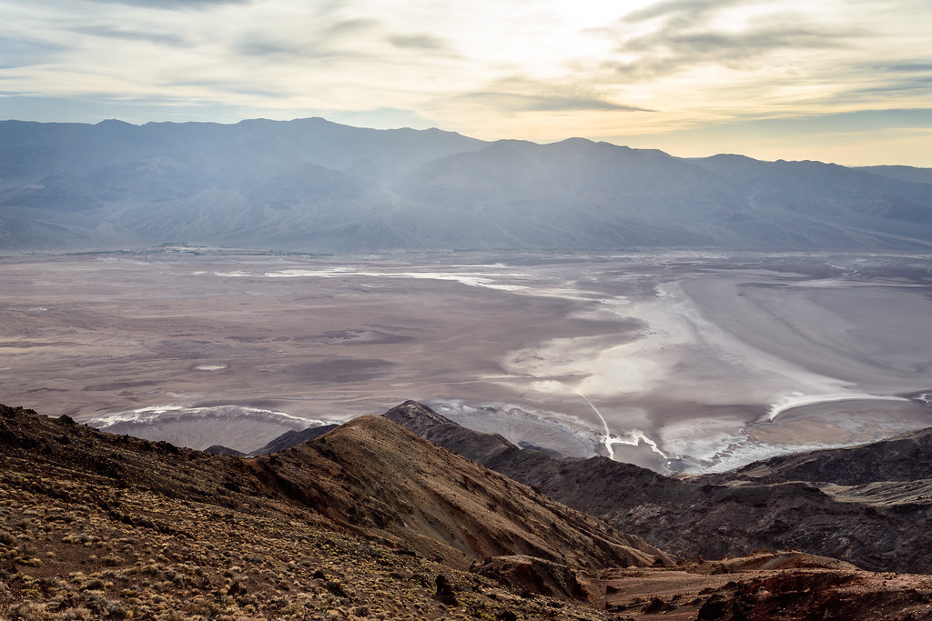 Dantes PeakHiking · ~53 min drivePhoto: dconvertini, CC BY-SA 2.0 (via Flickr)
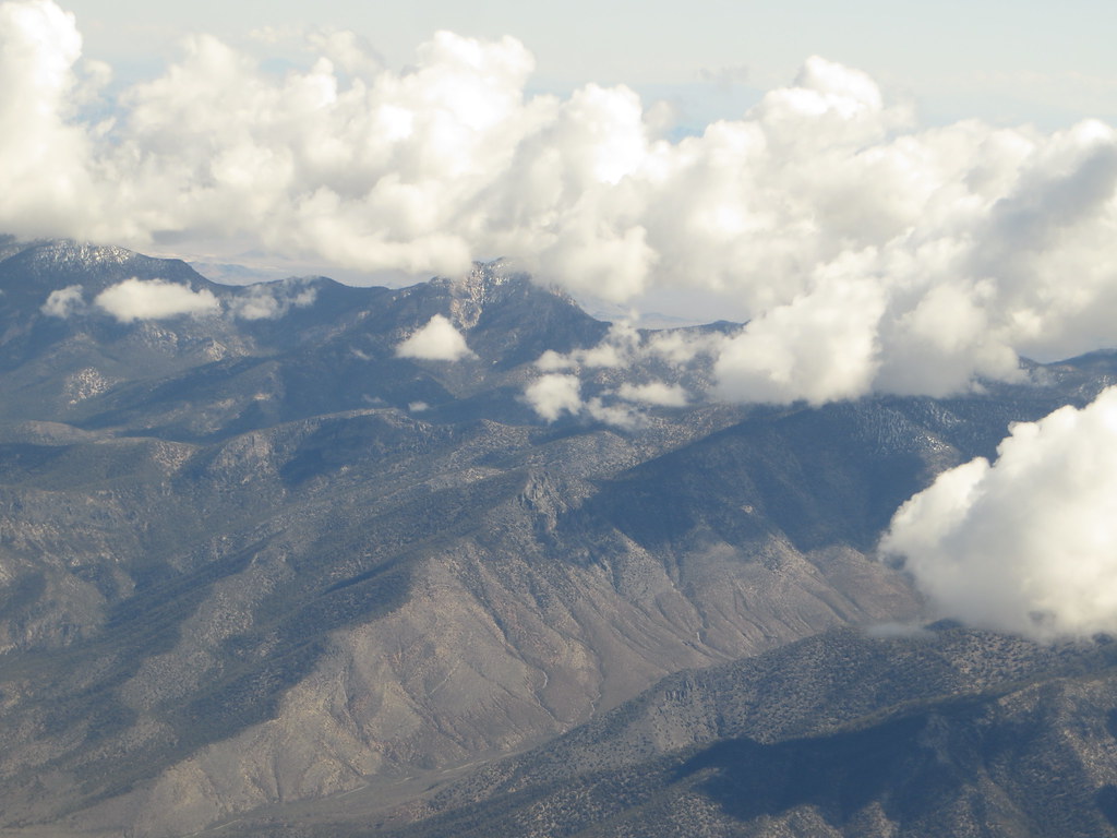 Charleston Peak Trail South LoopHiking · ~1h 5m drivePhoto: Ken Lund, CC BY-SA 2.0 (via Flickr)
- Shoshone Historic LoopHiking · ~2 min drivePhoto: string_bass_dave, CC BY-SA 2.0 (via Flickr)
 Trail CanyonHiking · ~1h 8m drivePhoto: Ken Lund, CC BY-SA 2.0 (via Flickr)
 Willow CanyonHiking · ~47 min drivePhoto: inazakira, CC BY-SA 2.0 (via Flickr)
- Sheep CanyonHiking · ~37 min drive
 Amargosa TrailHiking · ~22 min drivePhoto: Šarūnas Burdulis from USA, CC BY-SA 2.0 (via Wikimedia Commons)
Best time to visit Sage Trail
Best months: February–May and October–November. Best months have typical highs of 55–85 °F, lows of 30 °F or warmer (32 °F where the station doesn't record snow), at most one snowy day and no more than 12 wet days.
Jan
58° / 28°
4 wet
Feb
62° / 32°
4 wet
Mar
69° / 38°
3 wet
Apr
76° / 44°
2 wet
May
85° / 53°
1 wet
Jun
95° / 61°
1 wet
Jul
101° / 68°
2 wet
Aug
100° / 66°
2 wet
Sep
93° / 57°
1 wet
Oct
81° / 45°
1 wet
Nov
67° / 34°
2 wet
Dec
57° / 27°
3 wet
Typical high / low (°F) and days with rain or snow, 1991–2020. Measured at Pahrump 4 Nw, NV, 22.9 mi away at 2,573 ft. The station sits about 1,000 ft higher than this place, so expect it a little warmer here. This station doesn't record snowfall. Source: NOAA NCEI U.S. Climate Normals 1991–2020.


Map and trail data © OpenStreetMap contributors
