San Elijo State Beach
Campground
Campground · 2.4 mi from the trail
Sage Trail is a short, easy out-and-back hike in California, set within the Manchester Mitigation Bank, a land unit managed by a non-governmental organization. The trail is about 0.4 miles long, with a total elevation gain of 84 feet, and it takes roughly half an hour to complete. The route starts at an elevation of about 273 feet and reaches a high point of 281 feet before returning to the start. The steepest stretch comes at about 0.23 miles in, with a grade of 7 percent. The climb is gentle, and the trail is best suited to a quick stop rather than a full day on foot. Late summer into early fall is the warmest stretch. Typical averages from a nearby weather station show highs around 76°F in August and September, with only one or two wet days a month. Winter stays mild, with highs in the mid-60s and lows in the upper 40s. Manchester Canyon lies about 0.4 miles away, and Stratford Trail and La Orilla Trail are each about 1.7 miles off. For climbing, Beacons Beach is roughly 3.9 miles away.
San Elijo State Beach
Campground
 If it rainsMuseum of Making Music at English Wikipedia, CC BY 3.0 · Wikimedia Commons
Music museum in Carlsbad, California
Places © OpenStreetMap contributors, Places © Overture Maps Foundation · Photos: Museum of Making Music at English Wikipedia, CC BY 3.0 (commons)
More in FallbrookNot on Roamze yet. Their page has how to reach them.
Source: Roamze catalog (indexable pages within 10 miles, PostGIS distance)
 Water Tank TrailHiking · ~6 min drivePhoto: Tim Buss from North County, San Diego, California, USA, CC BY 2.0 (via Wikimedia Commons)
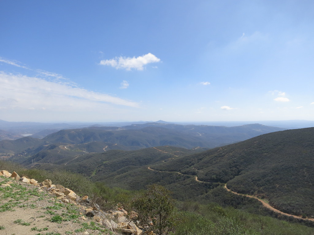 Cerro De Las Posas Ridgeline TrailHiking · ~12 min drivePhoto: Oleg., CC BY 2.0 (via Flickr)
 Batiquitos Lagoon Nature TrailHiking · ~8 min drivePhoto: Dan Horowitz, CC0 (via Wikimedia Commons)
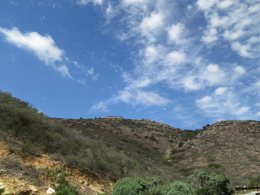 Santa Fe Valley TrailHiking · ~9 min drivePhoto: Oleg., CC BY 2.0 (via Flickr)Del Dios Gorge TrailHiking · ~9 min drivePhoto: Oleg., CC BY 2.0 (via Flickr)
 Eucalyptus TrailHiking · ~9 min drivePhoto: sushipumpum, CC BY-SA 2.0 (via Flickr)
 El Fuerte Bressi Ranch TrailHiking · ~10 min drivePhoto: Ken Lund, CC BY-SA 2.0 (via Flickr)Del Dios Gorge TrailHiking · ~10 min drivePhoto: Oleg., CC BY 2.0 (via Flickr)
 Questhaven Nature TrailHiking · ~10 min drivePhoto: Jason Rosenberg, CC BY 2.0 (via Flickr)
Best months: Year-round. Best months have typical highs of 55–85 °F, lows of 30 °F or warmer (32 °F where the station doesn't record snow), at most one snowy day and no more than 12 wet days.
Jan
65° / 48°
7 wet
Feb
64° / 49°
8 wet
Mar
65° / 51°
8 wet
Apr
66° / 53°
5 wet
May
68° / 57°
3 wet
Jun
70° / 60°
1 wet
Jul
74° / 64°
1 wet
Aug
76° / 65°
1 wet
Sep
76° / 64°
2 wet
Oct
73° / 59°
4 wet
Nov
69° / 52°
6 wet
Dec
65° / 47°
7 wet
Typical high / low (°F) and days with rain or snow, 1991–2020. Measured at Carlsbad Palomar Ap, CA, 6.7 mi away at 328 ft. This station doesn't record snowfall. Source: NOAA NCEI U.S. Climate Normals 1991–2020.
Map and trail data © OpenStreetMap contributors