South Carlsbad State Beach Campground
Campground
Campground · 1.4 mi from the trail
 Photo: sushipumpum, CC BY-SA 2.0 (via Flickr)
Eucalyptus Trail is a short, easy out-and-back hike in California, about 1.8 miles from the town of La Costa. The route is 2.5 miles long, with a total elevation gain of 396 feet, and it is rated easy. The trail starts at a low point of about 63 feet and climbs to a high point of 261 feet, with the steepest stretch at about 0.43 miles in, where the grade reaches 8 percent. The most comfortable months for a visit are typically late summer into early fall. Typical averages from a nearby weather station show highs around 76°F in August and September, with only one or two wet days a month. Winter is cooler, with highs in the mid-60s and about seven wet days a month. The hike takes about an hour to complete. Batiquitos Lagoon Nature Trail is about half a mile away, and Golf View Trail is about a mile off. Water Tank Trail and the climbing at Top Out Wall are both within about 2.3 miles.
South Carlsbad State Beach Campground
Campground
 If it rainsMuseum of Making Music at English Wikipedia, CC BY 3.0 · Wikimedia Commons
Music museum in Carlsbad, California
Places © OpenStreetMap contributors, Places © Overture Maps Foundation · Photos: Museum of Making Music at English Wikipedia, CC BY 3.0 (commons)
More in FallbrookNot on Roamze yet. Their page has how to reach them.
 Batiquitos Lagoon Nature TrailHikingPhoto: Dan Horowitz, CC0 (via Wikimedia Commons)0.5 mi
 Water Tank TrailHikingPhoto: Tim Buss from North County, San Diego, California, USA, CC BY 2.0 (via Wikimedia Commons)2 mi
 Discovery Hike TrailHikingPhoto: Gnawme, CC BY 2.0 (via Flickr)2.3 mi
 Wall of sageRock climbingPhoto: ZachR10, CC BY-SA 4.0 (via Wikimedia Commons)4.3 mi
Source: Roamze catalog (indexable pages within 10 miles, PostGIS distance)
Batiquitos Lagoon Nature TrailHiking · Next doorPhoto: Dan Horowitz, CC0 (via Wikimedia Commons)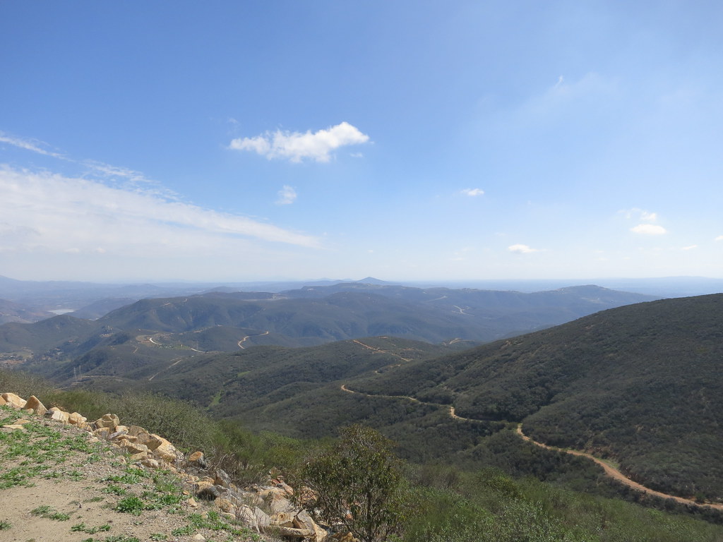 Cerro De Las Posas Ridgeline TrailHiking · ~13 min drivePhoto: Oleg., CC BY 2.0 (via Flickr)Water Tank TrailHiking · ~3 min drivePhoto: Tim Buss from North County, San Diego, California, USA, CC BY 2.0 (via Wikimedia Commons)Discovery Hike TrailHiking · ~4 min drivePhoto: Gnawme, CC BY 2.0 (via Flickr)
 El Fuerte Bressi Ranch TrailHiking · ~5 min drivePhoto: Ken Lund, CC BY-SA 2.0 (via Flickr)
 James TrailHiking · ~8 min drivePhoto: Alicezeppelin, CC BY-SA 4.0 (via Wikimedia Commons)South Shore TrailHiking · ~8 min drivePhoto: Alicezeppelin, CC BY-SA 4.0 (via Wikimedia Commons)
Also worth it near here
Wall of sageRock climbing · ~7 min drivePhoto: ZachR10, CC BY-SA 4.0 (via Wikimedia Commons) Cerro de la CalaveraSummit · ~8 min drivePhoto: ZachR10, CC BY-SA 4.0 (via Wikimedia Commons)
 San Elijo State BeachCamping · ~9 min drivePhoto: bossco — CC BY-SA 2.0 (via Flickr)
Best months: Year-round. Best months have typical highs of 55–85 °F, lows of 30 °F or warmer (32 °F where the station doesn't record snow), at most one snowy day and no more than 12 wet days.
Jan
65° / 48°
7 wet
Feb
64° / 49°
8 wet
Mar
65° / 51°
8 wet
Apr
66° / 53°
5 wet
May
68° / 57°
3 wet
Jun
70° / 60°
1 wet
Jul
74° / 64°
1 wet
Aug
76° / 65°
1 wet
Sep
76° / 64°
2 wet
Oct
73° / 59°
4 wet
Nov
69° / 52°
6 wet
Dec
65° / 47°
7 wet
Typical high / low (°F) and days with rain or snow, 1991–2020. Measured at Carlsbad Palomar Ap, CA, 2.2 mi away at 328 ft. This station doesn't record snowfall. Source: NOAA NCEI U.S. Climate Normals 1991–2020.
Map and trail data © OpenStreetMap contributors
