Camp Herms BSA
Campground
Campground · 6.7 mi from the trail
 Photo: mlinksva, Public Domain Dedication (CC0) (via Flickr)
Rough Trail is a short, easy out-and-back hike on the Point Pinole Regional Shoreline in California, on land managed by a regional agency. The trail is about 0.35 miles long, and the round trip covers roughly 0.7 miles with a total elevation gain of 168 feet. The climb is gentle, with the steepest stretch at about 0.2 miles in, where the grade reaches 8 percent. The most comfortable months for a visit are typically late spring through early fall. Typical averages from a nearby weather station in Richmond show highs around 69°F in May and 75°F in September, with no snow days recorded in any month. The trail makes an easy pairing with other short walks in the area. Bay View Trail is about 0.1 mile away, Woods Trail is about 0.3 mile away, and Giant Station Trail is about 0.4 mile away. Climbers can find Great Stone Face about 8.6 miles off.
Camp Herms BSA
Campground
 If it rainsMissvain, CC0 · Wikimedia Commons
Contemporary art museum in California, U.S.
Places © OpenStreetMap contributors, Places © Overture Maps Foundation · Photos: Missvain, CC0 (commons)
More in TemelecNot on Roamze yet. Their page has how to reach them.
Bay View TrailHikingPhoto: mlinksva, Public Domain Dedication (CC0) (via Flickr)0.1 miWoods TrailHikingPhoto: mlinksva, Public Domain Dedication (CC0) (via Flickr)0.3 mi Giant Station TrailHikingPhoto: mlinksva, Public Domain Dedication (CC0) (via Flickr)0.4 mi
 Great Stone FaceRock climbingPhoto: User:Tfinc, CC BY-SA 3.0 (via Wikimedia Commons)8.6 mi
 Little Half DomeRock climbingPhoto: Burkhard Mücke, CC BY-SA 4.0 (via Wikimedia Commons)8.9 mi
 Mortar RockRock climbingPhoto: kevin dooley, CC BY 2.0 (via Flickr)8.9 miNorth face (Indian Rock)Rock climbingPhoto: User:Tfinc, CC BY-SA 3.0 (via Wikimedia Commons)9 mi
Source: Roamze catalog (indexable pages within 10 miles, PostGIS distance)
Bay View TrailHiking · Next doorPhoto: mlinksva, Public Domain Dedication (CC0) (via Flickr)Packhouse TrailHiking · Next doorPhoto: mlinksva, Public Domain Dedication (CC0) (via Flickr)Woods TrailHiking · Next doorPhoto: mlinksva, Public Domain Dedication (CC0) (via Flickr)Giant Station TrailHiking · Next doorPhoto: mlinksva, Public Domain Dedication (CC0) (via Flickr)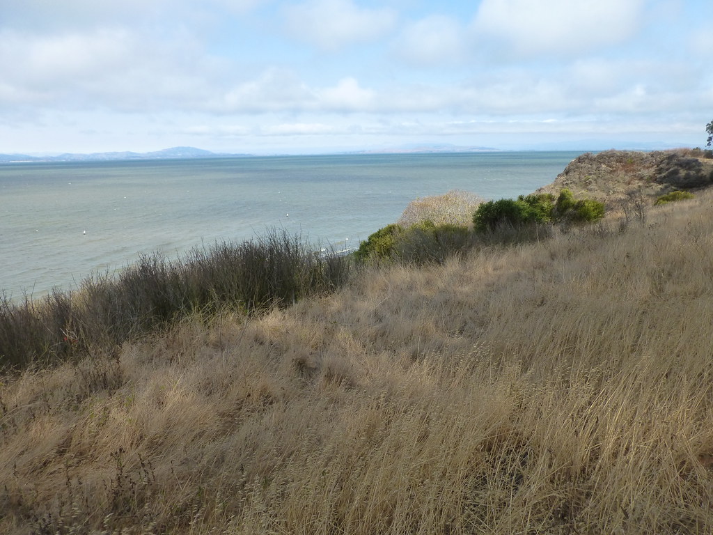 China Cove TrailHiking · Next doorPhoto: mlinksva, Public Domain Dedication (CC0) (via Flickr)
Best months: Year-round. Best months have typical highs of 55–85 °F, lows of 30 °F or warmer (32 °F where the station doesn't record snow), at most one snowy day and no more than 12 wet days.
Jan
58° / 44°
Feb
61° / 46°
Mar
64° / 47°
Apr
67° / 49°
May
69° / 52°
Jun
72° / 54°
Jul
71° / 55°
Aug
72° / 56°
Sep
75° / 56°
Oct
73° / 54°
Nov
65° / 49°
Dec
58° / 44°
Typical high / low (°F) and days with rain or snow, 1991–2020. Measured at Richmond, CA, 5.6 mi away at 20 ft. Source: NOAA NCEI U.S. Climate Normals 1991–2020.
Map and trail data © OpenStreetMap contributors
