Camp Herms BSA
Campground
Campground · 6.7 mi from the trail
Owl Alley Trail is a short, easy hike on the Point Pinole Regional Shoreline in California, on land managed by a regional agency. The trail is about 0.8 miles long and is rated easy, with a total climb of about 120 feet over the round trip. The route is an out-and-back that starts and ends at roughly 43 feet, with the high point at about 46 feet. The steepest stretch comes at about 0.69 miles, with a grade of about 5 percent. The trail is short and low, so it works well as a quick stop or a link between other walks in the area. For comfortable weather, late spring and early fall are the sweet spots. Typical averages from a nearby weather station in Richmond show May highs around 69°F and September highs around 75°F, with no snow days all year. Several other trails sit close by. Marsh Trail is about 0.1 mile away, Woods Trail about 0.3 mile, and Bay View Trail and Giant Station Trail each about 0.4 mile.
Camp Herms BSA
Campground
Aviation museum in Sonoma, California
Places © OpenStreetMap contributors, Places © Overture Maps Foundation
More in TemelecNot on Roamze yet. Their page has how to reach them.
 Marsh TrailHikingPhoto: mlinksva, Public Domain Dedication (CC0) (via Flickr)0.1 miWoods TrailHikingPhoto: mlinksva, Public Domain Dedication (CC0) (via Flickr)0.3 miBay View TrailHikingPhoto: mlinksva, Public Domain Dedication (CC0) (via Flickr)0.4 mi
 Giant Station TrailHikingPhoto: mlinksva, Public Domain Dedication (CC0) (via Flickr)0.4 mi
 Great Stone FaceRock climbingPhoto: User:Tfinc, CC BY-SA 3.0 (via Wikimedia Commons)8.7 mi
 Little Half DomeRock climbingPhoto: Burkhard Mücke, CC BY-SA 4.0 (via Wikimedia Commons)9 mi
 Mortar RockRock climbingPhoto: kevin dooley, CC BY 2.0 (via Flickr)9 miNorth face (Indian Rock)Rock climbingPhoto: User:Tfinc, CC BY-SA 3.0 (via Wikimedia Commons)9.1 mi
Source: Roamze catalog (indexable pages within 10 miles, PostGIS distance)
Woods TrailHiking · Next doorPhoto: mlinksva, Public Domain Dedication (CC0) (via Flickr)Packhouse TrailHiking · Next doorPhoto: mlinksva, Public Domain Dedication (CC0) (via Flickr)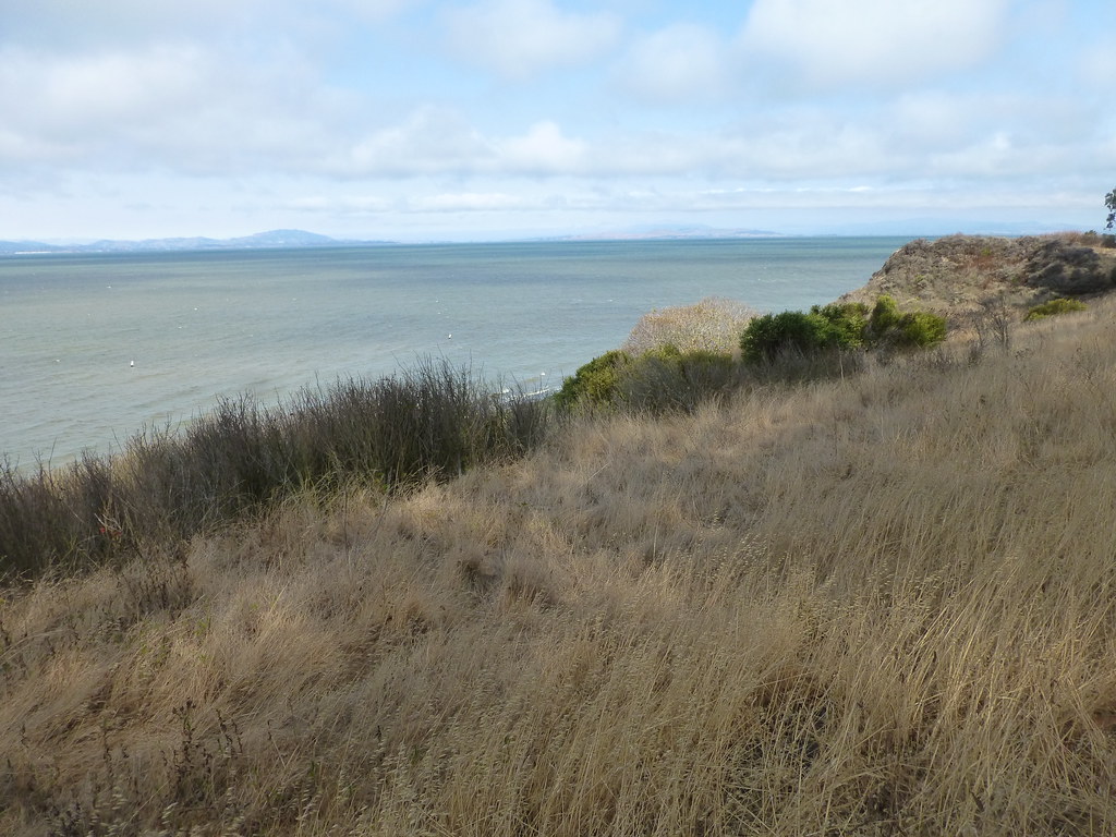 China Cove TrailHiking · Next doorPhoto: mlinksva, Public Domain Dedication (CC0) (via Flickr)Bay View TrailHiking · Next doorPhoto: mlinksva, Public Domain Dedication (CC0) (via Flickr)Giant Station TrailHiking · Next doorPhoto: mlinksva, Public Domain Dedication (CC0) (via Flickr)
Best months: Year-round. Best months have typical highs of 55–85 °F, lows of 30 °F or warmer (32 °F where the station doesn't record snow), at most one snowy day and no more than 12 wet days.
Jan
58° / 44°
Feb
61° / 46°
Mar
64° / 47°
Apr
67° / 49°
May
69° / 52°
Jun
72° / 54°
Jul
71° / 55°
Aug
72° / 56°
Sep
75° / 56°
Oct
73° / 54°
Nov
65° / 49°
Dec
58° / 44°
Typical high / low (°F) and days with rain or snow, 1991–2020. Measured at Richmond, CA, 6 mi away at 20 ft. Source: NOAA NCEI U.S. Climate Normals 1991–2020.
Map and trail data © OpenStreetMap contributors
