Buckeye Flats Campground
Campground
Campground · 3.0 mi from the trail
 Photo: Harald Hoyer from Schwerin, Germany, CC BY-SA 2.0 (via Wikimedia Commons)
No closures listed
The National Park Service lists no closures for Sequoia National Park.
As of · Source: NPS · Sequoia National Park. Agencies don't list every closure — check before you go.
Rimrock is an easy out-and-back hike in Sequoia National Park, managed by the National Park Service. The route is about 2.4 miles long, with a one-way climb of 446 feet from a low point of 6,431 feet to a high of 6,909 feet. Summer is the most comfortable time to go. Typical averages from the nearby Lodgepole weather station show July and August highs around 76°F with lows in the mid-40s and only about two wet days a month. Winter brings highs in the upper 30s and frequent snow days. Several other hikes start within a quarter mile, including Inheritance, Hot Spots and Big Trees. Climbers can head to the East Face area about 1.5 miles away.
Buckeye Flats Campground
Campground
 If it rainsDavid Fulmer, CC BY 2.0 · Wikimedia Commons
Giant Forest Museum
Museum
Places © OpenStreetMap contributors · Photos: David Fulmer, CC BY 2.0 (commons)
More in Silver CityNot on Roamze yet. Their page has how to reach them.
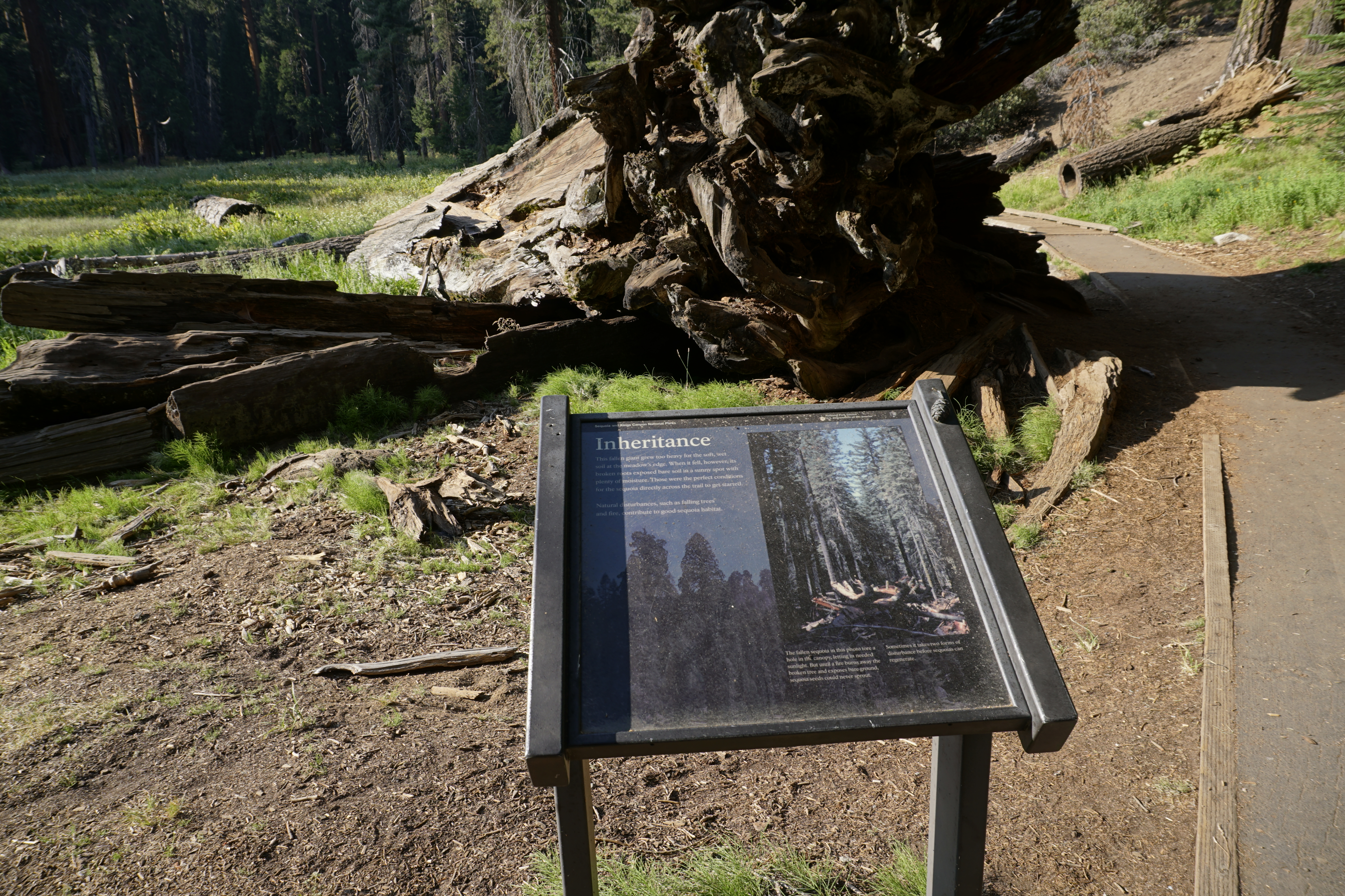 InheritanceHiking0.2 mi
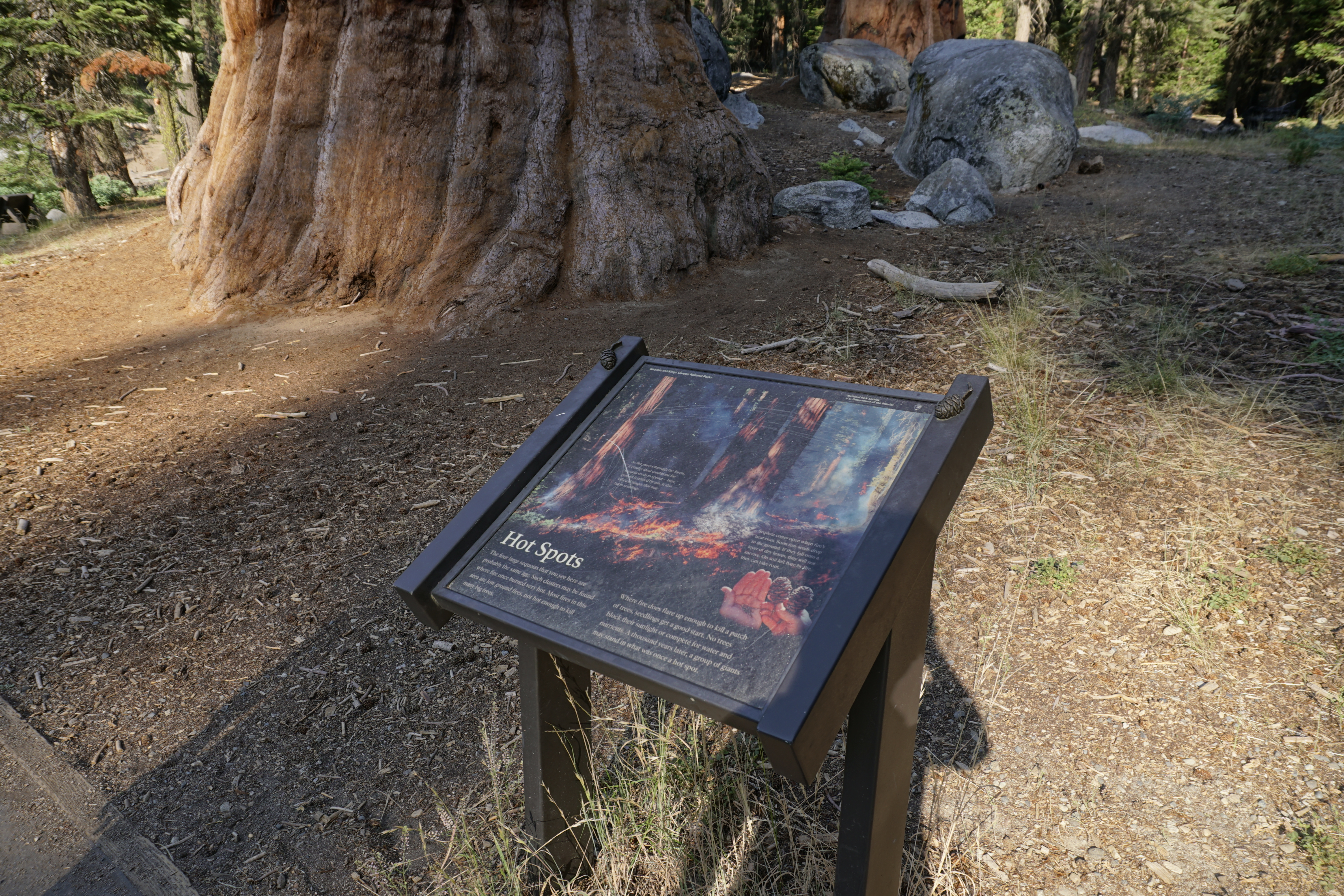 Hot SpotsHiking0.2 mi
 Big TreesHikingPhoto: Harald Hoyer from Schwerin, Germany, CC BY-SA 2.0 (via Wikimedia Commons)0.2 mi
 East FaceRock climbingPhoto: Juhele_CZ, CC0 (via Flickr)1.5 miWest FaceRock climbingPhoto: Juhele_CZ, CC0 (via Flickr)1.6 mi
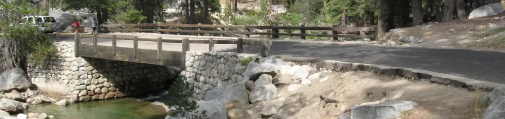 Lodgepole Campground-Sequoia and Kings Canyon National ParkCampingPhoto: Recreation.gov (RIDB) / public domain3.6 mi
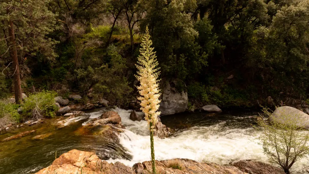 Potwisha CampgroundCampingPhoto: Recreation.gov (RIDB) / public domain3.8 mi
Source: Roamze catalog (indexable pages within 10 miles, PostGIS distance)
 Crescent Mdw-BearpawHiking · ~2 min drivePhoto: Juhele_CZ, Public Domain Dedication (CC0) (via Flickr)Big TreesHiking · Next doorPhoto: Harald Hoyer from Schwerin, Germany, CC BY-SA 2.0 (via Wikimedia Commons)
 AltaHiking · Next doorPhoto: KELE118, CC BY 3.0 (via Wikimedia Commons)Bear HillHiking · Next doorPhoto: KELE118, CC BY 3.0 (via Wikimedia Commons)
Also worth it near here
Best months: June–October. Best months have typical highs of 55–85 °F, lows of 30 °F or warmer (32 °F where the station doesn't record snow), at most one snowy day and no more than 12 wet days.
Jan
39° / 17°
9 wet · 8 snow
Feb
41° / 18°
10 wet · 8 snow
Mar
45° / 22°
10 wet · 8 snow
Apr
50° / 26°
8 wet · 5 snow
May
58° / 33°
5 wet · 2 snow
Jun
68° / 40°
3 wet
Jul
76° / 46°
2 wet
Aug
76° / 44°
2 wet
Sep
70° / 39°
2 wet
Oct
59° / 31°
4 wet · 1 snow
Nov
47° / 23°
6 wet · 4 snow
Dec
37° / 17°
8 wet · 6 snow
Typical high / low (°F) and days with rain or snow, 1991–2020. Measured at Lodgepole, CA, 3.2 mi away at 6,735 ft. Source: NOAA NCEI U.S. Climate Normals 1991–2020.

