Revelation Trail
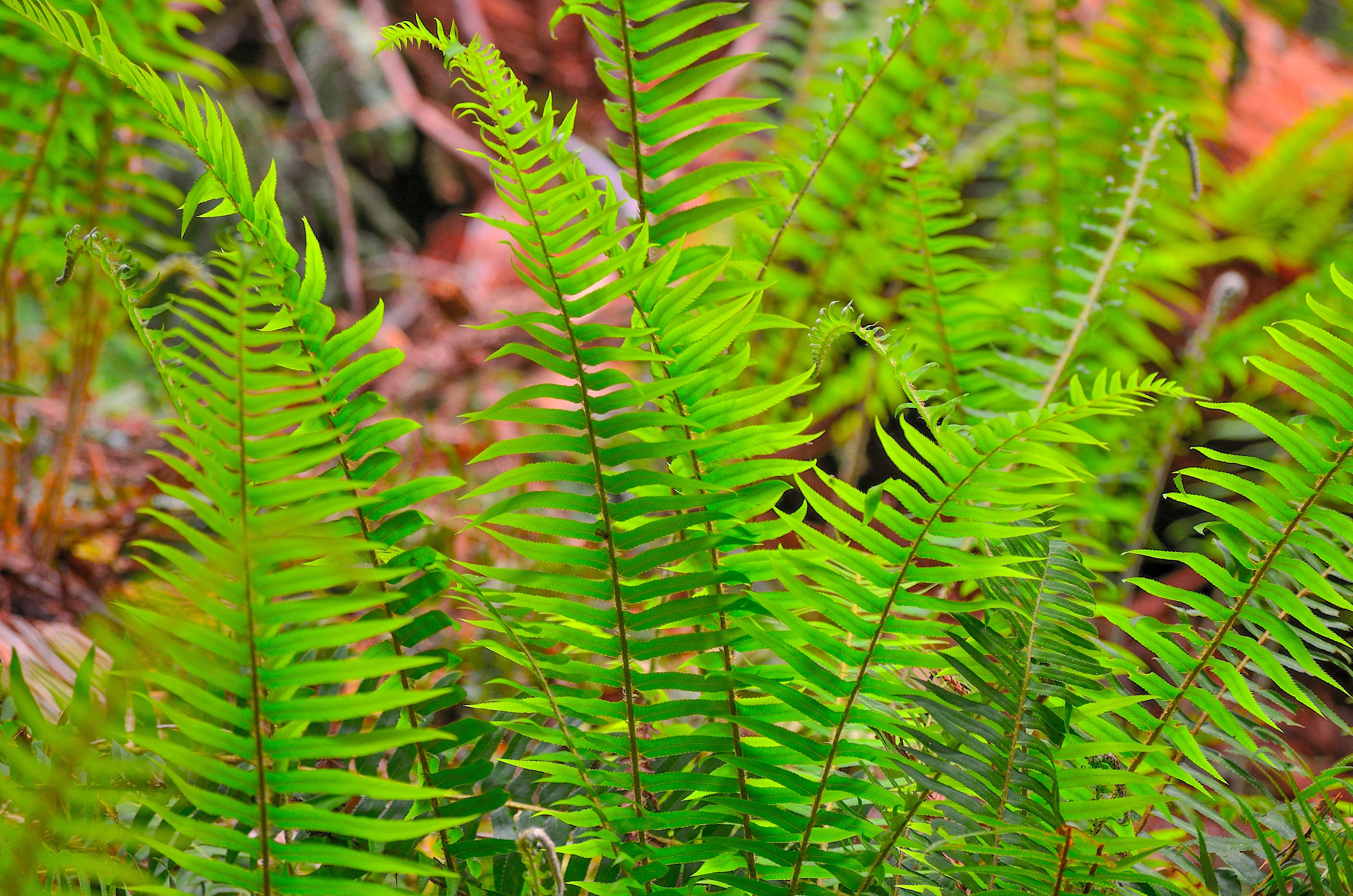 Photo: NPS Photo / Steve Olson
- 0.2 mi
- loop
- 152 ft
- high point
- Loop
- route
- Easy
- difficulty
- Mar–Nov
- best months
Is Revelation Trail open right now?
Alert in the area
The National Park Service lists an alert for Redwood National Park.
Delays along Highway 101
Park alert covering Redwood National Park · NPS · Redwood National Park
As of · Source: NPS · Redwood National Park. Agencies don't list every closure — check before you go.
Revelation Trail is a short, easy walk of about 0.18 miles in California, set at the edge of the redwood forest where Redwood National Park meets Prairie Creek Redwoods State Park. The trail is flat, with no elevation gain, and the high point sits at about 152 feet. The land is managed by State Park and Recreation, and the nearest town is Orick, about 0.3 miles away. The most comfortable months for a visit are late summer into early fall. Typical averages from a nearby weather station at Orick Prairie Creek Park show highs around 69°F in August and September, with lows near 49°F. Winter is cooler, with highs in the low 50s and lows in the mid-30s. The trail makes an easy pairing with other short walks in the area. Nature Trail and West Ridge Trail are each about 0.2 miles away, and Foothill Trail is about 0.3 miles off. For time on the water, Prairie Creek offers canoeing about 0.7 miles away.
Best time to go · Mar–Nov
Best time to visit Revelation Trail
Best months: March–November. Best months have typical highs of 55–85 °F, lows of 30 °F or warmer (32 °F where the station doesn't record snow), at most one snowy day and no more than 12 wet days.
Jan
52° / 36°
Feb
54° / 37°
Mar
56° / 37°
Apr
58° / 39°
May
61° / 43°
Jun
64° / 46°
Jul
67° / 49°
Aug
69° / 49°
Sep
69° / 45°
Oct
65° / 42°
Nov
56° / 39°
Dec
51° / 36°
Typical high / low (°F) and days with rain or snow, 1991–2020. Measured at Orick Prairie Creek Park, CA, 0.3 mi away at 160 ft. This station doesn't record snowfall. Source: NOAA NCEI U.S. Climate Normals 1991–2020.
Keep exploring — more trails worth the drive
HIKE
Trailhead: Karl Knapp (Prairie Creek) to Foothills Trail Loop
Next door
Note: In late 2021 the Prairie Creek Trail was renamed the Karl Knapp Trail. Future publications, maps, and signs will show the new name. The Karl Knapp Trailhead is next to the Prairie Creek Visitor Center. This is a loop trail that can be completed in either direction.…
 Photo: Scottb211, CC BY 2.0 (via Flickr)
Cathedral Trees Trail
~1 min drive
2.14-mile out-and-back hike in California with 1,053 ft elevation gain.
HIKE
Lost Man Creek: Hike and Bike Trail
~4 min drive
An Opportunity To Ride (Or Stroll) Through A Landscape In Recovery. Lost Man Creek flows through a landscape greatly changed from the 1960s when much of this area was clearcut logged. What used to be a logging road has been converted into a hike and bike trail. Lost Man…
 Photo: Aleksandr Zykov, CC BY-SA 2.0 (via Flickr)
Berry Glen Trail
~6 min drive
4.54-mile out-and-back trail in California with 2,506 ft elevation gain/loss.
HIKE
West Ridge Trail
Next door
13.16-mile out-and-back hike in California with 2,754 ft elevation gain
 Photo: estro, CC BY-SA 2.0 (via Flickr)
Foothill Trail
~3 min drive
0.96-mile out-and-back hike in California with 437 ft of elevation gain
 Photo: lamblukas, CC BY 2.0 (via Flickr)
Foothill Trail
~2 min drive
1.72-mile out-and-back trail in California with 883 ft elevation gain.
HIKE
Davison Trail: South Access
~5 min drive
A short trail that is part of a of "Hike and Bike" hub in the southern end of the redwood parks. You will see first-hand the legacy of 20th century redwood logging practices. This 2.5 mile trail follows an old logging road from the Elk Meadow Day Use area to the Elk Prairie…
 Photo: Redwood National and State Parks, Public domain (via Wikimedia Commons)
Rhododendron Trail
~5 min drive
10.44-mile out-and-back hike in California with 2,967 ft elevation gain and loss.
 Photo: daveynin, CC BY 2.0 (via Flickr)
Miner's Ridge Trail
~3 min drive
3.34-mile out-and-back trail in California with 611 ft elevation gain.
Also worth it near here
 Photo: Redwood National and State Parks — Public Domain Mark 1.0 (via Flickr)
Elk Prairie Campground
Next door
 Photo: Thewellman, CC0 (via Wikimedia Commons)
Prairie Creek
~1 min drive
DO
Gold Bluffs Campground
~5 min drive
 Photo: lamblukas, CC BY 2.0 (via Flickr)
Cormorant Rock and Awkward Turtle
~19 min drive
