Red Canyon Trail
- 1.7 mi
- round trip
- 484 ft
- climb
- 1,505 ft
- high point
- Out and back
- route
- Nov–Apr
- best months
Red Canyon Trail is a short, easy out-and-back hike in California's Choc Mt Air Gnry Rng, about 1.6 miles from its starting point. The route is about 3.3 miles long, with a rolling climb to a high point of 1,505 feet. The trail rises to about 1,505 feet before turning around and descending back to the start. Spring and fall are the most comfortable times to go. Typical averages from the nearby Chiriaco Summit weather station show March highs around 75°F and October highs around 86°F, while July highs average about 103°F. That station sits about 200 feet higher than the trail. The estimated time is about 1.5 hours. The steepest section comes at about 1.6 miles, with a 10% grade.
Local outfitters
- Borrego Outfitters48 mi away
Not on Roamze yet. Their page has how to reach them.
 faint pathHiking · ~19 min drivePhoto: GSEC, CC BY 2.0 (via Flickr)
- Wildflowers (Bajada Nature Trail)Hiking · ~24 min drive
- Bajada TrailheadHiking · ~24 min drive
 Tectonic Gorge TrailHiking · ~52 min drivePhoto: RuggyBearLA, CC BY 2.0 (via Flickr)
 RidgeHiking · ~38 min drivePhoto: GSEC, CC BY 2.0 (via Flickr)
- Cottonwood SpringHiking · ~29 min drive
 Lost Palms Oasis TrailHiking · ~24 min drivePhoto: jimmyharris, CC BY 2.0 (via Flickr)
 Cross Over TrailHiking · ~60 min drivePhoto: RuggyBearLA, CC BY 2.0 (via Flickr)
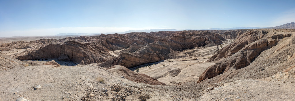 Truckhaven TrailHiking · ~51 min drivePhoto: RuggyBearLA, CC BY 2.0 (via Flickr)
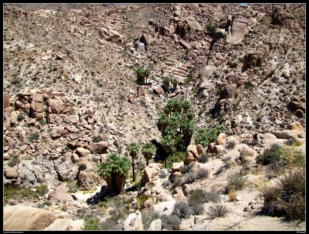 Lost Palms Oasis TrailHiking · ~25 min drivePhoto: ondraposp, CC BY-SA 2.0 (via Flickr)
Also worth it near here
- Canyon SpringHot spring · ~3 min drive
- Bradshaw TrailScenic drive · ~15 min drive
 Pinto BasinRock climbing · ~27 min drivePhoto: aboutmytripdotcom, CC BY 2.0 (via Flickr)
 Cottonwood CampgroundCamping · ~30 min drivePhoto: Robb Hannawacker, while working for Joshua Tree National Park, Public domain (via Wikimedia Commons)
Best time to visit Red Canyon Trail
Best months: November–April. Best months have typical highs of 55–85 °F, lows of 30 °F or warmer (32 °F where the station doesn't record snow), at most one snowy day and no more than 12 wet days.
Jan
66° / 40°
Feb
67° / 42°
Mar
75° / 46°
Apr
83° / 51°
May
89° / 58°
Jun
99° / 66°
Jul
103° / 74°
Aug
101° / 75°
Sep
96° / 68°
Oct
86° / 56°
Nov
74° / 46°
Dec
64° / 40°
Typical high / low (°F) and days with rain or snow, 1991–2020. Measured at Chiriaco Summit, CA, 9.7 mi away at 1,706 ft. This station doesn't record snowfall. Source: NOAA NCEI U.S. Climate Normals 1991–2020.
Map and trail data © OpenStreetMap contributors
