Pipes Canyon Trail Camp
Campground
Campground · 5.0 mi from the trail
Pipes Canyon Trail is an easy out-and-back hike in Pioneertown Mountains Preserve, a preserve managed by a non-governmental organization in California. The trail is about 3 miles long, with a total climb of about 500 feet, and it starts at roughly 4,800 feet. The route is back-loaded, meaning the steepest part comes early, with a 7% grade at about 0.4 miles in. Spring and fall are the most comfortable times to go. Typical averages from a nearby weather station at Yucca Mesa show April highs around 73°F and October highs around 80°F, while July and August average about 96°F. That station sits well below the trail, so temperatures on the preserve run cooler. Indian Springs Trail and Chaparrosa Peak Trail are both within about a mile and a half, and Orange Trail is about 1.8 miles away. For an overnight stay, Juniper Springs Group Camp is about 9 miles off.
Pipes Canyon Trail Camp
Campground
Willie Boy's Saloon
Bar
 If it rainsTed Rufus Ross, CC BY 2.5 · Wikimedia Commons
Aerospace museum in Palm Springs, California
Places © OpenStreetMap contributors · Photos: Ted Rufus Ross, CC BY 2.5 (commons)
More in Desert Hot Springs Juniper Springs Group CampCampingPhoto: Recreation.gov (RIDB) / public domain9 mi
Source: Roamze catalog (indexable pages within 10 miles, PostGIS distance)
 Chaparrosa Spring Loop EastHiking · ~6 min drivePhoto: _foam, CC BY-SA 2.0 (via Flickr)
 Big Morongo Canyon TrailHiking · ~15 min drivePhoto: bdearth, CC BY 2.0 (via Flickr)
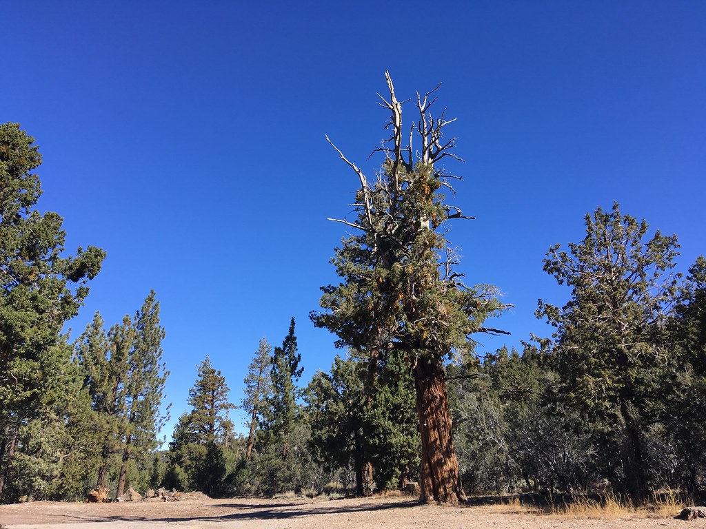 PCT Section 21Hiking · ~16 min drivePhoto: sergei.gussev, CC BY 2.0 (via Flickr)
 Kickapoo TrailHiking · ~11 min drivePhoto: Clinton Steeds, CC BY 2.0 (via Flickr)
 Wildhorse TrailHiking · ~19 min drivePhoto: InSapphoWeTrust from Los Angeles, California, USA, CC BY-SA 2.0 (via Wikimedia Commons)
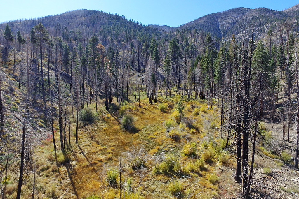 Fish CreekHiking · ~20 min drivePhoto: Vahe Martirosyan, CC BY-SA 2.0 (via Flickr)Desert Willow TrailHiking · ~14 min drivePhoto: bdearth, CC BY 2.0 (via Flickr)
Best months: October–May. Best months have typical highs of 55–85 °F, lows of 30 °F or warmer (32 °F where the station doesn't record snow), at most one snowy day and no more than 12 wet days.
Jan
58° / 42°
Feb
61° / 42°
Mar
68° / 44°
Apr
73° / 49°
May
82° / 55°
Jun
92° / 63°
Jul
96° / 70°
Aug
96° / 70°
Sep
89° / 64°
Oct
80° / 55°
Nov
66° / 45°
Dec
58° / 38°
Typical high / low (°F) and days with rain or snow, 1991–2020. Measured at Yucca Mesa, CA, 10.1 mi away at 3,445 ft. The station sits about 1,300 ft lower than this place, so expect it a little cooler here. This station doesn't record snowfall. Source: NOAA NCEI U.S. Climate Normals 1991–2020.
Map and trail data © OpenStreetMap contributors


