Pilot's Reach Trail
 Photo: btwashburn, CC BY 2.0 (via Flickr)
- 0.3 mi
- round trip
- 190 ft
- climb
- 332 ft
- high point
- Out and back
- route
- Jan–Dec
- best months
Pilot's Reach Trail is a short, easy hike in California, about a mile from the town of Valley Crossing. The trail is an out-and-back, roughly 0.6 miles long, with a total climb of about 190 feet and a steepest stretch of about 18% grade near the start. The route is back-loaded, so the climb is more pronounced on the way out than on the way back. The most comfortable months for a visit are late summer into early fall, when typical averages from the nearby Ft Ross weather station run from highs around 67°F in August and September to about 66°F in October, with lows in the upper 40s. That station sits about 220 feet lower than the trail, so temperatures on the trail run a little cooler. Several other trails start close by, including Airstrip Trail about 0.3 miles away and Spring Meadow Trail and Fire Break trail each about 0.4 miles away. For paddling, Buckeye Creek is about 4.6 miles off.
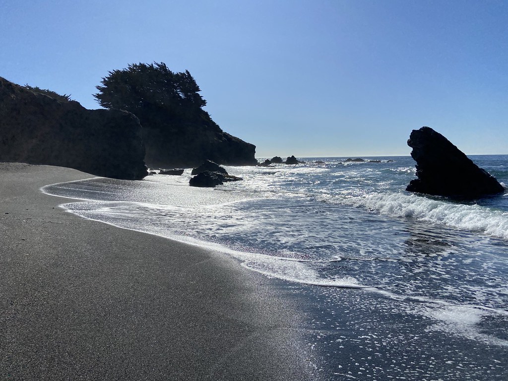 Airstrip TrailHikingPhoto: btwashburn, CC BY 2.0 (via Flickr)0.3 mi
- Spring Meadow TrailHikingPhoto: btwashburn, CC BY 2.0 (via Flickr)0.4 mi
- Fire Break trailHikingPhoto: btwashburn, CC BY 2.0 (via Flickr)0.4 mi
- Buckeye CreekCanoeing4.6 mi
- North Fork Gualala RiverCanoeing7.9 mi
- Wheatfield Fork Gualala RiverCanoeing8.5 mi
- Shipwreck WallRock climbing8.6 mi
- The Treasure ChestRock climbing8.6 mi
Source: Roamze catalog (indexable pages within 10 miles, PostGIS distance)
- Airstrip TrailHiking · Next doorPhoto: btwashburn, CC BY 2.0 (via Flickr)
 Bluff TrailHiking · ~17 min drivePhoto: Dheera Venkatraman, CC BY-SA 3.0 (via Wikimedia Commons)
- Spring Meadow TrailHiking · Next doorPhoto: btwashburn, CC BY 2.0 (via Flickr)
- Stump Beach TrailHiking · ~17 min drivePhoto: Dheera Venkatraman, CC BY-SA 3.0 (via Wikimedia Commons)
- Fire Break trailHiking · Next doorPhoto: btwashburn, CC BY 2.0 (via Flickr)
- Chapel TrailHiking · ~5 min drive
- Hot Spot Loop TrailHiking · Next doorPhoto: btwashburn, CC BY 2.0 (via Flickr)
- North TrailHiking · ~18 min drive
- Fernwood TrailHiking · Next doorPhoto: btwashburn, CC BY 2.0 (via Flickr)
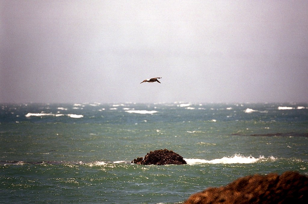 Sea Meadow TrailHiking · Next doorPhoto: wbaiv, CC BY-SA 2.0 (via Flickr)
Best time to visit Pilot's Reach Trail
Best months: Year-round. Best months have typical highs of 55–85 °F, lows of 30 °F or warmer (32 °F where the station doesn't record snow), at most one snowy day and no more than 12 wet days.
Jan
57° / 42°
Feb
59° / 42°
Mar
59° / 42°
Apr
60° / 43°
May
62° / 45°
Jun
66° / 46°
Jul
65° / 48°
Aug
67° / 50°
Sep
67° / 48°
Oct
66° / 47°
Nov
61° / 44°
Dec
57° / 42°
Typical high / low (°F) and days with rain or snow, 1991–2020. Measured at Ft Ross, CA, 16.4 mi away at 112 ft. This station doesn't record snowfall. Source: NOAA NCEI U.S. Climate Normals 1991–2020.

Map and trail data © OpenStreetMap contributors
