Buckeye Creek
- 15.5 mi
- distance
- 802 ft
- high point
- Feb–May, Oct–Dec
- best months
Buckeye Creek is a paddling spot in California's Buckeye Forest, managed by a non-governmental organization and set about 15 miles from the nearest town. The forest is the land unit that holds the creek. Spring and fall are the most comfortable seasons for a paddle. Typical averages from the nearby Cloverdale weather station show May highs around 82°F and October highs around 81°F, while July and August average in the low 90s. The station sits about 400 feet lower than the creek, so temperatures on the water run slightly cooler. For more paddling, the Wheatfield Fork Gualala River is about 6 miles away and the North Fork Gualala River about 7 miles. Hikers can reach the Hot Spot Loop Trail and Fernwood Trail, both within roughly 4 miles.
Local outfitters
- Watertreks25 mi away
- River's Edge Kayak and Canoe29 mi away
Not on Roamze yet. Their page has how to reach them.
 Hot Spot Loop TrailHikingPhoto: btwashburn, CC BY 2.0 (via Flickr)4.2 mi
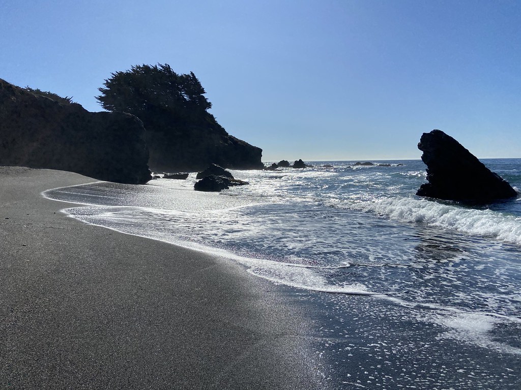 Fernwood TrailHikingPhoto: btwashburn, CC BY 2.0 (via Flickr)4.3 mi
- Airstrip TrailHikingPhoto: btwashburn, CC BY 2.0 (via Flickr)4.4 mi
- Ridge TrailHiking4.4 mi
- Spring Meadow TrailHikingPhoto: btwashburn, CC BY 2.0 (via Flickr)4.5 mi
- Wheatfield Fork Gualala RiverCanoeing6.1 mi
- North Fork Gualala RiverCanoeing6.8 mi
- Galloway CreekCanoeing8.9 mi
Source: Roamze catalog (indexable pages within 10 miles, PostGIS distance)
 Austin CreekCanoeing · ~34 min drivePhoto: Stepheng3, Public domain (via Wikimedia Commons)
- Harbor seal pupping areaBoat launch · ~11 min drive
 Navarro RiverCanoeing · ~39 min drivePhoto: Clinton Steeds from Los Angeles, USA, CC BY 2.0 (via Wikimedia Commons)
- Yorty Creek Boat LaunchBoat launch · ~28 min drive
 Atascadero CreekCanoeing · ~1h 2m drivePhoto: Eugene Kim from San Francisco, USA, CC BY 2.0 (via Wikimedia Commons)
- Boat DockBoat launch · ~33 min drive
 Mark West CreekCanoeing · ~1h 5m drivePhoto: Stepheng3 at English Wikipedia, Public domain (via Wikimedia Commons)
- End of Mark West Creek Kayaking RunBoat launch · ~1h 6m drive
 Albion RiverCanoeing · ~1h 6m drivePhoto: David Eppstein, CC BY-SA 3.0 (via Wikimedia Commons)
- Wheatfield Fork Gualala RiverCanoeing · ~10 min drive
Best time to visit Buckeye Creek
Best months: February–May and October–December. Best months have typical highs of 55–85 °F, lows of 30 °F or warmer (32 °F where the station doesn't record snow), at most one snowy day and no more than 12 wet days.
Jan
60° / 38°
13 wet
Feb
63° / 40°
11 wet
Mar
68° / 42°
10 wet
Apr
74° / 45°
7 wet
May
82° / 50°
4 wet
Jun
89° / 54°
1 wet
Jul
94° / 55°
0 wet
Aug
93° / 55°
0 wet
Sep
90° / 54°
1 wet
Oct
81° / 49°
4 wet
Nov
67° / 42°
8 wet
Dec
59° / 38°
12 wet
Typical high / low (°F) and days with rain or snow, 1991–2020. Measured at Cloverdale, CA, 18.8 mi away at 400 ft. Source: NOAA NCEI U.S. Climate Normals 1991–2020.

