Panther Meadows
 Photo: Pacific Southwest Region 5, Public domain (via Wikimedia Commons)
- 1.3 mi
- round trip
- 260 ft
- climb
- 7,741 ft
- high point
- Out and back
- route
Is Panther Meadows open right now?
Closure in the area
There's a closure order in Shasta-Trinity National Forest. It doesn't name Panther Meadows, so check the source for the area it covers (2 listed).
Mud and Ash Creek Area and Road Closure
Agency closure covering Shasta-Trinity National Forest · Order 14-26-13 · USFS · Shasta-Trinity National Forest
Road Closure on Wild Mad Road
Agency closure covering Shasta-Trinity National Forest · Order 14-25-09 · USFS · Shasta-Trinity National Forest
Bailey Cove Road Closure Order
Agency alert covering Shasta-Trinity National Forest · Order 14-25-11 · USFS · Shasta-Trinity National Forest
Trout Creek Bridge Closure Order
Agency alert covering Shasta-Trinity National Forest · Order 14-26-02 · USFS · Shasta-Trinity National Forest
South Fork Suspension Bridge Closure
Agency alert covering Shasta-Trinity National Forest · Order 14-25-30 · USFS · Shasta-Trinity National Forest
As of · Source: USFS · Shasta-Trinity National Forest. Agencies don't list every closure — check before you go.
Panther Meadows is an easy hike of about 1.3 miles in the Mt. Shasta Ranger District of Shasta-Trinity National Forest in California, managed by the Forest Service. The trail is an out-and-back with a one-way climb of about 260 feet, from a low point of roughly 7,465 feet to a high of about 7,741 feet. The trail is natural-surfaced and allows bikes, so it works for hikers and riders alike. Panther Meadows Campground sits about 0.1 mile away, and the Gray Butte Trail and Gray Butte hikes are also close by. Mount Shasta, a mountaineering destination, is about 2.4 miles away, and Panther Creek, a canoeing spot, is about 4 miles off.
Keep exploring — more trails worth the drive
Photo: Pacific Southwest Region 5, Public domain (via Wikimedia Commons)Gray Butte
Next door
1.33-mile out-and-back trail at Gray Butte in California with 600 ft of elevation gain.
 Photo: Moo.The.Cow, CC BY 2.0 (via Flickr)
Green Butte
Next door
Green Butte is a 4.13-mile out-and-back trail in California with 1,798 feet of elevation gain.
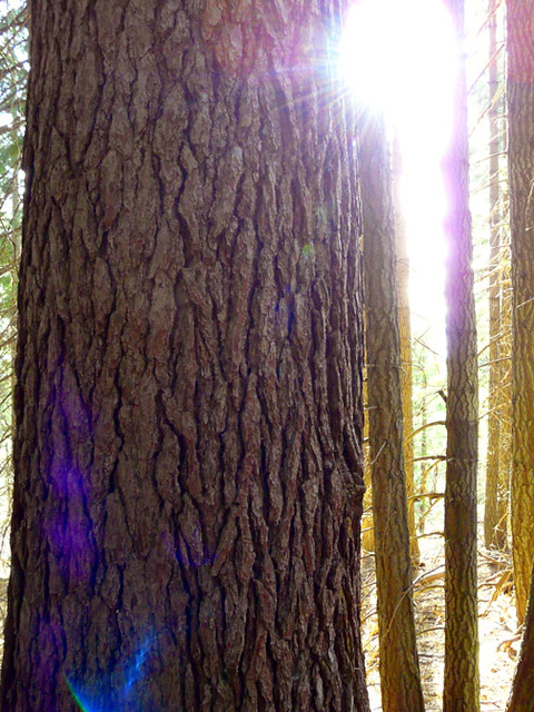 Photo: deanetr, CC BY 2.0 (via Flickr)
Muirs Ascension
~7 min drive
Moderate 6.37-mile climb with 1,503 ft elevation gain.
Photo: Pacific Southwest Region 5, Public domain (via Wikimedia Commons)South Gate Meadow Trail (Stewart Trail)
Next door
2.1-mile out-and-back hike in California with 742 ft elevation gain and loss.
 Photo: wikiphotographer, CC BY-SA 2.0 (via Flickr)
Snow Bunny Trail (Stewart Trail)
~3 min drive
4.18-mile out-and-back trail in California with 1,688 ft elevation gain and loss.
 Photo: Misshaleyrobinson, CC BY-SA 4.0 (via Wikimedia Commons)
Gateway
~10 min drive
12.92-mile out-and-back trail in California with 1,107 ft elevation gain.
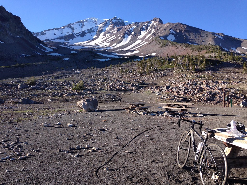 Photo: alexik, CC BY-SA 2.0 (via Flickr)
Gray Butte-The Gate Trail
Next door
1.66-mile out-and-back hike in California with 651 ft elevation gain
Photo: wikiphotographer, CC BY-SA 2.0 (via Flickr)Horse Camp Trail (Sisson's Trail) NO DOGS
~3 min drive
0.98-mile out-and-back trail in California with 684 ft gain and 7,895 ft max elevation.
HIKE
Clear Creek Climbing Route (Stewart Trail)
~5 min drive
4.66-mile out-and-back climb in California with 5,223 ft gain/loss and 13,967 ft max elevation
 Photo: Moo.The.Cow, CC BY 2.0 (via Flickr)
South Gate Meadows Trail (Stewart Trail)
~2 min drive
1.5-mile out-and-back hike in California with 688 ft gain

