Black Rock Campground
Campground
Sites open the weekend of Nov 27 on Recreation.gov
 Photo: lamblukas, CC BY 2.0 (via Flickr)
Alert in the area
The National Park Service lists 2 alerts for Joshua Tree National Park.
Inaccurate Third-Party Apps
Park alert covering Joshua Tree National Park · NPS · Joshua Tree National Park
Oasis of Mara Trail Partial Closure
Park alert covering Joshua Tree National Park · NPS · Joshua Tree National Park
As of · Source: NPS · Joshua Tree National Park. Agencies don't list every closure — check before you go.
Panorama Loop/Morongo View Trail is a 2.5-mile hike in Joshua Tree National Park, within the Joshua Tree Wilderness in California. The National Park Service manages the land, and the route rises from about 4,580 feet to about 5,140 feet, with a total elevation gain of 682 feet. The trail is rated easy, and the climb is spread out over the course of the hike, with the steepest stretch at about 1.5 miles in, where the grade reaches 29 percent. The trail makes a good pairing with other outings in the area. Black Rock Canyon Trail starts just 0.3 miles away, and Nolinas - Not Yuccas and Tortoise Crossing are both about 1.3 miles off. For an overnight stay, Black Rock Campground is about 1.6 miles away.
Black Rock Campground
Campground
 If it rainsJarek Tuszyński, CC BY 3.0 · Wikimedia Commons
Places © OpenStreetMap contributors · Photos: Jarek Tuszyński, CC BY 3.0 (commons)
More in Desert Hot Springs Black Rock Canyon TrailHikingPhoto: mojoaxel, CC BY-SA 2.0 (via Flickr)0.3 mi
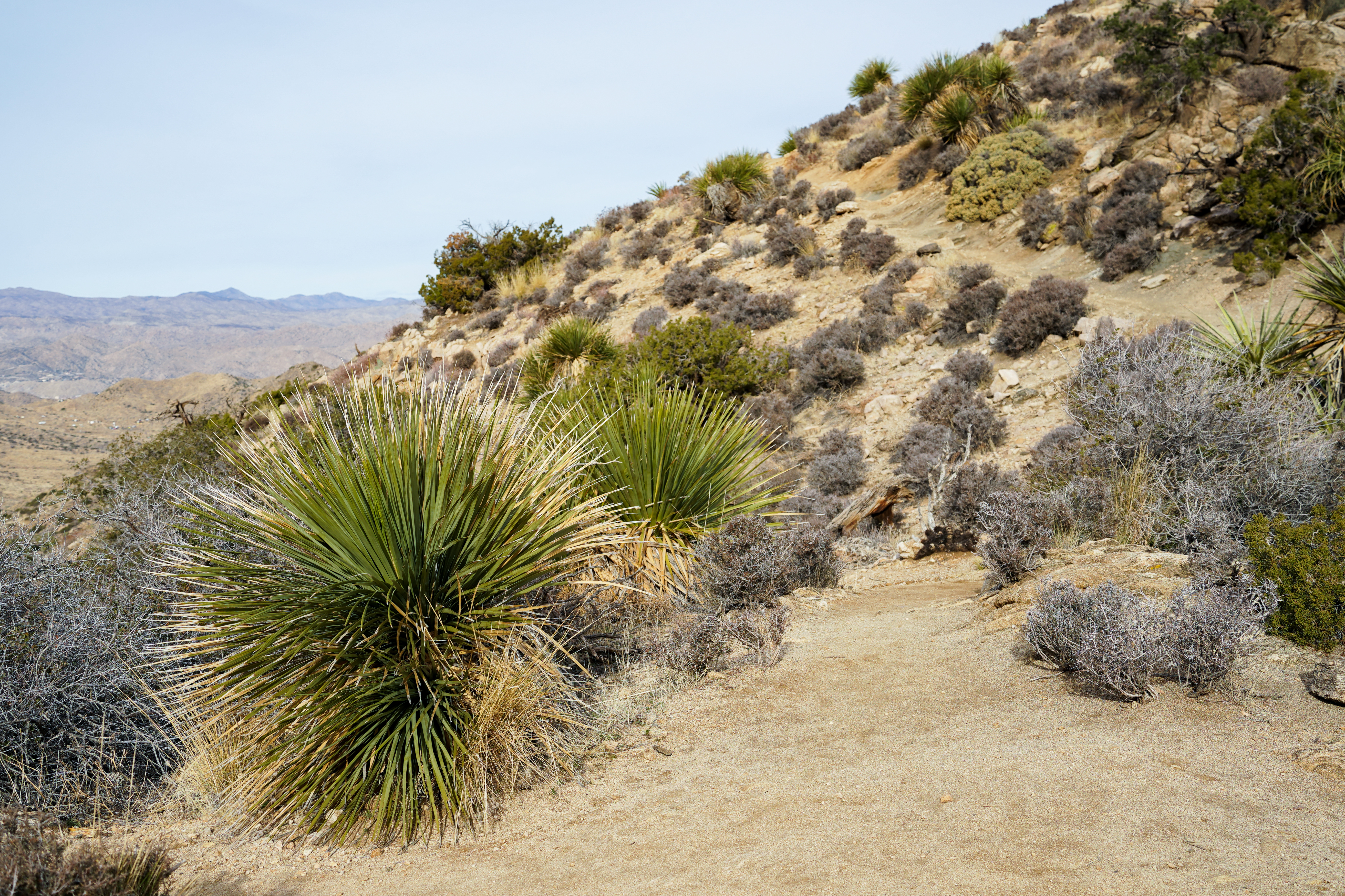 Nolinas - Not YuccasHikingPhoto: NPS/Samantha Laarman1.3 mi
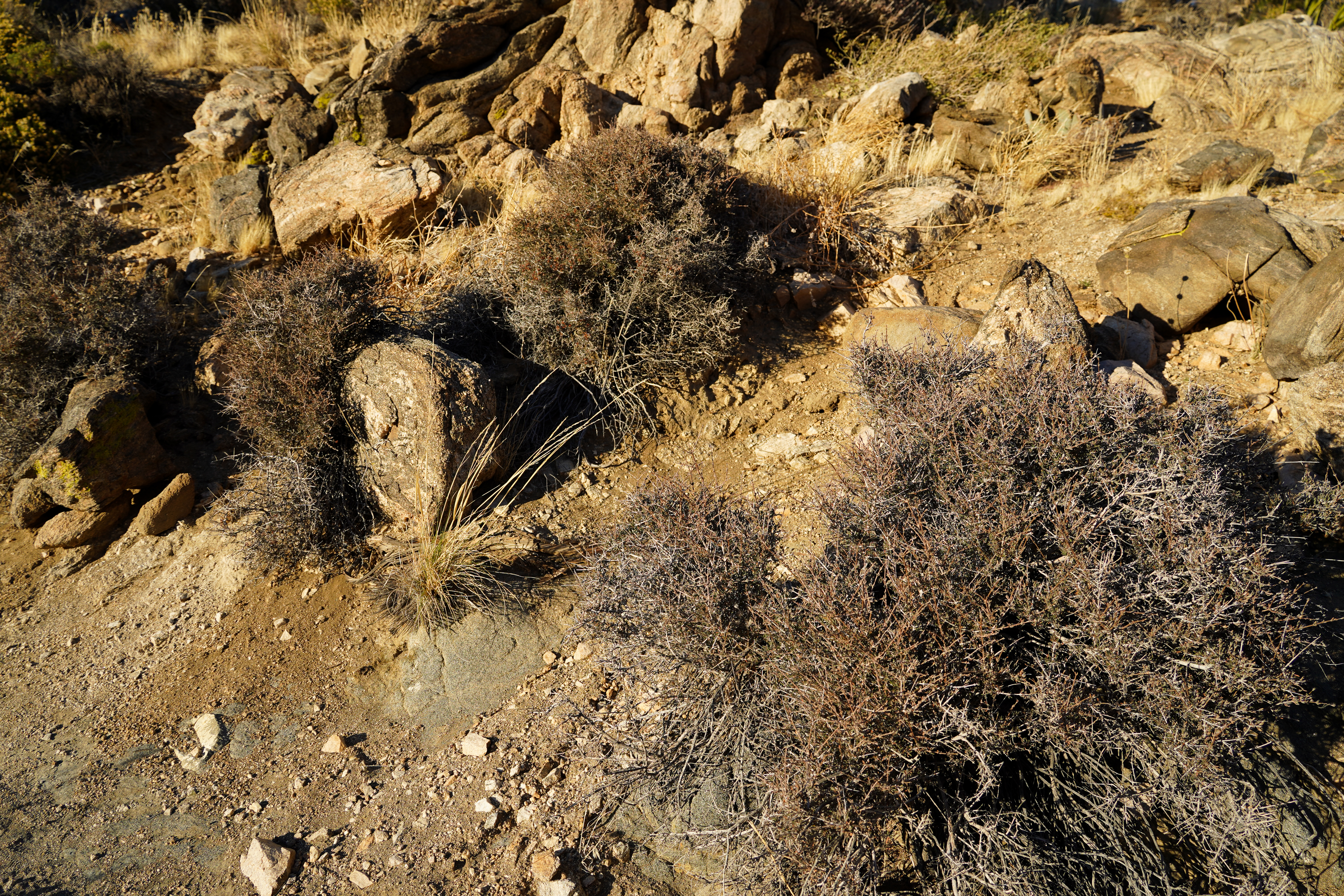 Tortoise CrossingHikingPhoto: NPS/Samantha Laarman1.3 mi
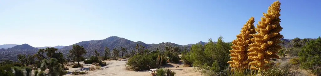 Black Rock CampgroundCampingPhoto: Recreation.gov (RIDB) / public domain1.6 mi
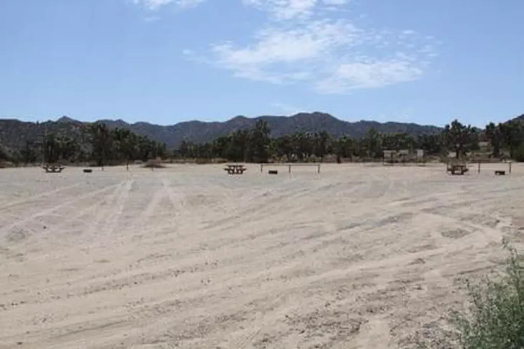 Black Rock Equestrian CampgroundCampingPhoto: Recreation.gov (RIDB) / public domain1.6 mi
Source: Roamze catalog (indexable pages within 10 miles, PostGIS distance)
Black Rock Canyon TrailHiking · Next doorPhoto: mojoaxel, CC BY-SA 2.0 (via Flickr) Burnt Hill TrailHiking · ~4 min drivePhoto: dret, CC BY-SA 2.0 (via Flickr)Bigfoot TrailHiking · ~5 min drivePhoto: dret, CC BY-SA 2.0 (via Flickr)
 West Side Loop TrailHiking · ~3 min drivePhoto: mojoaxel, CC BY-SA 2.0 (via Flickr)
Map and trail data © OpenStreetMap contributors


