Ocean Front Walk
- 0.3 mi
- round trip
- 13 ft
- climb
- 26 ft
- high point
- Out and back
- route
- Jan–Dec
- best months
Ocean Front Walk is a short, flat stroll along the California shoreline in Venice. The route is a 0.6-mile out-and-back that starts and ends at nearly the same elevation, with a total climb of just 13 feet and a maximum of 26 feet. It's rated easy, and the walk takes about half an hour. The nearest town is Venice, about 0.8 miles away, and the route pairs naturally with other walks in the area. Grand Canal Walk is 0.2 miles away, and Bill Burke Marina Walk Promenade is 0.9 miles off. Ballona Lagoon Marine Preserve Trail sits 1.2 miles away, and Channel Walk is 1.5 miles from the start. For the most comfortable weather, aim for late summer into early fall. Typical averages from a nearby weather station at Santa Monica Pier show highs around 70°F in August and September, with almost no wet days. Winter stays mild, with highs in the low 60s and only a few wet days a month.
- Grand Canal WalkHiking0.2 mi
- Bill Burke Marina Walk PromenadeHiking0.9 mi
- Ballona Lagoon Marine Preserve TrailHiking1.2 mi
- Channel WalkHiking1.5 mi
- UclaRock climbing6 mi
 Tick RockRock climbingPhoto: timatymusic, CC BY 2.0 (via Flickr)7.7 mi
- Main WallRock climbingPhoto: timatymusic, CC BY 2.0 (via Flickr)7.7 mi
- The Purple PyramidRock climbing9.5 mi
Source: Roamze catalog (indexable pages within 10 miles, PostGIS distance)
 LMU TrailHiking · ~7 min drivePhoto: Jengod, CC BY-SA 4.0 (via Wikimedia Commons)
 Will Rogers Loop TrailHiking · ~10 min drivePhoto: sergei.gussev, CC BY 2.0 (via Flickr)
 Rivas Canyon TrailHiking · ~10 min drivePhoto: 20BMIoCOM, CC BY 3.0 (via Wikimedia Commons)
- Temescal Canyon TrailHiking · ~11 min drivePhoto: 20BMIoCOM, CC BY 3.0 (via Wikimedia Commons)
 Betty Rogers TrailHiking · ~10 min drivePhoto: sergei.gussev, CC BY 2.0 (via Flickr)
 Park to Playa TrailHiking · ~11 min drivePhoto: Jengod, CC BY-SA 4.0 (via Wikimedia Commons)
- Park to Playa TrailHiking · ~10 min drivePhoto: Jengod, CC BY-SA 4.0 (via Wikimedia Commons)
 Sullivan Canyon TrailHiking · ~12 min drivePhoto: sergei.gussev, CC BY 2.0 (via Flickr)
 Horse TrailHiking · ~11 min drivePhoto: sergei.gussev, CC BY 2.0 (via Flickr)
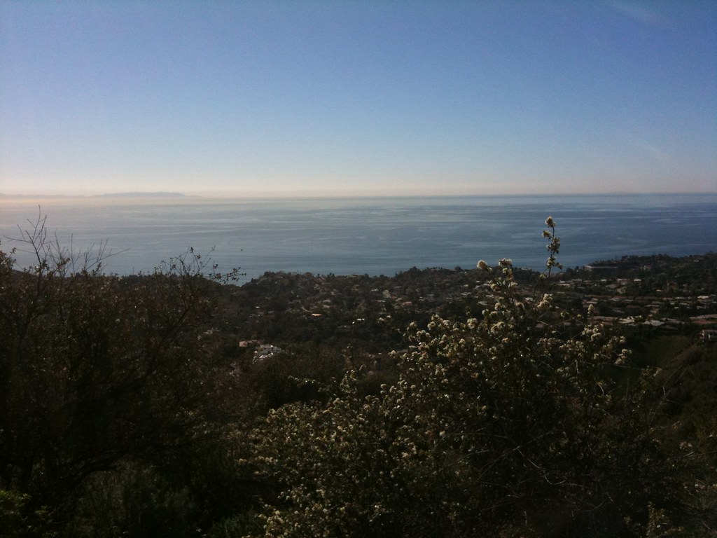 Rivas Ridge TrailHiking · ~12 min drivePhoto: Fotos_Ohio, CC BY 2.0 (via Flickr)
Best time to visit Ocean Front Walk
Best months: Year-round. Best months have typical highs of 55–85 °F, lows of 30 °F or warmer (32 °F where the station doesn't record snow), at most one snowy day and no more than 12 wet days.
Jan
62° / 50°
7 wet
Feb
62° / 50°
6 wet
Mar
62° / 52°
5 wet
Apr
63° / 53°
3 wet
May
63° / 56°
1 wet
Jun
66° / 59°
1 wet
Jul
69° / 62°
0 wet
Aug
70° / 62°
0 wet
Sep
70° / 61°
1 wet
Oct
68° / 58°
2 wet
Nov
67° / 54°
3 wet
Dec
63° / 50°
5 wet
Typical high / low (°F) and days with rain or snow, 1991–2020. Measured at Santa Monica Pier, CA, 2.4 mi away at 14 ft. Source: NOAA NCEI U.S. Climate Normals 1991–2020.

Map and trail data © OpenStreetMap contributors
