Ocean Front Walk
- 0.4 mi
- round trip
- 120 ft
- climb
- 40 ft
- high point
- Out and back
- route
- Jan–Dec
- best months
Ocean Front Walk is a short, easy outing in Santa Monica, California, about 0.7 miles from the center of town. The route is an out-and-back that covers roughly 0.7 miles, with a total elevation gain of about 120 feet. The walk starts at an elevation of about 26 feet and reaches a high point of about 40 feet before returning to the starting level. The trail is a steady climb, with the steepest stretch at about 0.29 miles in, where the grade reaches about 3 percent. The low point is at about 14 feet, and the whole trip takes about half an hour. Summer and early fall are the warmest and driest stretch. Typical averages from the nearby Santa Monica Pier weather station show highs around 70°F in August and September, with almost no wet days. Winter is cooler, with highs in the low 60s and about five to seven wet days a month. Nearby, the Grand Canal Walk is about 2.3 miles away and the Bill Burke Marina Walk Promenade about 3 miles. The Rustic Canyon Trail and Inspiration Loop Trail are both within about 3.3 miles.
- Grand Canal WalkHiking2.3 mi
- Bill Burke Marina Walk PromenadeHiking3 mi
- Rustic Canyon TrailHiking3.2 mi
- Inspiration Loop TrailHiking3.3 mi
- UclaRock climbing4.9 mi
 Tick RockRock climbingPhoto: timatymusic, CC BY 2.0 (via Flickr)5.3 mi
- Main WallRock climbingPhoto: timatymusic, CC BY 2.0 (via Flickr)5.3 mi
- The Purple PyramidRock climbing7.2 mi
Source: Roamze catalog (indexable pages within 10 miles, PostGIS distance)
 Betty Rogers TrailHiking · ~6 min drivePhoto: sergei.gussev, CC BY 2.0 (via Flickr)
 Rivas Canyon TrailHiking · ~6 min drivePhoto: 20BMIoCOM, CC BY 3.0 (via Wikimedia Commons)
- Temescal Canyon TrailHiking · ~7 min drivePhoto: 20BMIoCOM, CC BY 3.0 (via Wikimedia Commons)
 Will Rogers Loop TrailHiking · ~6 min drivePhoto: sergei.gussev, CC BY 2.0 (via Flickr)
 California Coastal TrailHiking · ~10 min drivePhoto: lolololori, CC BY-SA 2.0 (via Flickr)
 Sullivan Canyon TrailHiking · ~8 min drivePhoto: sergei.gussev, CC BY 2.0 (via Flickr)
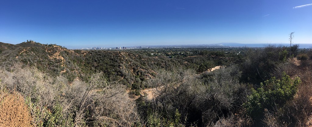 Beehive TrailHiking · ~7 min drivePhoto: sergei.gussev, CC BY 2.0 (via Flickr)
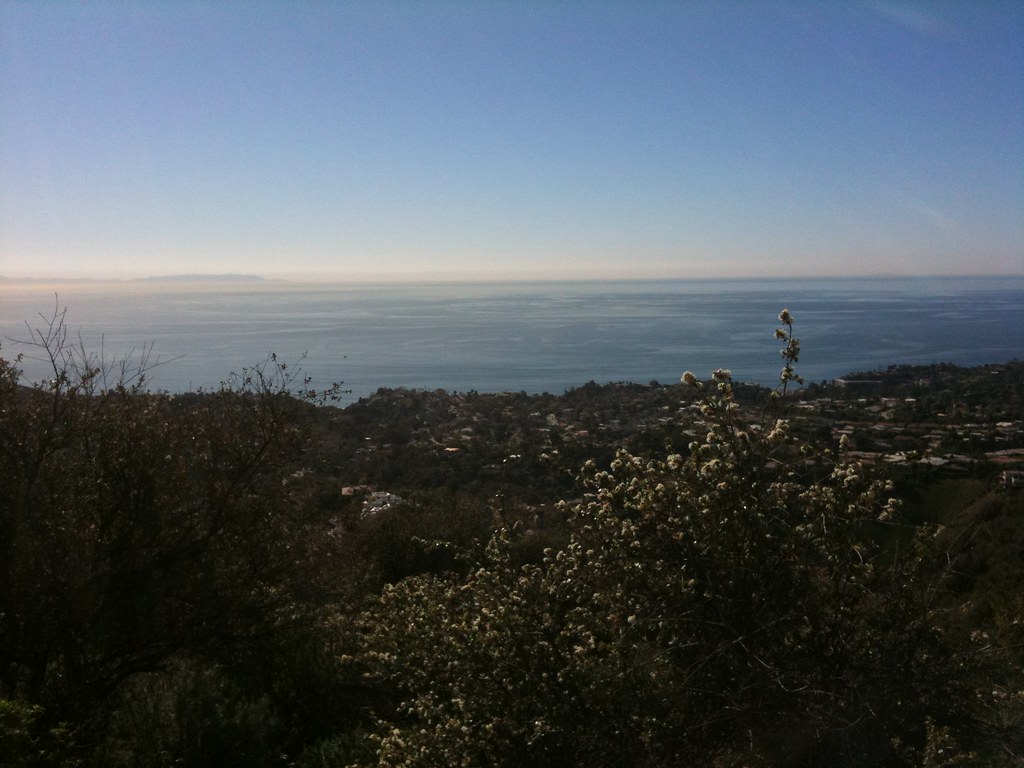 Rivas Ridge TrailHiking · ~8 min drivePhoto: Fotos_Ohio, CC BY 2.0 (via Flickr)
 Horse TrailHiking · ~7 min drivePhoto: sergei.gussev, CC BY 2.0 (via Flickr)
 Old Stables TrailHiking · ~9 min drivePhoto: jennsteria, CC BY 2.0 (via Flickr)
Best time to visit Ocean Front Walk
Best months: Year-round. Best months have typical highs of 55–85 °F, lows of 30 °F or warmer (32 °F where the station doesn't record snow), at most one snowy day and no more than 12 wet days.
Jan
62° / 50°
7 wet
Feb
62° / 50°
6 wet
Mar
62° / 52°
5 wet
Apr
63° / 53°
3 wet
May
63° / 56°
1 wet
Jun
66° / 59°
1 wet
Jul
69° / 62°
0 wet
Aug
70° / 62°
0 wet
Sep
70° / 61°
1 wet
Oct
68° / 58°
2 wet
Nov
67° / 54°
3 wet
Dec
63° / 50°
5 wet
Typical high / low (°F) and days with rain or snow, 1991–2020. Measured at Santa Monica Pier, CA, 0.3 mi away at 14 ft. Source: NOAA NCEI U.S. Climate Normals 1991–2020.

Map and trail data © OpenStreetMap contributors
