Oakwood Valley Trail
- 0.5 mi
- round trip
- 70 ft
- climb
- 119 ft
- high point
- Out and back
- route
- Oct–May
- best months
Oakwood Valley Trail is a short, easy out-and-back hike in California, about 2.8 miles from the town of Placer One. The route is just over a mile long, with a total elevation gain of about 70 feet, and it stays nearly flat for most of the way. The high point is about 119 feet, and the steepest stretch comes at roughly 0.46 miles in, with a grade of about 2 percent. Spring and fall are the most comfortable times to go. Typical averages from a nearby weather station in Sacramento show April highs around 72°F and October highs around 79°F, while July and August average in the low 90s. The trail makes an easy pairing with other outings in the area. Laurel Canyon Trail is just 0.2 miles away, and Pleasant Grove Creek Trail is about 0.9 miles off. For paddling, Dry Creek is roughly 4.8 miles away, and the climbing area at The Bucket Flake sits about 6.5 miles from the trail.
- Laurel Canyon TrailHiking0.2 mi
- Pleasant Grove Creek TrailHiking0.9 mi
- Dry CreekCanoeing4.8 mi
- Peaches TrailHiking5.3 mi
- The Bucket FlakeRock climbing6.5 mi
- The BananaRock climbing6.5 mi
- The NookRock climbing6.5 mi
- Steelhead CreekCanoeing9.3 mi
Source: Roamze catalog (indexable pages within 10 miles, PostGIS distance)
 Sacramento Northern Bike TrailHiking · ~18 min drivePhoto: UncleVinny, CC BY 3.0 (via Wikimedia Commons)
 Interpretive TrailHiking · ~18 min drivePhoto: UncleVinny, CC BY 3.0 (via Wikimedia Commons)
 Pioneer Express TrailHiking · ~20 min drivePhoto: UncleVinny, CC BY 3.0 (via Wikimedia Commons)
 American River FootpathHiking · ~21 min drivePhoto: UncleVinny, CC BY 3.0 (via Wikimedia Commons)
 Jedi TrailHiking · ~21 min drivePhoto: UncleVinny, CC BY 3.0 (via Wikimedia Commons)
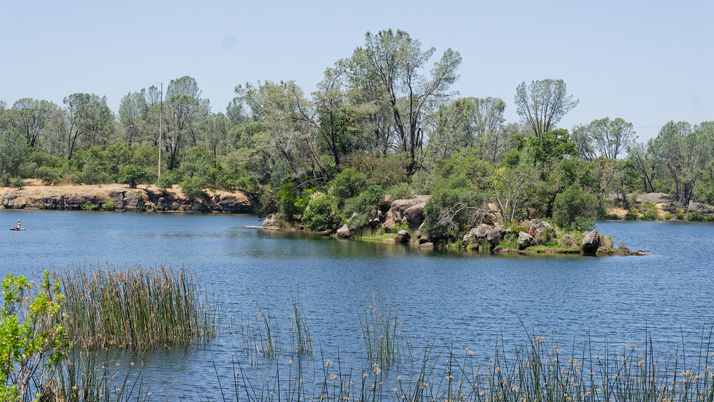 Pine Edge PathHiking · ~21 min drivePhoto: mlcastle, CC BY-SA 2.0 (via Flickr)
- Nature TrailHiking · ~21 min drivePhoto: UncleVinny, CC BY 3.0 (via Wikimedia Commons)
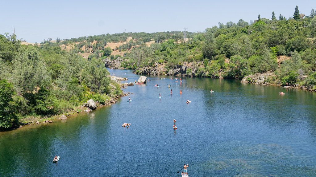 Welldale TrailHiking · ~21 min drivePhoto: mlcastle, CC BY-SA 2.0 (via Flickr)
 Decicos PathHiking · ~21 min drivePhoto: UncleVinny, CC BY 3.0 (via Wikimedia Commons)
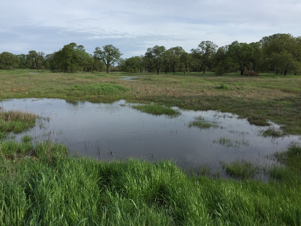 Shady TrailHiking · ~21 min drivePhoto: ray_explores, CC BY 2.0 (via Flickr)
Best time to visit Oakwood Valley Trail
Best months: October–May. Best months have typical highs of 55–85 °F, lows of 30 °F or warmer (32 °F where the station doesn't record snow), at most one snowy day and no more than 12 wet days.
Jan
55° / 38°
12 wet
Feb
60° / 40°
10 wet
Mar
66° / 43°
10 wet
Apr
72° / 46°
6 wet
May
81° / 51°
3 wet
Jun
89° / 56°
1 wet
Jul
94° / 59°
0 wet
Aug
92° / 58°
0 wet
Sep
88° / 55°
1 wet
Oct
79° / 48°
4 wet
Nov
64° / 41°
10 wet
Dec
55° / 37°
12 wet
Typical high / low (°F) and days with rain or snow, 1991–2020. Measured at Sacramento Metro Ap, CA, 13.8 mi away at 23 ft. This station doesn't record snowfall. Source: NOAA NCEI U.S. Climate Normals 1991–2020.
Map and trail data © OpenStreetMap contributors
