Sacramento Northern Bike Trail
 Photo: UncleVinny, CC BY 3.0 (via Wikimedia Commons)
- 0.5 mi
- round trip
- 28 ft
- climb
- 48 ft
- high point
- Out and back
- route
- Oct–May
- best months
The Sacramento Northern Bike Trail is a short, easy walk in California, about half a mile from the town of Robla. The route is an out-and-back that covers roughly 0.9 miles, with a total climb of about 28 feet and a total descent of the same. The trail is flat, and the elevation change is so small that it makes little difference to the pace. Spring and fall are the most comfortable times to go. Typical averages from a nearby weather station in Sacramento show April highs around 73°F and October highs around 79°F, while July and August average about 94°F. Several other outings sit within a few miles. The Terracina Walking Path is about 3 miles away, and Steelhead Creek offers canoeing at a similar distance. The Levee Path is about 3.5 miles off, and Cal Expo RV Park is about 4.4 miles away for anyone planning an overnight stay.
- terracina walking pathMountain biking3.2 mi
- Steelhead CreekCanoeing3.4 mi
- Levee PathHiking3.5 mi
- Cal Expo RV ParkCamping4.4 mi
- American River Bike TrailHiking4.6 mi
- Dry CreekCanoeing6.1 mi
Source: Roamze catalog (indexable pages within 10 miles, PostGIS distance)
 Levee PathHiking · ~11 min drivePhoto: ray_explores, CC BY 2.0 (via Flickr)
- Levee PathHiking · ~12 min drive
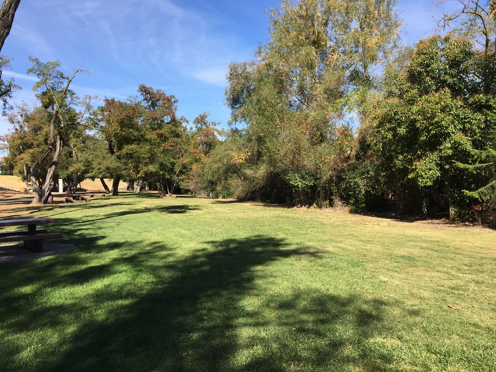 American River Levee PathHiking · ~11 min drivePhoto: ray_explores, CC BY 2.0 (via Flickr)
 Levee PathHiking · ~11 min drivePhoto: ray_explores, CC BY 2.0 (via Flickr)
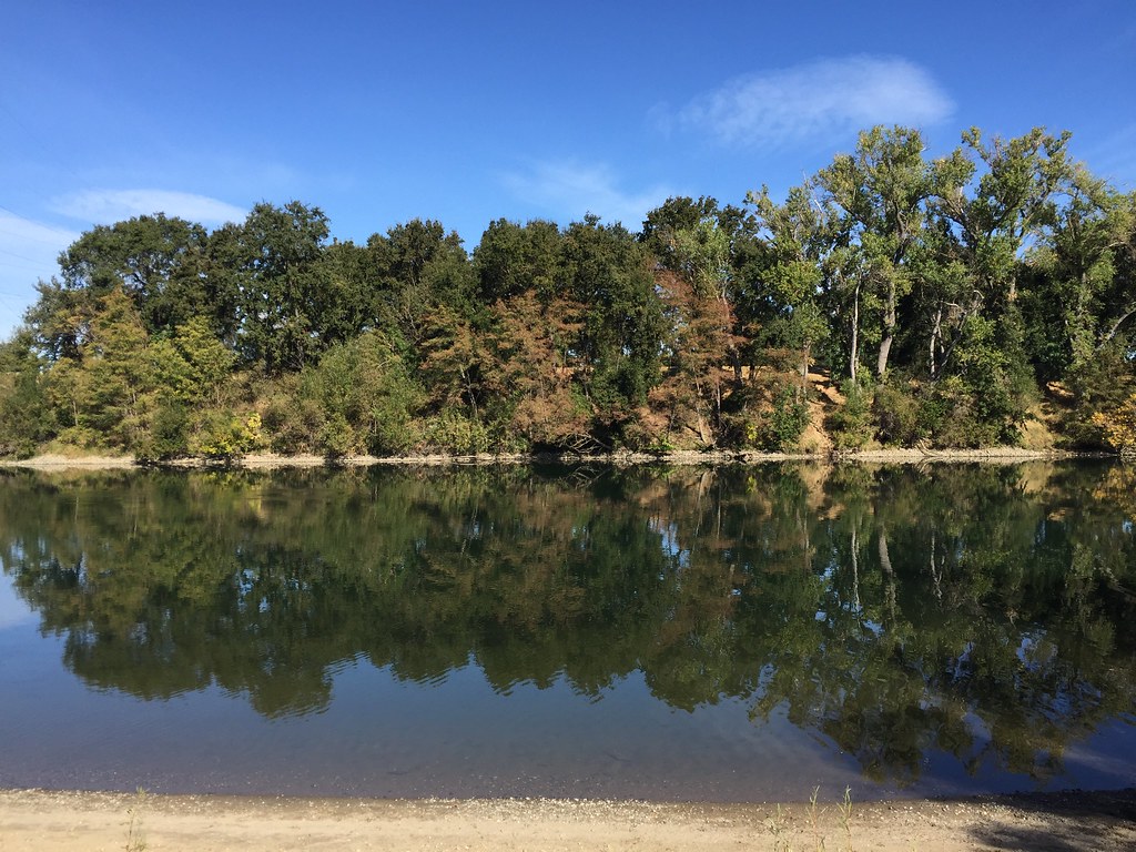 American River Levee PathHiking · ~11 min drivePhoto: ray_explores, CC BY 2.0 (via Flickr)
 Rancho Rio De Los Americanos TrailHiking · ~13 min drivePhoto: Amelia Tauber, CC BY 4.0 (via Wikimedia Commons)
 Clarksburg PathHiking · ~15 min drivePhoto: Orin Zebest, CC BY 2.0 (via Flickr)
 Opened Levee PathHiking · ~17 min drivePhoto: UncleVinny, CC BY 3.0 (via Wikimedia Commons)
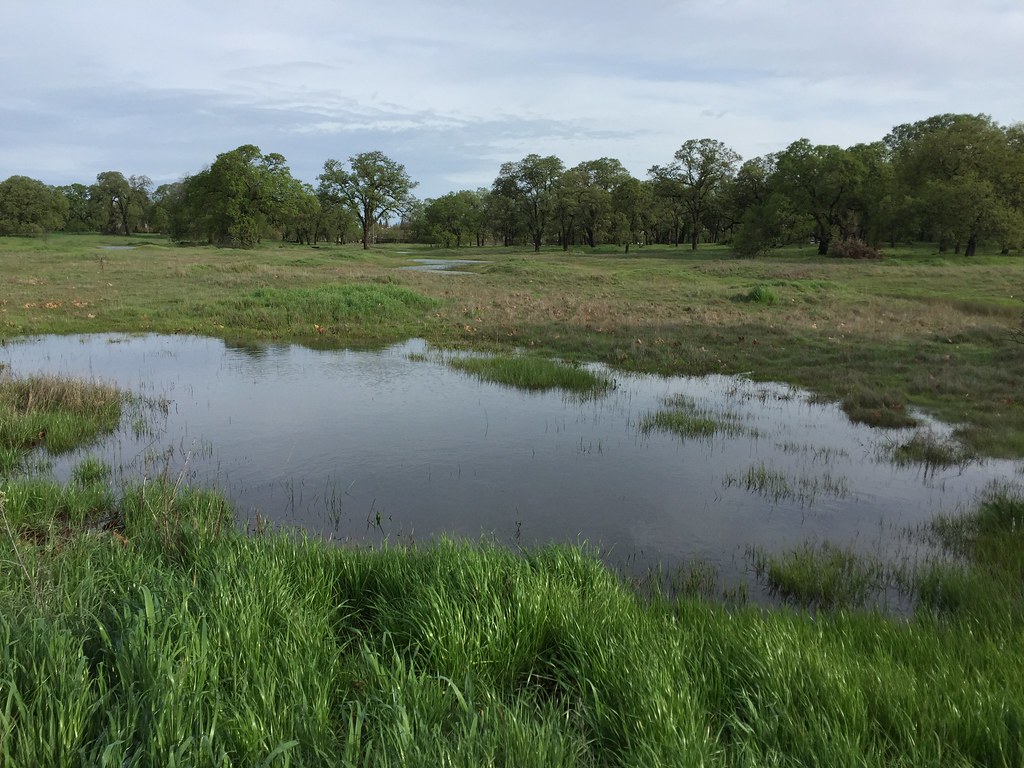 Shady TrailHiking · ~22 min drivePhoto: ray_explores, CC BY 2.0 (via Flickr)
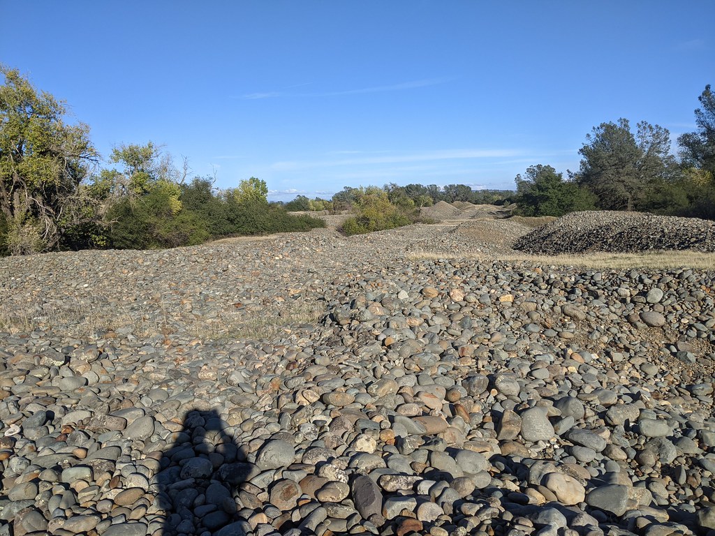 Fortune TrailHiking · ~22 min drivePhoto: vonguard, CC BY-SA 2.0 (via Flickr)
Best time to visit Sacramento Northern Bike Trail
Best months: October–May. Best months have typical highs of 55–85 °F, lows of 30 °F or warmer (32 °F where the station doesn't record snow), at most one snowy day and no more than 12 wet days.
Jan
57° / 41°
11 wet
Feb
62° / 44°
10 wet
Mar
68° / 47°
9 wet
Apr
73° / 49°
6 wet
May
81° / 54°
4 wet
Jun
89° / 59°
1 wet
Jul
94° / 61°
0 wet
Aug
94° / 61°
0 wet
Sep
89° / 59°
1 wet
Oct
79° / 53°
3 wet
Nov
65° / 45°
7 wet
Dec
56° / 41°
10 wet
Typical high / low (°F) and days with rain or snow, 1991–2020. Measured at Sacramento 5 Ese, CA, 6.5 mi away at 38 ft. Source: NOAA NCEI U.S. Climate Normals 1991–2020.
Map and trail data © OpenStreetMap contributors
