Group Camp
Campground
Campground · 7.7 mi from the trail
Northwest Shoreline Trail is a 1.5-mile moderate hike on city-managed land within Lake Hennessey, about 4.2 miles from Saint Helena, California. The trail runs out and back, with the total route about 3 miles long and a round-trip climb of roughly 1,300 feet. The climb is steady, with the steepest stretch at about 0.8 miles in, where the grade reaches 7 percent. The trail starts at an elevation of about 346 feet and reaches a high point near 420 feet. Spring and fall are the most comfortable times to go. Typical averages from the nearby Saint Helena weather station show May and October highs around 78°F with only a few wet days each month. July and August typically reach the high 80s with no rain, while winter brings the most wet days and the lowest highs in the 50s. Nearby, Conn Creek offers canoeing about a mile away, and the mountain biking routes Sam the Eagle and Old Man's Beard are about 1.6 miles off. The Napa River, a paddling spot, lies about 3 miles away.
Group Camp
Campground
Napa Valley Museum
Museum
Art and history museum in Yountville, California, U.S.A.
Places © OpenStreetMap contributors, Places © Overture Maps Foundation
More in TemelecNot on Roamze yet. Their page has how to reach them.
 Napa RiverCanoeingPhoto: Allen Lew (w:Flickr user enlewof), CC BY 2.0 (via Wikimedia Commons)2.9 mi
Source: Roamze catalog (indexable pages within 10 miles, PostGIS distance)
 Conn PeakHiking · ~3 min drivePhoto: Kurt Minard, CC BY-SA 3.0 (via Wikimedia Commons)Chiles CreekHiking · ~4 min drivePhoto: Kurt Minard, CC BY-SA 3.0 (via Wikimedia Commons)
 John Hoffnagle LoopHiking · ~12 min drivePhoto: Skyfirex, CC BY-SA 3.0 (via Wikimedia Commons)Whiskey RidgeHiking · ~4 min drivePhoto: Kurt Minard, CC BY-SA 3.0 (via Wikimedia Commons)
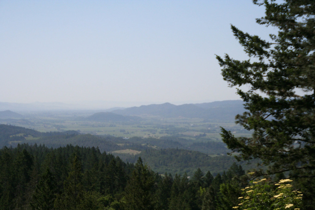 Old Sawmill TrailHiking · ~7 min drivePhoto: csitko, CC BY 2.0 (via Flickr)
 Vista TrailHiking · ~12 min drivePhoto: lamblukas, CC BY 2.0 (via Flickr)Linda Falls TrailHiking · ~8 min drivePhoto: Skyfirex, CC BY-SA 3.0 (via Wikimedia Commons)Gray Pine TrailHiking · ~12 min drivePhoto: lamblukas, CC BY 2.0 (via Flickr)Devil's Punchbowl TrailHiking · ~10 min drivePhoto: Skyfirex, CC BY-SA 3.0 (via Wikimedia Commons)Brushy Peaks TrailHiking · ~12 min drivePhoto: lamblukas, CC BY 2.0 (via Flickr)
Best months: February–June and October–December. Best months have typical highs of 55–85 °F, lows of 30 °F or warmer (32 °F where the station doesn't record snow), at most one snowy day and no more than 12 wet days.
Jan
59° / 40°
13 wet
Feb
63° / 42°
11 wet
Mar
67° / 44°
10 wet
Apr
72° / 46°
6 wet
May
78° / 50°
3 wet
Jun
85° / 54°
1 wet
Jul
89° / 56°
0 wet
Aug
89° / 56°
0 wet
Sep
87° / 54°
1 wet
Oct
78° / 49°
3 wet
Nov
66° / 44°
8 wet
Dec
58° / 40°
12 wet
Typical high / low (°F) and days with rain or snow, 1991–2020. Measured at Saint Helena, CA, 4.2 mi away at 225 ft. Source: NOAA NCEI U.S. Climate Normals 1991–2020.
Map and trail data © OpenStreetMap contributors
