Northeast Preserve Trail
- 0.4 mi
- round trip
- 76 ft
- climb
- 259 ft
- high point
- Out and back
- route
- Oct–May
- best months
The Northeast Preserve Trail is a short, easy hike in California, about 2 miles from the town of Lincoln. The route is an out-and-back of roughly 0.7 miles, with a total climb of about 76 feet and a steepest grade of about 4% near the middle of the trail. It's a flat, low-elevation walk, with the high point at about 259 feet and the low at about 224 feet. Spring and fall are the most comfortable times to go. Typical averages from a nearby weather station in Auburn show May and October highs around 77°F, while July and August average in the low 90s. That station sits about 1,000 feet lower than the trail, so temperatures on the preserve run cooler. Several other trails start close by. Elderberry Trail is about 0.2 miles away, Canyon Oaks Trail about 0.3 miles, and Fountain Hill Trail about 0.4 miles. Climbers can find Bayou (aka The Graveyard) about 6 miles off.
- Elderberry TrailHiking0.2 mi
- Canyon Oaks TrailHiking0.3 mi
- Fountain Hill TrailHiking0.4 mi
- Kingfisher TrailHiking0.7 mi
- The Bayou (aka The Graveyard)Rock climbing6 mi
- The Bucket FlakeRock climbing6 mi
- Children of the Night BoulderRock climbing6 mi
- Raccoon CreekCanoeing7.3 mi
Source: Roamze catalog (indexable pages within 10 miles, PostGIS distance)
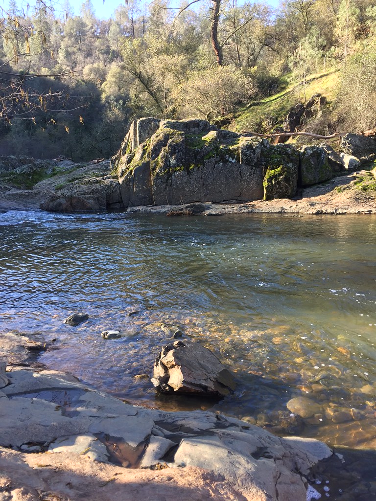 Mourning Dove TrailHiking · ~13 min drivePhoto: ray_explores, CC BY 2.0 (via Flickr)
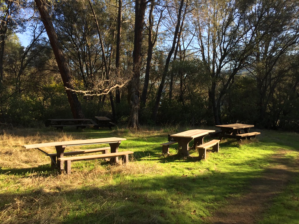 Pioneer Express TrailHiking · ~17 min drivePhoto: ray_explores, CC BY 2.0 (via Flickr)
- Grey Squirrel TrailHiking · ~13 min drive
- Gold Finch TrailHiking · ~13 min drivePhoto: ray_explores, CC BY 2.0 (via Flickr)
- Creekside TrailHiking · ~13 min drive
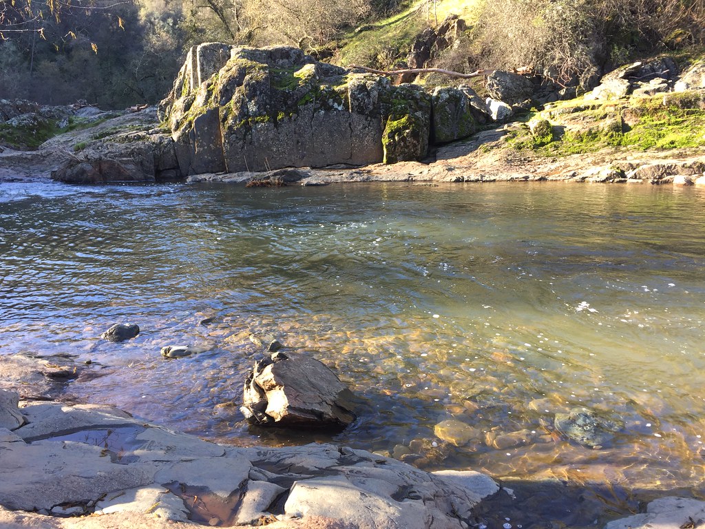 Cooper's Hawk TrailHiking · ~13 min drivePhoto: ray_explores, CC BY 2.0 (via Flickr)
- Golden Eagle LoopHiking · ~13 min drivePhoto: ray_explores, CC BY 2.0 (via Flickr)
- Pheasant TrailHiking · ~13 min drivePhoto: ray_explores, CC BY 2.0 (via Flickr)
 Deer TrailHiking · ~14 min drivePhoto: ray_explores, CC BY 2.0 (via Flickr)
- Ringtail TrailHiking · ~14 min drivePhoto: ray_explores, CC BY 2.0 (via Flickr)
Best time to visit Northeast Preserve Trail
Best months: October–May. Best months have typical highs of 55–85 °F, lows of 30 °F or warmer (32 °F where the station doesn't record snow), at most one snowy day and no more than 12 wet days.
Jan
56° / 38°
11 wet
Feb
59° / 40°
10 wet
Mar
63° / 42°
9 wet
Apr
68° / 45°
7 wet
May
77° / 52°
5 wet
Jun
86° / 58°
2 wet
Jul
93° / 63°
0 wet
Aug
92° / 63°
1 wet
Sep
87° / 60°
1 wet
Oct
77° / 52°
3 wet
Nov
64° / 43°
7 wet
Dec
56° / 37°
10 wet
Typical high / low (°F) and days with rain or snow, 1991–2020. Measured at Auburn, CA, 10.1 mi away at 1,292 ft. The station sits about 1,000 ft higher than this place, so expect it a little warmer here. This station doesn't record snowfall. Source: NOAA NCEI U.S. Climate Normals 1991–2020.
Map and trail data © OpenStreetMap contributors
