North Orr Creek Trail
- 0.6 mi
- round trip
- 230 ft
- climb
- 792 ft
- high point
- Out and back
- route
- Feb–Jun, Oct–Nov
- best months
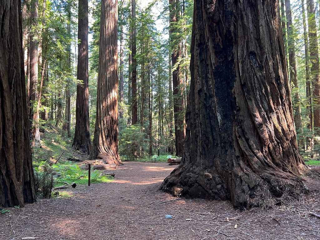
North Orr Creek Trail is an easy out-and-back hike in Low Gap Regional Park, on county land in California. It is a short walk of about 1.2 miles, with a total elevation gain of 230 feet, and the highest point on the route is 792 feet. The trail is front-loaded, with the steepest stretch at about 0.4 miles in, rising roughly 10% grade. Spring and fall are the most comfortable times to visit. Typical averages from a nearby weather station in Ukiah show May highs around 76°F and October highs around 77°F, with fewer wet days than the wetter winter months. The estimated time for the walk is about half an hour, and the trail is close to several other routes. City View Trail Access is about 0.2 miles away and Canyon Creek Trail about 0.3 miles away. City View Trail is about 0.7 miles away. For a longer outing, Ackerman Creek, a canoeing spot, lies about 3.3 miles away.
- City View Trail AccessHiking0.2 mi
- Canyon Creek TrailHiking0.3 mi
- City View TrailHiking0.7 mi
- Ackerman CreekCanoeing3.3 mi
- Chekaka Recreation Area Lake MendocinoCamping3.6 mi
- Robinson CreekCanoeing4.3 mi
- Mill CreekCanoeing4.7 mi
 Pomo Day Use AreaCampingPhoto: Recreation.gov (RIDB) / public domain5.6 mi
Source: Roamze catalog (indexable pages within 10 miles, PostGIS distance)
 Concrete Tank TrailHiking · ~10 min drivePhoto: V31S70, CC BY 2.0 (via Flickr)
 Trail 9 - Red Mountain (Blue/Blue/Green/Green)Hiking · ~17 min drivePhoto: blmcalifornia, Public domain (via Wikimedia Commons)
 Trail 14 - Panther Ridge (Blue/Black)Hiking · ~17 min drivePhoto: blmcalifornia, Public domain (via Wikimedia Commons)
- Trail 7 - Peeble Point (Blue/Blue/Black)Hiking · ~16 min drivePhoto: blmcalifornia, Public domain (via Wikimedia Commons)
- Valley View TrailHiking · ~12 min drive
- Trail 14 - Panther Ridge (Blue/Black)Hiking · ~15 min drive
 Montgomery TrailHiking · ~17 min drivePhoto: daveynin, CC BY 2.0 (via Flickr)
- Glen Eden TrailHiking · ~14 min drive
- Trail 1 - Campground Trail (Blue/Blue)Hiking · ~15 min drive
- Trail 7 (Blue/Blue/Black)Hiking · ~17 min drivePhoto: blmcalifornia, Public domain (via Wikimedia Commons)
Best time to visit North Orr Creek Trail
Best months: February–June and October–November. Best months have typical highs of 55–85 °F, lows of 30 °F or warmer (32 °F where the station doesn't record snow), at most one snowy day and no more than 12 wet days.
Jan
57° / 37°
13 wet
Feb
60° / 38°
12 wet
Mar
65° / 40°
11 wet
Apr
70° / 42°
8 wet
May
76° / 47°
5 wet
Jun
83° / 52°
2 wet
Jul
91° / 56°
0 wet
Aug
91° / 54°
0 wet
Sep
87° / 51°
1 wet
Oct
77° / 45°
4 wet
Nov
63° / 40°
10 wet
Dec
56° / 36°
13 wet
Typical high / low (°F) and days with rain or snow, 1991–2020. Measured at Ukiah, CA, 1.4 mi away at 636 ft. Source: NOAA NCEI U.S. Climate Normals 1991–2020.

Map and trail data © OpenStreetMap contributors
