Capitol Mountain Camp
Campground
Campground · 3.1 mi from the trail
Nob Hill Trail is a short, easy out-and-back hike in California, about 0.6 miles from the community of Twin Pines. The trail is roughly 1.3 miles long, with a total elevation gain of 364 feet, and it reaches a high point of 2,187 feet. The climb is front-loaded, with the steepest stretch at about 0.24 miles from the start, where the grade reaches 13 percent. The most comfortable months for a visit are typically May and October, when typical averages from a nearby weather station in Colfax run to highs around 74°F and 75°F, with only a handful of wet days. July and August are the hottest, with typical highs in the low 90s. The trip takes about half an hour, and the trail sits close to several other routes. Deer Path Trail is about 0.1 mile away, Cougar Ridge Trail about 0.2 mile, and Bridle Path Trail about 0.3 mile. For climbers, Auburn SRA is about 1.4 miles off.
Capitol Mountain Camp
Campground
Places © OpenStreetMap contributors, Places © Overture Maps Foundation
More in Nevada CityNot on Roamze yet. Their page has how to reach them.
Source: Roamze catalog (indexable pages within 10 miles, PostGIS distance)
 Codfish Falls TrailHiking · ~6 min drivePhoto: Matt Ambroziak, Public domain (via Wikimedia Commons)
 Foresthill Divide LoopHiking · ~9 min drivePhoto: blmcalifornia, Public domain (via Wikimedia Commons)
 Connector TrailHiking · ~11 min drivePhoto: Chris English, CC BY-SA 3.0 (via Wikimedia Commons)
 Pennyweight TrailHiking · ~11 min drivePhoto: ColfaxTeri, CC BY-SA 4.0 (via Wikimedia Commons)
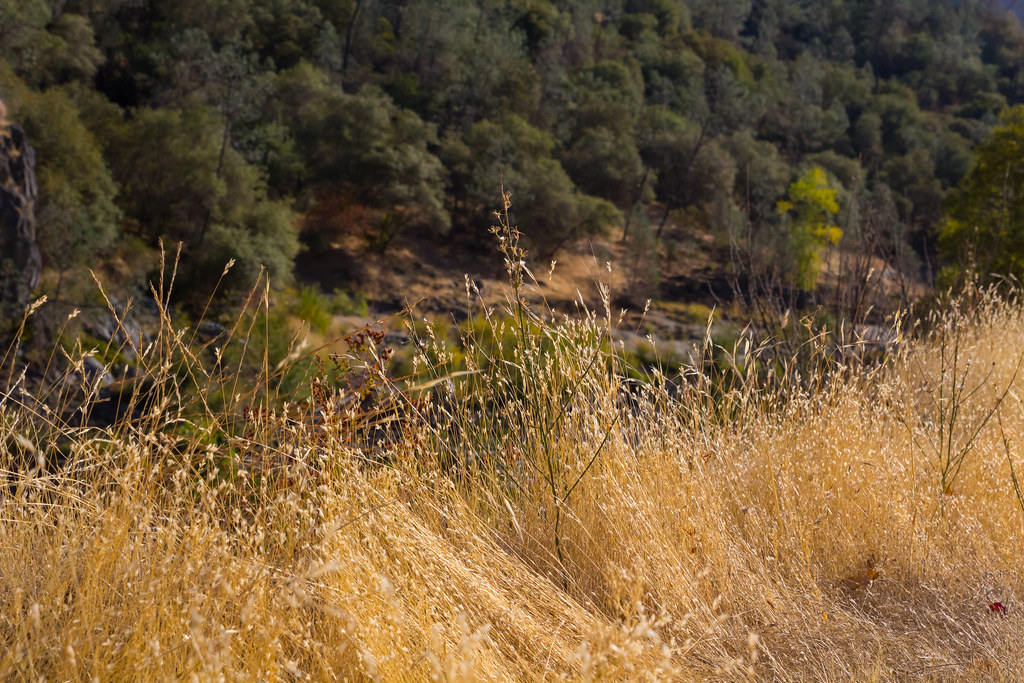 Stonewall TrailHiking · ~12 min drivePhoto: lgilbert7, CC BY 2.0 (via Flickr)Culvert TrailHiking · ~12 min drivePhoto: Chris English, CC BY-SA 3.0 (via Wikimedia Commons)
Best months: January–June and October–November. Best months have typical highs of 55–85 °F, lows of 30 °F or warmer (32 °F where the station doesn't record snow), at most one snowy day and no more than 12 wet days.
Jan
55° / 37°
11 wet
Feb
57° / 37°
11 wet
Mar
60° / 40°
11 wet
Apr
66° / 43°
8 wet
May
74° / 49°
5 wet
Jun
83° / 56°
2 wet
Jul
92° / 63°
0 wet
Aug
91° / 61°
1 wet
Sep
86° / 57°
1 wet
Oct
75° / 49°
4 wet
Nov
61° / 41°
9 wet
Dec
54° / 36°
11 wet
Typical high / low (°F) and days with rain or snow, 1991–2020. Measured at Colfax, CA, 5 mi away at 2,380 ft. This station doesn't record snowfall. Source: NOAA NCEI U.S. Climate Normals 1991–2020.
Map and trail data © OpenStreetMap contributors
