Capitol Mountain Camp
Campground
Campground · 3.8 mi from the trail
Clear today
Weather is good · OpenWeather · checked 10 h ago
Bear River Canal Trail is a moderate out-and-back hike in California, about a mile from the town of Applegate. The route is roughly 10 miles long, with a total elevation gain of about 1,480 feet, and it starts and ends at nearly the same elevation, around 1,890 feet. The climb is steady, and the steepest stretch comes within the first third of the trail, where the grade reaches about 5%. The most comfortable months for a visit are typically late spring and early fall. Typical averages from a nearby weather station in Colfax show May highs around 74°F and October highs around 75°F, while July and August average in the low 90s. The trail makes an easy base for exploring the surrounding area. Auburn SRA, a climbing area, and Meadow Vista Trail are both about 0.8 miles away, and Deer Path Trail is about 0.9 miles off. Cougar Ridge Trail lies about a mile away.
Capitol Mountain Camp
Campground
Places © OpenStreetMap contributors
More in Nevada CityNot on Roamze yet. Their page has how to reach them.
Source: Roamze catalog (indexable pages within 10 miles, PostGIS distance)
 Codfish Falls TrailHiking · ~5 min drivePhoto: Matt Ambroziak, Public domain (via Wikimedia Commons)
 Foresthill Divide LoopHiking · ~8 min drivePhoto: blmcalifornia, Public domain (via Wikimedia Commons)
 Connector TrailHiking · ~9 min drivePhoto: Chris English, CC BY-SA 3.0 (via Wikimedia Commons)
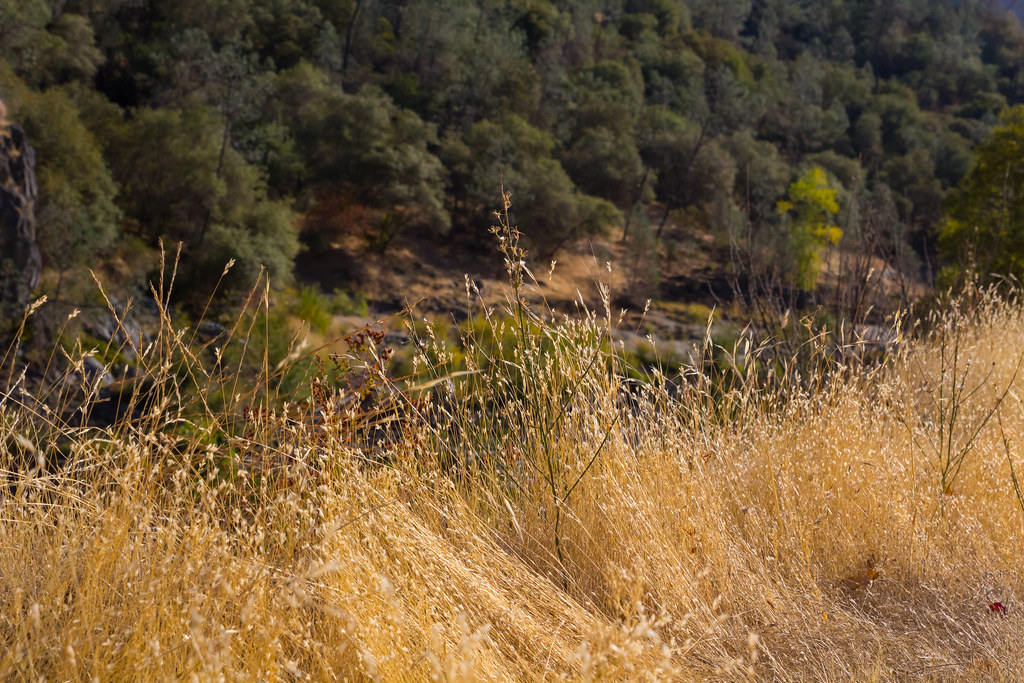 Stonewall TrailHiking · ~10 min drivePhoto: lgilbert7, CC BY 2.0 (via Flickr)Culvert TrailHiking · ~10 min drivePhoto: Chris English, CC BY-SA 3.0 (via Wikimedia Commons)
Best months: January–June and October–November. Best months have typical highs of 55–85 °F, lows of 30 °F or warmer (32 °F where the station doesn't record snow), at most one snowy day and no more than 12 wet days.
Jan
55° / 37°
11 wet
Feb
57° / 37°
11 wet
Mar
60° / 40°
11 wet
Apr
66° / 43°
8 wet
May
74° / 49°
5 wet
Jun
83° / 56°
2 wet
Jul
92° / 63°
0 wet
Aug
91° / 61°
1 wet
Sep
86° / 57°
1 wet
Oct
75° / 49°
4 wet
Nov
61° / 41°
9 wet
Dec
54° / 36°
11 wet
Typical high / low (°F) and days with rain or snow, 1991–2020. Measured at Colfax, CA, 6 mi away at 2,380 ft. This station doesn't record snowfall. Source: NOAA NCEI U.S. Climate Normals 1991–2020.
Map and trail data © OpenStreetMap contributors
