Mud Hen Trail
- 1.3 mi
- round trip
- 1,012 ft
- climb
- 6,068 ft
- high point
- Out and back
- route
Is Mud Hen Trail open right now?
Closure in the area
There's a closure order in Sequoia National Forest. It doesn't name Mud Hen Trail, so check the source for the area it covers (2 listed).
Tule River Glass Container Prohibition Area
Agency closure covering Sequoia National Forest · Order 0513-26-02 · USFS · Sequoia National Forest
Trail of 100 Giants Boardwalk and Area Closure
Agency closure covering Sequoia National Forest · Order 0513-26-03 · USFS · Sequoia National Forest
PUBLIC NUDITY PROHIBITION - Sequoia National Forest
Agency alert covering Sequoia National Forest · Order 0513-26-06 · USFS · Sequoia National Forest
Chico Flat Dispersed Camping Area Prohibition 26-27
Agency alert covering Sequoia National Forest · Order 0513-26-09 · USFS · Sequoia National Forest
Wildlife Alert - BEARS
Agency alert covering Sequoia National Forest · USFS · Sequoia National Forest
As of · Source: USFS · Sequoia National Forest. Agencies don't list every closure — check before you go.
Mud Hen Trail is a moderate out-and-back hike of about 2.6 miles in the Kern River Ranger District of Sequoia National Forest in California, managed by the Forest Service. The route climbs roughly 1,000 feet from a low point of about 5,198 feet to a high point of about 6,068 feet, with the steepest stretch near mile 0.6 at a grade of about 22 percent. That front-loaded climb makes the first half the hardest, and the trail ends at the same elevation it starts, so you'll descend as much as you ascend. The hike takes about 1.5 hours to complete. It's a short, focused outing rather than a full-day trek, so plan on a morning or afternoon and return to camp or a nearby trail. The closest neighbors are Evans Flat Campground and the Borderline Trail, both about 2.3 miles away, with the Just Outstanding Trail at about 2.5 miles. For climbing, Central Boulder sits about 5.4 miles off.
- Evans Flat CampgroundCamping2.3 mi
- Borderline TrailHiking2.3 mi
- Just Outstanding TrailHiking2.5 mi
- Pioneer PointCamping4.6 mi
- Launch 19 Boating SiteLake fishing5.4 mi
- Central BoulderRock climbing5.4 mi
- Campground 61Rock climbing5.5 mi
- Old IsabellaLake fishing6.2 mi
Source: Roamze catalog (indexable pages within 10 miles, PostGIS distance)
 Vista Del LagoHiking · ~9 min drivePhoto: bahniuk, CC BY 3.0 (via Wikimedia Commons)
- Coso Mine LoopHiking · ~9 min drivePhoto: bahniuk, CC BY 3.0 (via Wikimedia Commons)
 Remington Ridge TrailHiking · ~11 min drivePhoto: daveynin, CC BY 2.0 (via Flickr)
 Potato PatchHiking · ~21 min drivePhoto: anon4809, Public Domain Dedication (CC0) (via Flickr)
- Isabella Peak LookoutHiking · ~9 min drivePhoto: bahniuk, CC BY 3.0 (via Wikimedia Commons)
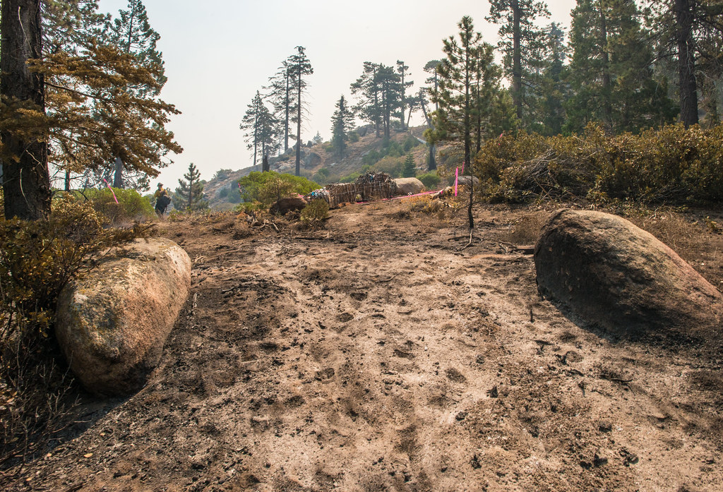 BLACK MOUNTAIN SADDLEHiking · ~9 min drivePhoto: USDAgov, Public Domain Mark (via Flickr)
 MILL CREEKHiking · ~16 min drivePhoto: Terry Lucas, CC BY 3.0 (via Wikimedia Commons)
- Borderline TrailHiking · ~4 min drive
- Black Mountain TrailHiking · ~9 min drivePhoto: USDAgov, Public Domain Mark (via Flickr)
 Cattle RunHiking · ~19 min drivePhoto: USDAgov, Public Domain Mark (via Flickr)
Map and trail data © OpenStreetMap contributors
