Mt. Lowe
Campground
Campground · 0.1 mi from the trail
 Photo: mjhbower, CC BY-SA 2.0 (via Flickr)
Alert in the area
The Forest Service lists 7 alerts for Angeles National Forest.
Rincon-Redbox Road (2N24) Closure
Agency alert covering Angeles National Forest · Order 05-01-26-13 · USFS · Angeles National Forest
Fire Danger Level Elevated to "Very High"
Agency alert covering Angeles National Forest · USFS · Angeles National Forest
San Gabriel Canyon OHV Area Prohibitions
Agency alert covering Angeles National Forest · Order 05-01-26-09 · USFS · Angeles National Forest
San Dimas Experimental Forest Closure
Agency alert covering Angeles National Forest · USFS · Angeles National Forest
Eaton Fire Area Closure
Agency alert covering Angeles National Forest · Order 05-01-26-04 · USFS · Angeles National Forest
As of · Source: USFS · Angeles National Forest. Agencies don't list every closure — check before you go.
Mt Lowe (West) is an easy hike in the Los Angeles Gateway Ranger District of Angeles National Forest, managed by the Forest Service. The trail is about 2.6 miles long, with a one-way elevation gain of 958 feet, and it makes an out-and-back route from a low point of about 4,562 feet to a high of about 5,553 feet. Spring and fall are the most comfortable times to go. Typical averages from a nearby weather station at Mt Wilson show May highs around 70°F and October highs around 72°F, while July and August average in the mid-80s. The trail is on natural surface and bikes are allowed. Mt. Lowe campground and the Tom Sloane hike both sit about 0.1 mile away, and the Merrill (Upper) hike is about 0.2 mile off. Idlehour campground is roughly 1.9 miles away.
Mt. Lowe
Campground
 If it rainsBoothsift, CC BY-SA 4.0 · Wikimedia Commons
Places © OpenStreetMap contributors · Photos: Boothsift, CC BY-SA 4.0 (commons)
More in Acton Tom SloaneHikingPhoto: mjhbower, CC BY-SA 2.0 (via Flickr)0.1 miMerrill (Upper)HikingPhoto: mjhbower, CC BY-SA 2.0 (via Flickr)0.2 mi
 Big Tujunga CreekCanoeingPhoto: MajaTrochimczyk, CC BY 3.0 us (via Wikimedia Commons)7.7 mi
 West Fork San Gabriel RiverCanoeingPhoto: Eeekster, CC BY 3.0 (via Wikimedia Commons)8.3 mi
Source: Roamze catalog (indexable pages within 10 miles, PostGIS distance)
Tom SloaneHiking · Next doorPhoto: mjhbower, CC BY-SA 2.0 (via Flickr)Jim Spencer trailHiking · Next doorPhoto: mjhbower, CC BY-SA 2.0 (via Flickr)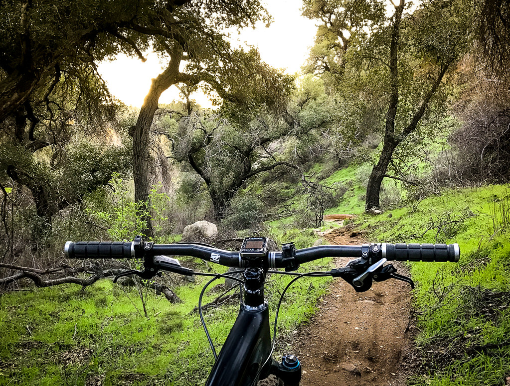 Sunset Ridge TrailHiking · ~3 min drivePhoto: Perfect Zero, CC BY 2.0 (via Flickr)Idlehour TrailHiking · Next doorPhoto: mjhbower, CC BY-SA 2.0 (via Flickr)Merrill (Upper)Hiking · Next doorPhoto: mjhbower, CC BY-SA 2.0 (via Flickr)
 Echo MtnHiking · ~2 min drivePhoto: mjhbower, CC BY-SA 2.0 (via Flickr)
 Altadena Crest TrailHiking · ~4 min drivePhoto: USMARINE0311 from California, United States, CC BY-SA 2.0 (via Wikimedia Commons)One Man & Mule TrailHiking · Next doorPhoto: mjhbower, CC BY-SA 2.0 (via Flickr)
 Old Echo Montain TrailHiking · ~3 min drivePhoto: Brück & Sohn Kunstverlag Meißen, CC0 (via Wikimedia Commons)
Also worth it near here
 Mount LoweSummit · Next doorPhoto: The original uploader was Magi Media at English Wikipedia., CC BY-SA 3.0 (via Wikimedia Commons)
 Mount Lowe MotorwayMountain biking · ~1 min drivePhoto: Crishazzard, CC BY-SA 4.0 (via Wikimedia Commons)
Best months: Year-round. Best months have typical highs of 55–85 °F, lows of 30 °F or warmer (32 °F where the station doesn't record snow), at most one snowy day and no more than 12 wet days.
Jan
56° / 38°
7 wet
Feb
55° / 37°
8 wet
Mar
59° / 39°
7 wet
Apr
63° / 42°
4 wet
May
70° / 48°
3 wet
Jun
79° / 58°
1 wet
Jul
84° / 64°
1 wet
Aug
85° / 64°
1 wet
Sep
81° / 59°
1 wet
Oct
72° / 51°
3 wet
Nov
63° / 43°
4 wet
Dec
55° / 37°
7 wet
Typical high / low (°F) and days with rain or snow, 1991–2020. Measured at Mt Wilson Cbs, CA, 2.2 mi away at 5,710 ft. This station doesn't record snowfall. Source: NOAA NCEI U.S. Climate Normals 1991–2020.
Season: Year-round.
About 2.6 mi round trip.
About 958 ft of climbing round trip.
It is rated easy.
Year-round.
2: Mt Lowe (West) and Merrill (Upper).
Daily highs and lows, wind and the chance of precipitation at the summit and route start for the next 7 days, from the Open-Meteo model.
