Buckeye Flats Campground
Campground
Campground · 1.7 mi from the trail
No closures listed
The National Park Service lists no closures for Sequoia National Park.
As of · Source: NPS · Sequoia National Park. Agencies don't list every closure — check before you go.
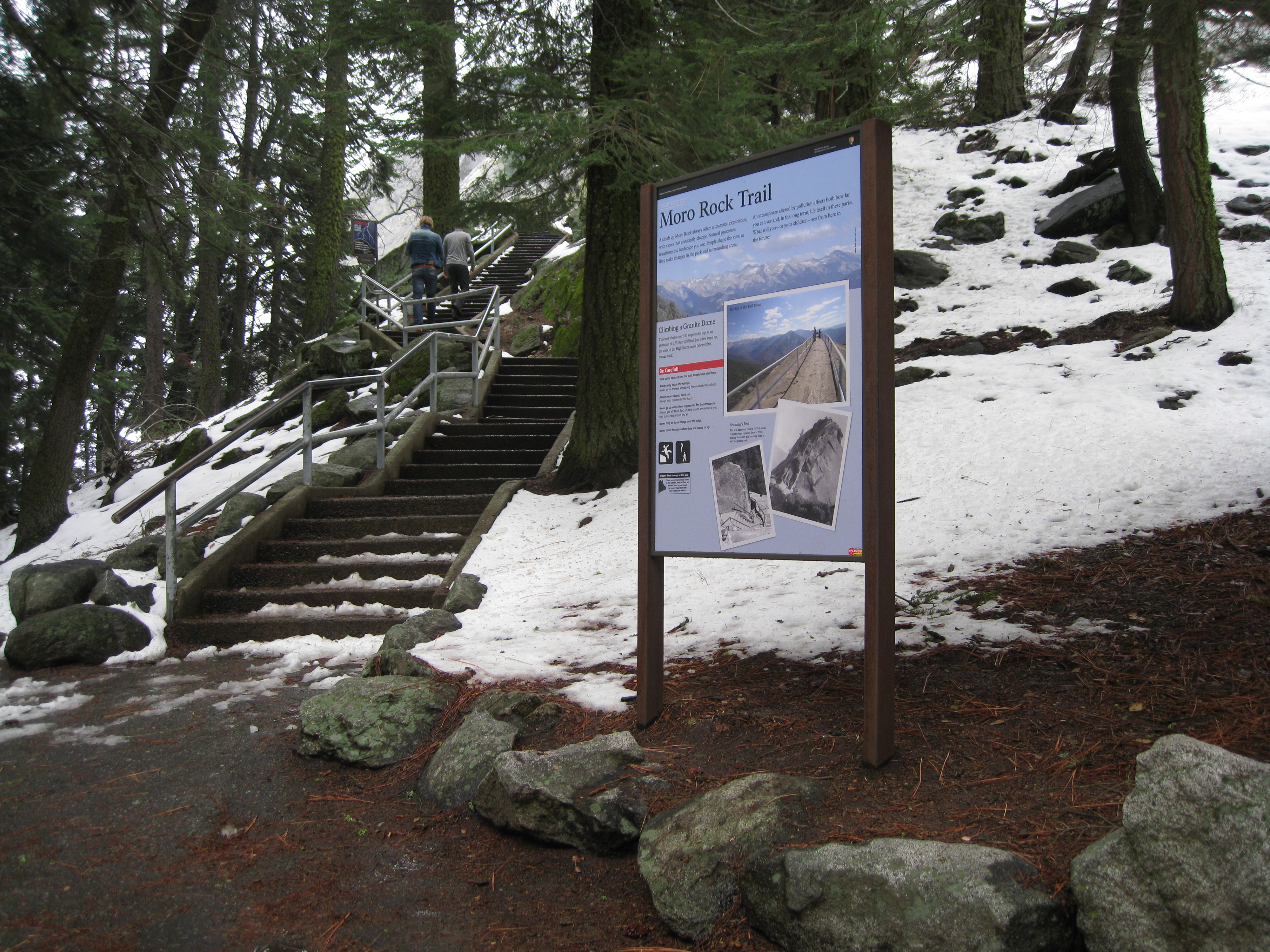
Welcome to one of the most popular and spectacular hikes in these parks. To reach the top of this granite dome, take the stairway that climbs up 300 feet (.09 km) to the 6,275 ft (2,050 km) summit. At the top is a spectacular 360° view from the Great Western Divide to the east around to the western half of Sequoia National Park. Consider summiting Moro Rock at dawn or before dusk. It offers a huge expanse of night sky, a rare view in forested parts of the parks. One of the best places in the parks to see sunset and moonrise. Moro Rock is one of several granite domes in these parks. These domes formed millions of years ago when magma beneath the surface cooled into granite. Since erosion removed the layers of softer rock that were above them, they have been rebounding and lifting a tiny bit each year. In summer, free park shuttles at the Giant Forest Museum will drop you off at this parking area. This parking area is two miles (3.2 km) from the Generals Highway. Safety Take your time; unless you are used to this elevation this walk can be challenging. Moro Rock is also prone to lightning strikes. If there is any evidence of an approaching storm, get off the rock quickly but safely. Winter Access To access the base of this trail in winter, you will need to hike, snowshoe, or ski into the area. In winter, the staircase is typically not safe to ascend. Don't climb the stairs if any ice or snow is present; it is very dangerous.
Buckeye Flats Campground
Campground
 If it rainsDavid Fulmer, CC BY 2.0 · Wikimedia Commons
Giant Forest Museum
Museum
Places © OpenStreetMap contributors · Photos: David Fulmer, CC BY 2.0 (commons)
More in Silver CityNot on Roamze yet. Their page has how to reach them.
 Giant Forest - LocalHiking · Next doorPhoto: ogwen, CC BY-SA 3.0 (via Wikimedia Commons)
 Crescent Mdw-BearpawHiking · ~2 min drivePhoto: Juhele_CZ, Public Domain Dedication (CC0) (via Flickr)
 Paradise CreekHiking · ~3 min drivePhoto: Vadim Manuylov, CC BY-SA 3.0 (via Wikimedia Commons)
 SoldiersHiking · Next doorPhoto: Didier B (Sam67fr), CC BY-SA 3.0 (via Wikimedia Commons)Bobcat PointHiking · ~1 min drivePhoto: Didier B (Sam67fr), CC BY-SA 3.0 (via Wikimedia Commons)
 Wolverton CutoffHiking · ~4 min drivePhoto: NealVickers, CC BY-SA 4.0 (via Wikimedia Commons)
Best months: June–October. Best months have typical highs of 55–85 °F, lows of 30 °F or warmer (32 °F where the station doesn't record snow), at most one snowy day and no more than 12 wet days.
Jan
39° / 17°
9 wet · 8 snow
Feb
41° / 18°
10 wet · 8 snow
Mar
45° / 22°
10 wet · 8 snow
Apr
50° / 26°
8 wet · 5 snow
May
58° / 33°
5 wet · 2 snow
Jun
68° / 40°
3 wet
Jul
76° / 46°
2 wet
Aug
76° / 44°
2 wet
Sep
70° / 39°
2 wet
Oct
59° / 31°
4 wet · 1 snow
Nov
47° / 23°
6 wet · 4 snow
Dec
37° / 17°
8 wet · 6 snow
Typical high / low (°F) and days with rain or snow, 1991–2020. Measured at Lodgepole, CA, 4.4 mi away at 6,735 ft. Source: NOAA NCEI U.S. Climate Normals 1991–2020.


